
Record setting warmth for Saturday before sharp weekend cooldown
Temperature rollercoaster with a 30-40 degree drop for Sunday

Go Deeper.
Create an account or log in to save stories.
Like this?
Thanks for liking this story! We have added it to a list of your favorite stories.


Minnesota is getting a brief taste of summer today, but a cold front will quickly bring temperatures sliding back down.
Arrival of spring brings summer-like temperatures
We’re just coming off the spring equinox on Friday, but today will feel far more like June than mid-March. Unseasonably warm air is surging into Minnesota, sending temperatures toward record territory. In the Twin Cities, the record high of 76 degrees set in 1938 could be in jeopardy, while St. Cloud may also challenge its record of 75 degrees, which has stood for more than a century.
A strong upper-level ridge stretching from the desert Southwest into Montana is shifting east, helping pull in the same air mass that’s been shattering temperature records out west in recent days.
Turn Up Your Support
MPR News helps you turn down the noise and build shared understanding. Turn up your support for this public resource and keep trusted journalism accessible to all.

Afternoon highs on Saturday are expected to climb well into the 70s across the region, with parts of southwest and south-central Minnesota possibly reaching the low 80s. Meanwhile, a brief clipper system could bring a light wintry mix to the Arrowhead region early in the day.

The warmth won’t last long. A cold front dropping south out of Canada will sweep through the area Saturday night, bringing a quick return to colder air and increasing cloud cover. There is a slight chance for a few light rain showers, but much of the region is expected to stay dry.
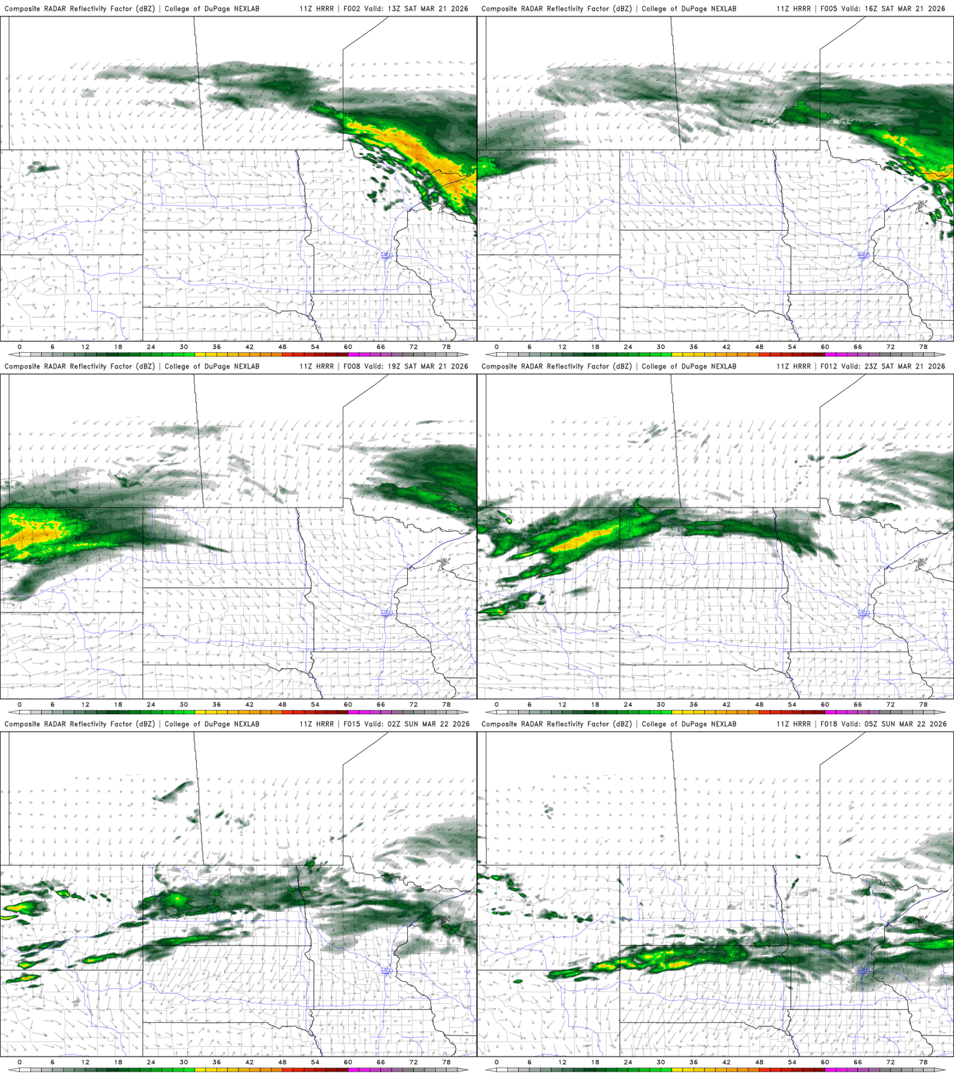
By Sunday, temperatures will likely fall steadily throughout the day, with highs occurring around midnight and little to no warming afterward. Afternoon temperatures may struggle to reach 40 degrees in southern Minnesota, with 20s and 30s common across the north, roughly 30 to 35 degrees colder than Saturday’s highs.

Looking ahead to next week, temperatures will moderate slightly but remain on the cooler side, with highs generally in the 40s and 50s. A few weak systems will pass through the region, but most are expected to track north of the area, keeping precipitation chances limited. A better opportunity for some light rain may arrive Wednesday night into Thursday as another disturbance dips a bit farther south.
As we move toward the end of March and early April, there are signs of a more active weather pattern taking shape. While Saturday’s warmth may feel like a preview of summer, it’s still too early to assume winter has fully loosened its grip.

