
Cold front brings cooler temperatures and cloudy skies
30-40 degree temperature swing from Saturday

Go Deeper.
Create an account or log in to save stories.
Like this?
Thanks for liking this story! We have added it to a list of your favorite stories.


Minnesota is experiencing a quick turnaround in weather as the passage of a cold front has brought a noticeable drop in temperatures and a shift to more typical March conditions.
Colder, but seasonable temperatures for Sunday
The cold front that passed through Saturday night has pushed the record-breaking warm air mass to the south. Minneapolis-St. Paul Airport set a new record, surpassing the 1938 high of 76 by reaching 79.
Along with cooler air, a thick blanket of stratus clouds has settled over the state. The cloud cover is expected to decrease by Sunday afternoon, but it could linger longer than expected. If the clouds persist, afternoon highs may be a few degrees lower.

These temperatures are a stark contrast to Saturday’s highs, which were 30 to 40 degrees warmer. However, despite the clouds, Sunday’s temperatures are expected to remain near normal for this time of year.
Looking ahead to this week, several frontal passages will bring light precipitation chances. The first chance comes Monday night into Tuesday, mainly affecting northeastern Minnesota. The second, from Wednesday night into Thursday, will bring a more widespread chance for rain in the south and a wintry mix in the north.
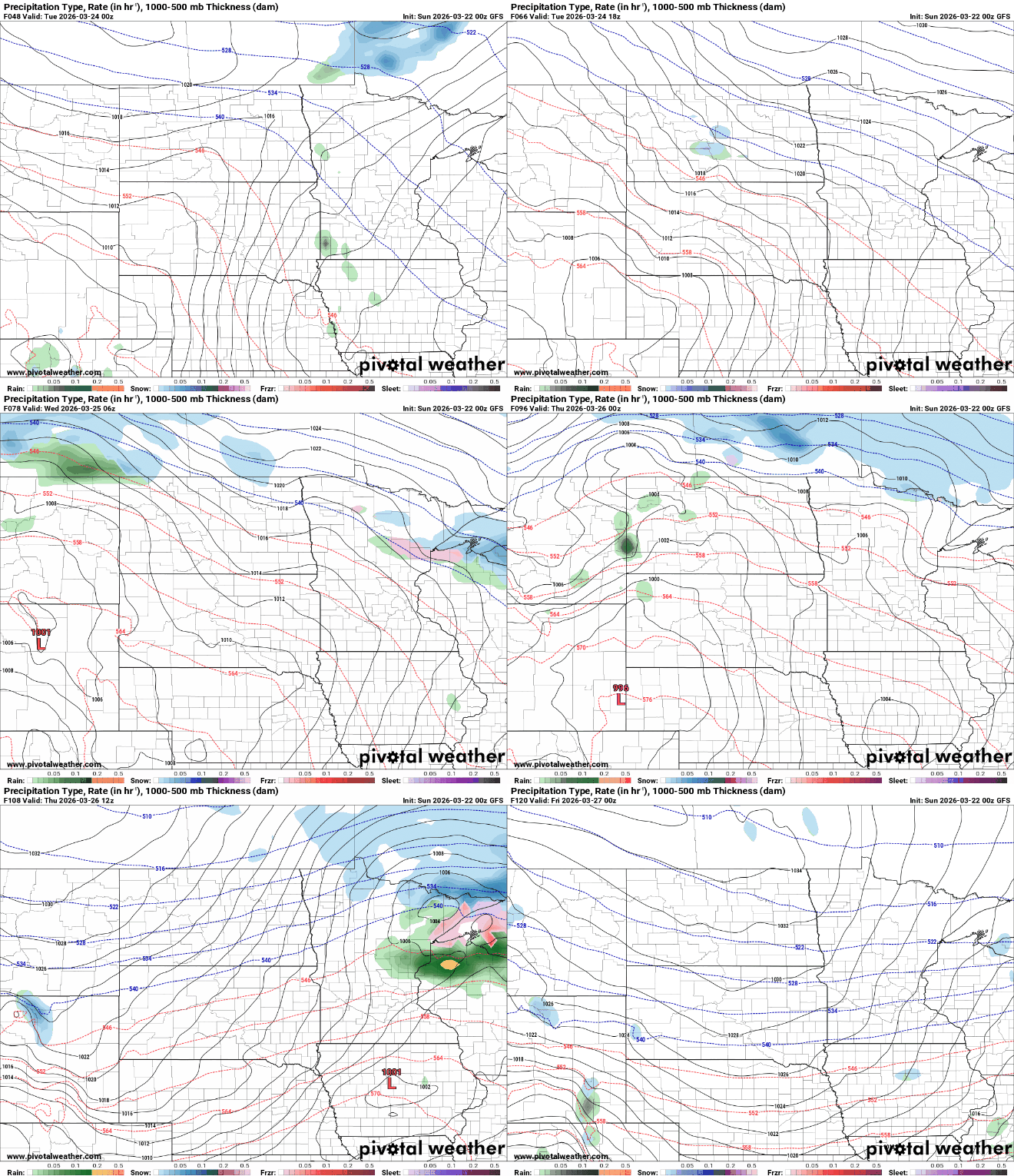
Behind the second front, colder air will filter in, leading to a chilly end to the week. Highs on Friday are expected to struggle to reach the 30s and 40s, marking a noticeable drop in temperatures compared to earlier in the week.

Turn Up Your Support
MPR News helps you turn down the noise and build shared understanding. Turn up your support for this public resource and keep trusted journalism accessible to all.

