
Slow clearing skies lead to cooler conditions
Gradual warm up through midweek
Go Deeper.
Create an account or log in to save stories.
Like this?
Thanks for liking this story! We have added it to a list of your favorite stories.


Clearing skies and calming winds Sunday night will lead to chilly conditions, followed by a gradual warmup through midweek.
Skies clear, winds calm
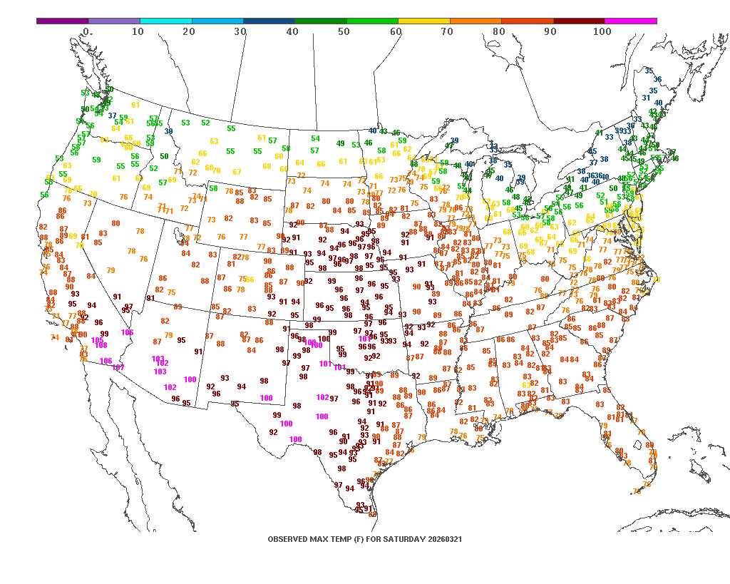
Hard to believe that just Saturday, we were enjoying summerlike temperatures from the latest heat dome out west. Saturday’s high temperature map shows that heat extending into the triple digits in Texas and the 90s across the central Plains.
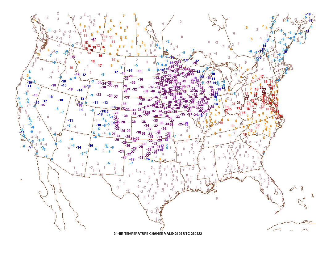
Just 24 hours later, we are seeing a temperature swing of around 30 to 45 degrees cooler.
Turn Up Your Support
MPR News helps you turn down the noise and build shared understanding. Turn up your support for this public resource and keep trusted journalism accessible to all.
Clouds have been slow to clear across Minnesota this Sunday afternoon, leading to a chilly day following Saturday’s record-breaking warmth. Skies are expected to gradually clear by this evening, setting the stage for a cold night. As winds become calm, overnight lows are forecast to fall into the teens and 20s.

A warming trend will take shape through midweek as strong ridging builds over the central United States. This pattern is expected to bring seasonal temperatures while pushing the jet stream north of the region, keeping most storm systems away from Minnesota.
Highs on Monday will climb into the 40s, with low 50s expected in southern Minnesota where sunshine is more abundant.

The next notable weather system arrives late Wednesday into Thursday, when a low-pressure system tracking along the U.S.-Canada border will send a cold front through the region. This front is expected to bring a band of showers and light rain through central Minnesota, with a wintry mix expected in the north.
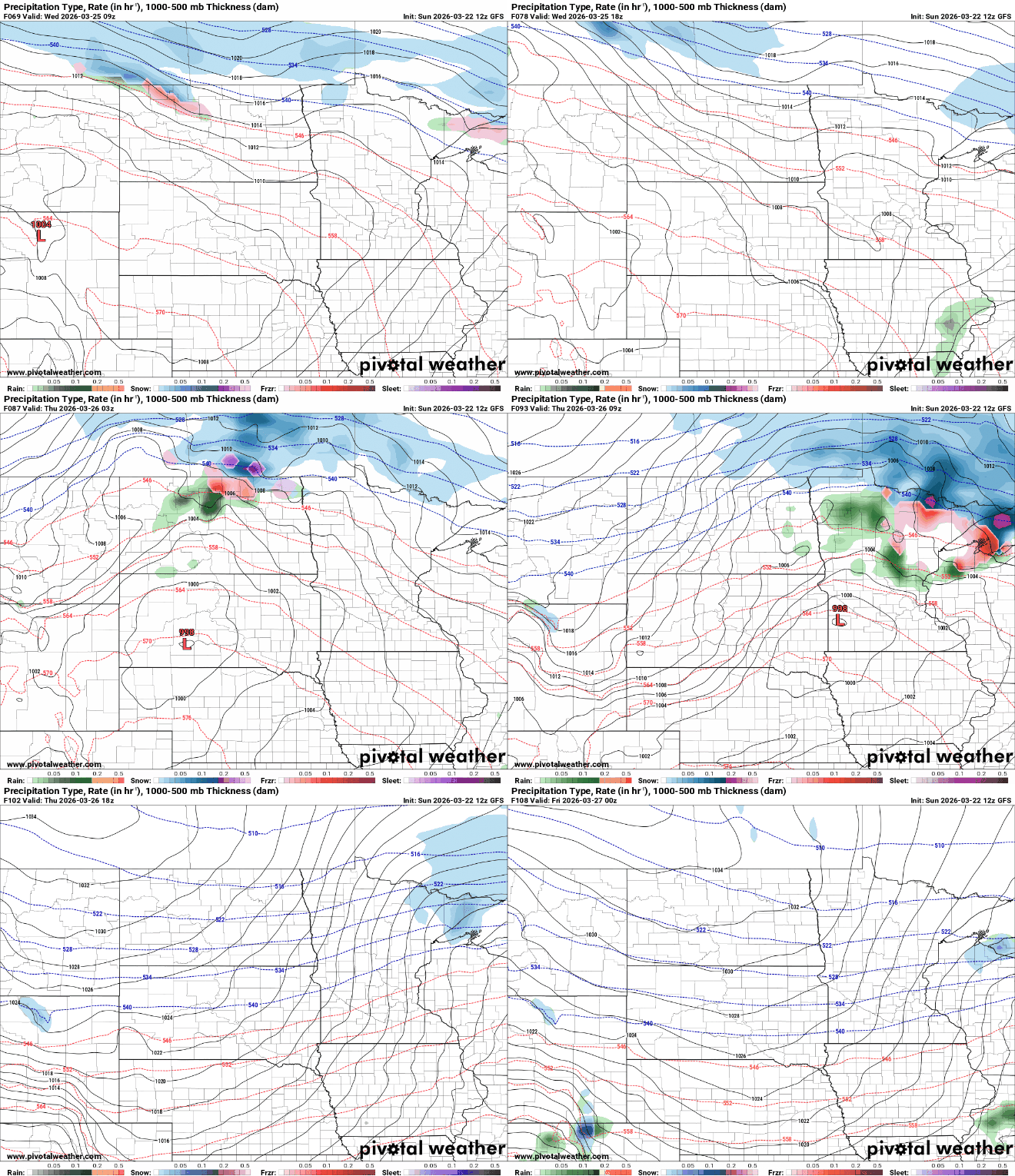
Colder air will return behind the front, with temperatures dropping back below normal by Friday and into next weekend.

