
Cooler but still well above normal this week
Mainly minor precipitation chances this week

Go Deeper.
Create an account or log in to save stories.
Like this?
Thanks for liking this story! We have added it to a list of your favorite stories.


Temperatures this week will average just below normal in the far north, but for most it will be above normal this week. We have a couple minor precipitation chances Monday night and again Thursday.
Warmer-than-normal temperatures persist this week
After a cooler Sunday, temperatures Monday will be back a bit above normal. Afternoon highs will range from the low 50s south to the low 40s north with cooler readings along the North Shore and in the far northwest corner of Minnesota.
We should have lots of morning sun that will become hazier in the afternoon as high, cirrus clouds move in.

We’ll see the first of a few, overall minor, precipitation chances this week develop late Monday into Monday night. We’ll see a wintry mix of rain and snow showers north with perhaps a few showers farther south Monday night.
Turn Up Your Support
MPR News helps you turn down the noise and build shared understanding. Turn up your support for this public resource and keep trusted journalism accessible to all.
There could be some minor slushy accumulations along the Gunflint Trail and deep in the Arrowhead.
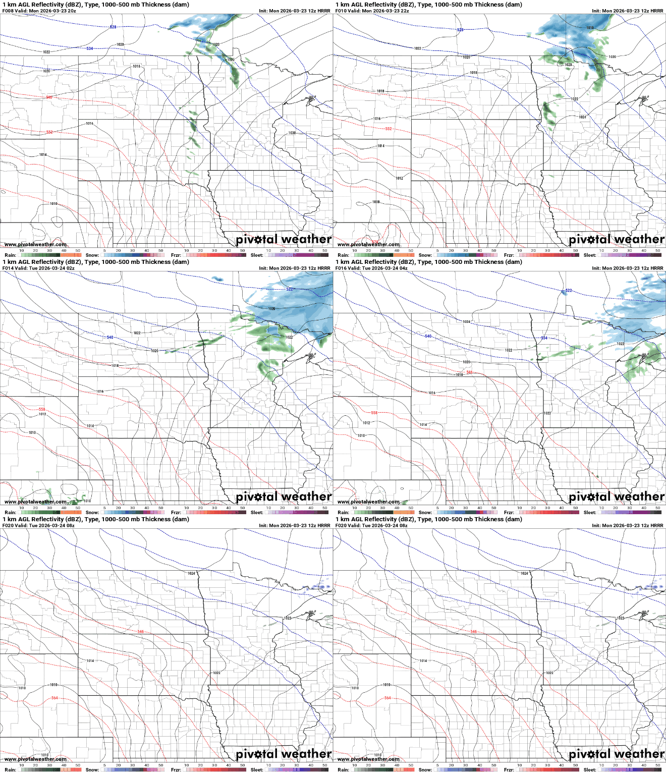
Tuesday will be a bit warmer with a mix of clouds and sunshine. Highs will reach the 60s in southwestern Minnesota with widespread 50s in central and southern Minnesota and cooler readings far north.

We’ll top out in the 60s in the Twin Cities Wednesday once again with 70s across much of southwestern Minnesota. Those readings are back up to near 10 to 20 degrees above normal.

A couple of other minor clipper systems will brush the northern portions of Minnesota Tuesday night into Wednesday with another system that will impact much of Minnesota by Thursday.
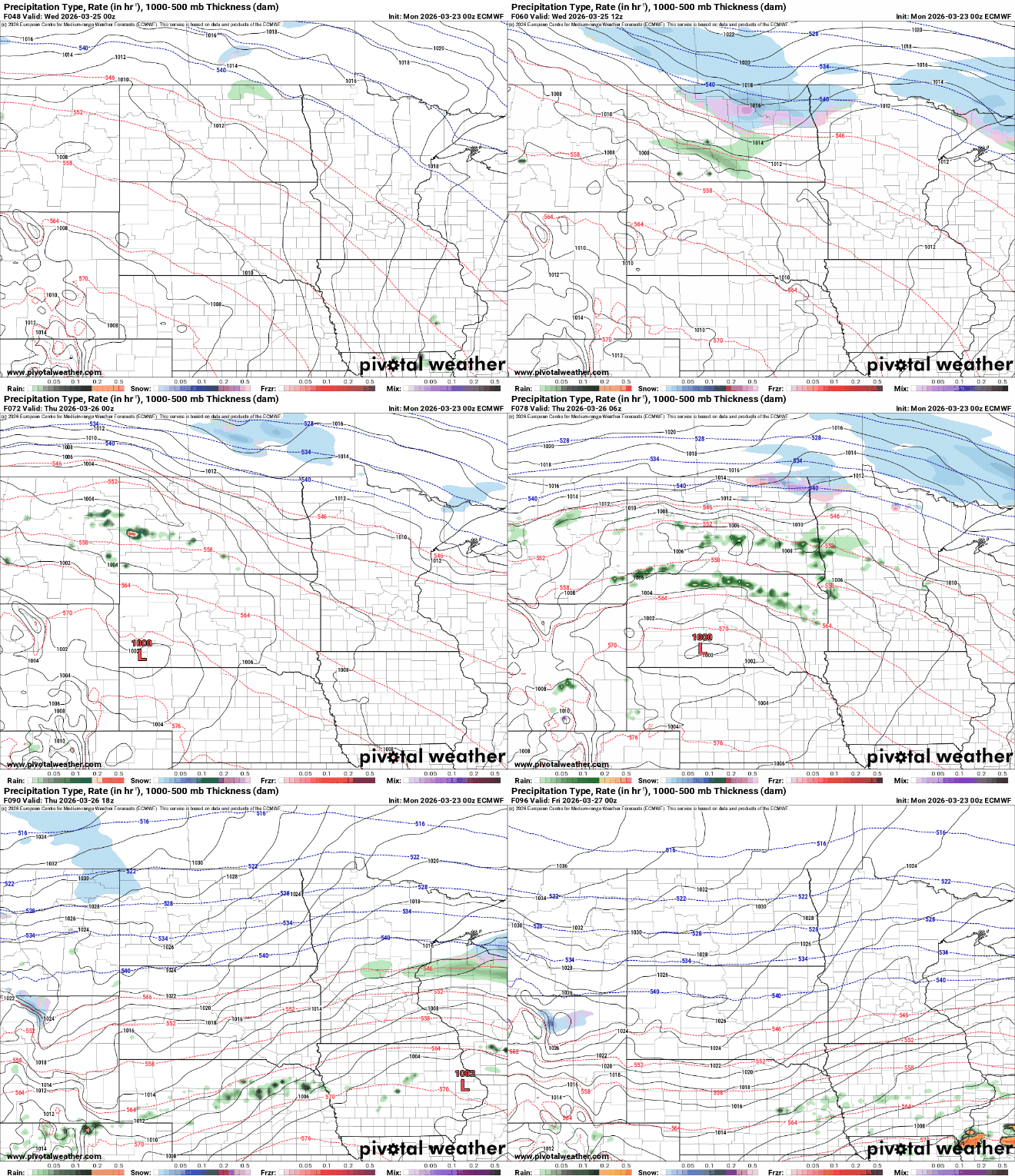
Neither of these disturbances are particularly significant. In total Monday through early Thursday, parts of far northern Minnesota could see up to an inch or two of slushy snowfall, combined.

Friday will be the coolest day of the week behind the system with highs mostly in the low 40s south to near 30 degrees north.

Temperatures will warm over the upcoming weekend again.

