
Warmer Tuesday and Wednesday
Northern Minnesota will see some occasional precipitation
Go Deeper.
Create an account or log in to save stories.
Like this?
Thanks for liking this story! We have added it to a list of your favorite stories.


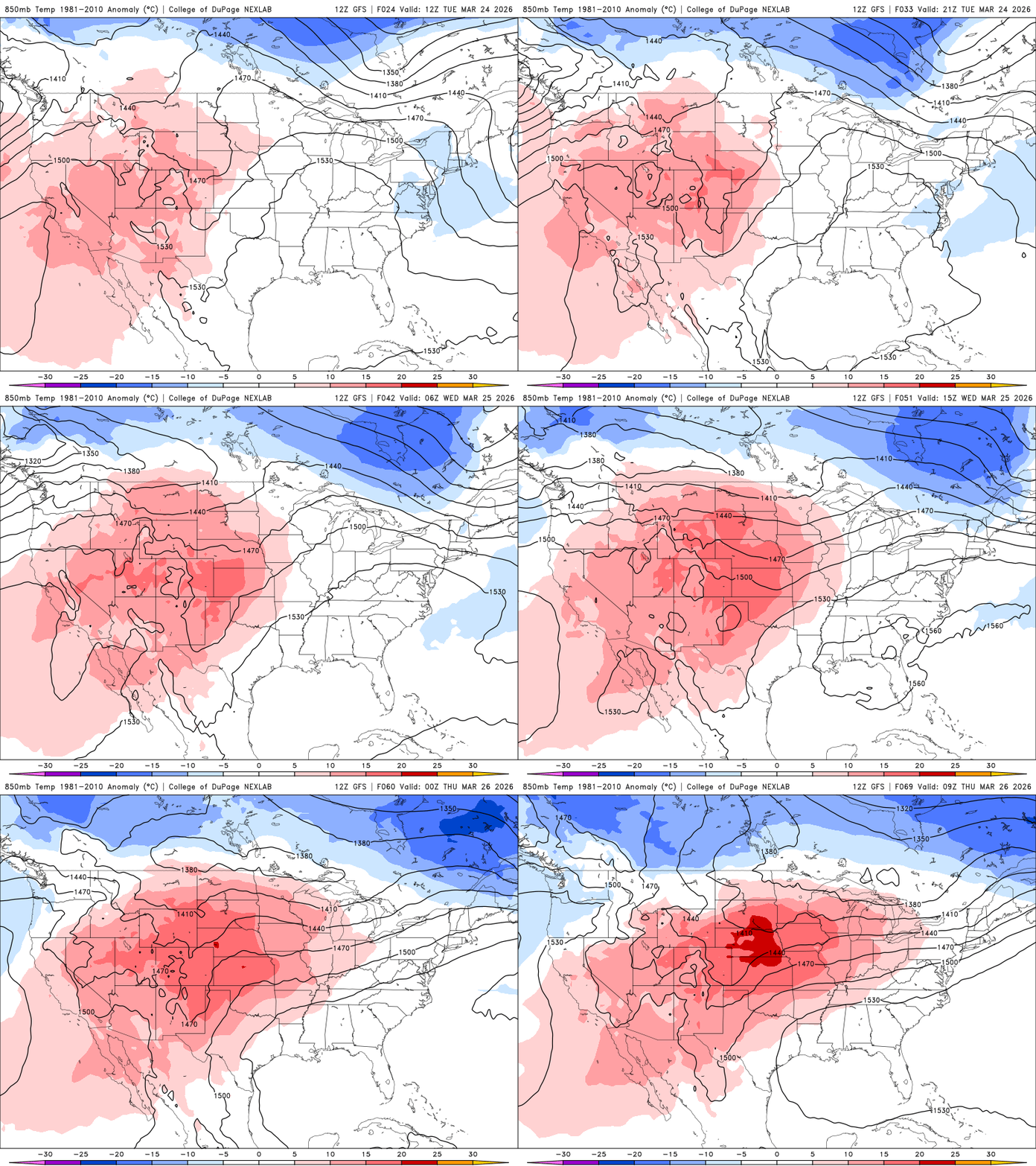
Temperatures will warm Tuesday and Wednesday. A couple of disturbances will be moving across mainly northern Minnesota the next few days.
Warmer Tuesday and Wednesday with a chance of a few showers Thursday
We’ll see a mix of high and mid clouds filtering and occasionally blocking the sunshine Tuesday but it will be warmer than the last couple of days.
Most of central and southern Minnesota will see highs in the 50s with even some 60-degree readings in southwestern Minnesota. The North Shore and northwestern Minnesota will be cooler.

Wednesday will be even warmer with highs returning to the 60s in southern Minnesota. Southwestern Minnesota will be back in the 70s again.
Turn Up Your Support
MPR News helps you turn down the noise and build shared understanding. Turn up your support for this public resource and keep trusted journalism accessible to all.

A couple of disturbances will continue to graze mainly northern Minnesota with some rain and snow showers the next couple of days. Another disturbance Thursday will see a bit more of a widespread chance of at least a few rain showers.
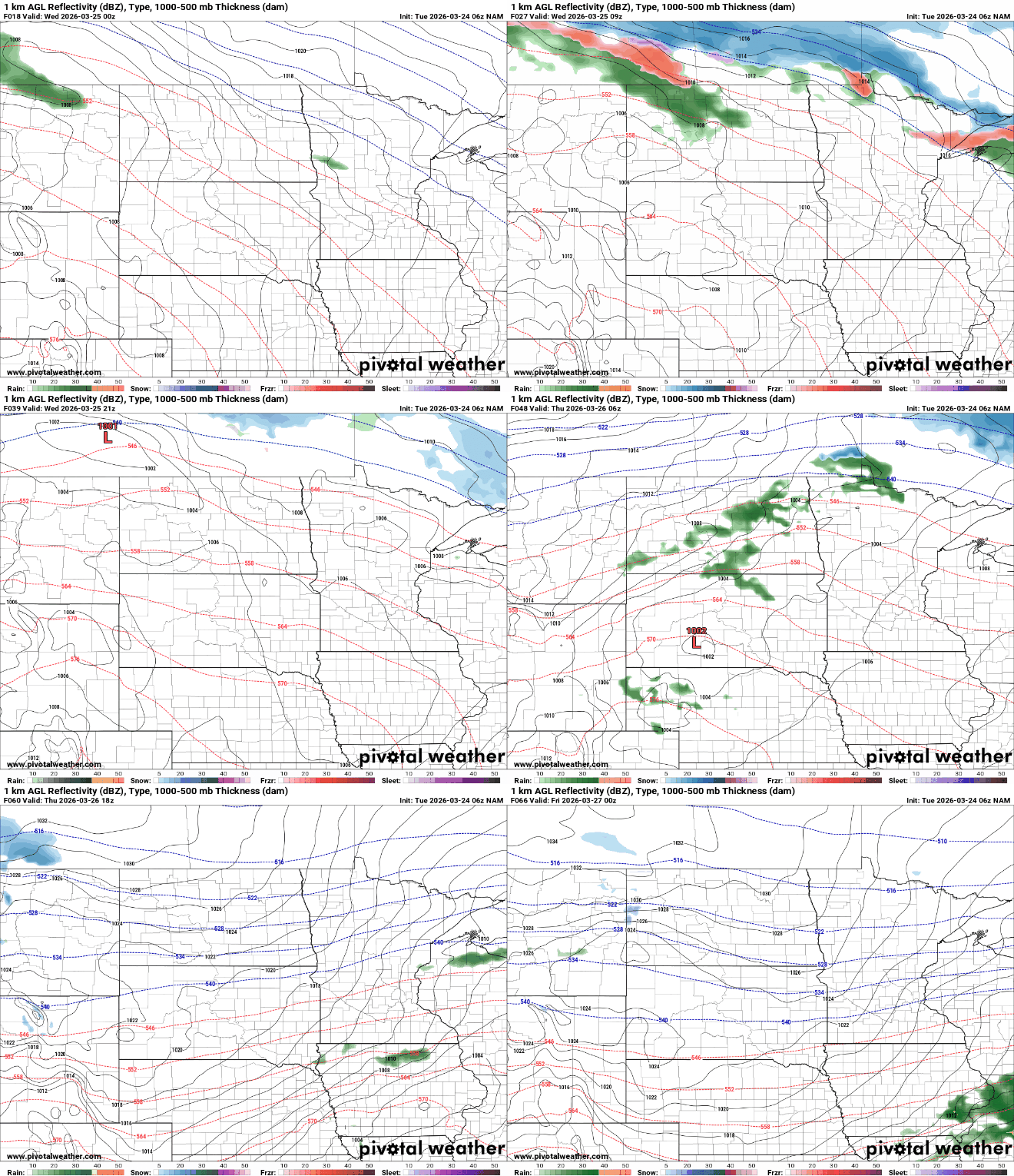
Over the course of two systems Tuesday into Wednesday and Thursday, portions of far northern Minnesota into the Arrowhead region could see some slushy snowfall accumulations. Most places will see mainly light rain.

Behind the Thursday disturbance, there will be a brief shot of cold air. Highs will be mostly in the 40s and 30s Friday but with sunshine.

Temperatures will warm again over the weekend with 60s likely for southern Minnesota by Sunday afternoon.

