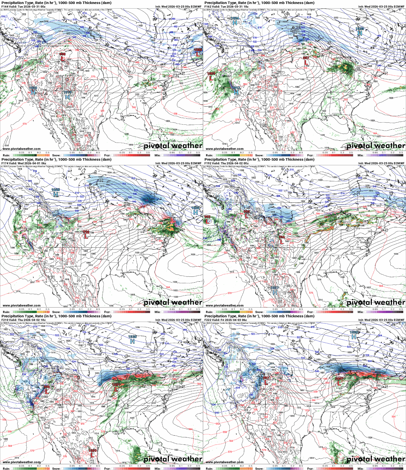
Very warm Wednesday followed by a few showers and cooler air
Temps will warm back up this weekend

Go Deeper.
Create an account or log in to save stories.
Like this?
Thanks for liking this story! We have added it to a list of your favorite stories.


Temperatures will warm to 20 to 30 degrees above normal Wednesday afternoon. A disturbance brings a few showers Thursday and colder air.
A typical March roller coaster of temperatures
We’re in for a warm one Wednesday. We’ll see hazy, filtered sun through high clouds and temperatures in the afternoon about 20 to 30 degrees above normal.
Afternoon highs will be in the 60s and 70s across most of southern Minnesota. It’ll be considerably colder along the North Shore and in northwestern Minnesota with some scattered rain and snow showers up north Wednesday morning.

A disturbance moving through the region will deliver some scattered light rain showers Wednesday night into Thursday morning, mixing with snow in northern Minnesota. Most precipitation will generally be light. A little slush is possible deep into the Arrowhead.
Turn Up Your Support
MPR News helps you turn down the noise and build shared understanding. Turn up your support for this public resource and keep trusted journalism accessible to all.
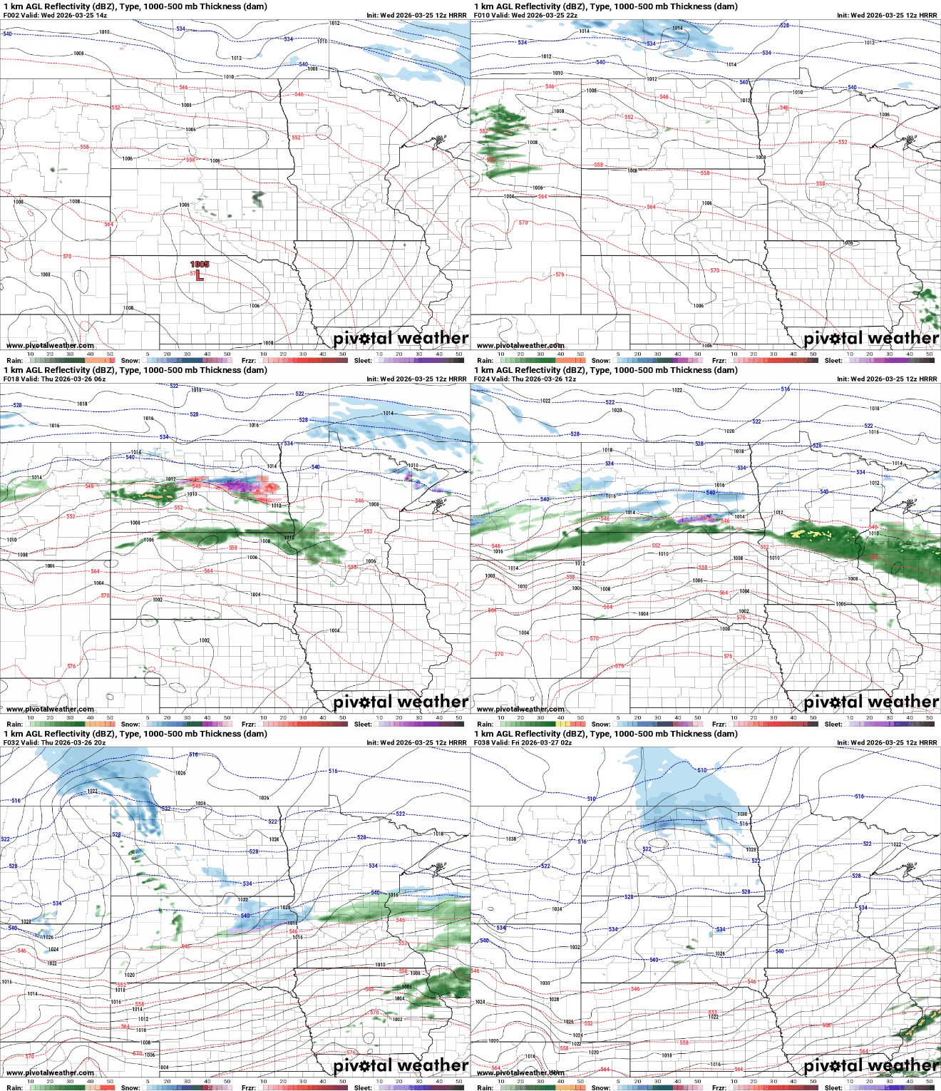
Precipitation will be generally light with up to one-quarter inch of rainfall across portions of central and north-central Minnesota Wednesday night into Thursday morning:

Temperatures will hold steady or fall throughout the day Thursday as colder air moves in behind the system. In the Twin Cities, we’ll likely remain around 50 degrees through the day.
It’ll set us up for a chillier Friday, but high temperatures will actually be more seasonable, mostly in the 40s and 30s.

We’ll see sunshine Friday. Temperatures will be warming back up already for the weekend with 50s on Saturday and 60s again Sunday in the Twin Cities and for much of central and southern Minnesota.
The pattern also is looking more active next week with a potential pair of storm systems that could deliver both rain and snow to Minnesota.