Cold front brings chilly end to the workweek; weekend warmup ahead
Elevated fire weather concerns this weekend

Go Deeper.
Create an account or log in to save stories.
Like this?
Thanks for liking this story! We have added it to a list of your favorite stories.


A cold front is sweeping through Minnesota Thursday, bringing falling temperatures and setting up a much chillier end to the workweek.
The chill won’t last long but the weekend warmup may bring an increased risk of fire weather.
Brief cooldown, then weekend warmup and fire risk
Wednesday’s highs reached the 60s, 70s and near 80 degrees across central and southern Minnesota. The cold front shifting south Thursday is bringing much cooler air.
While Friday’s temperatures will be only slightly below average, the drop will feel dramatic compared with Wednesday’s highs.
Turn Up Your Support
MPR News helps you turn down the noise and build shared understanding. Turn up your support for this public resource and keep trusted journalism accessible to all.
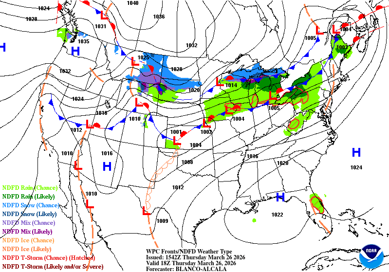
Friday highs will struggle to climb out of the 20s in northern Minnesota and the 30s in the south due to that much colder air mass.

The colder weather won’t last long as a weekend warmup brings highs in the 50s on Saturday and the 60s to 70s on Sunday.


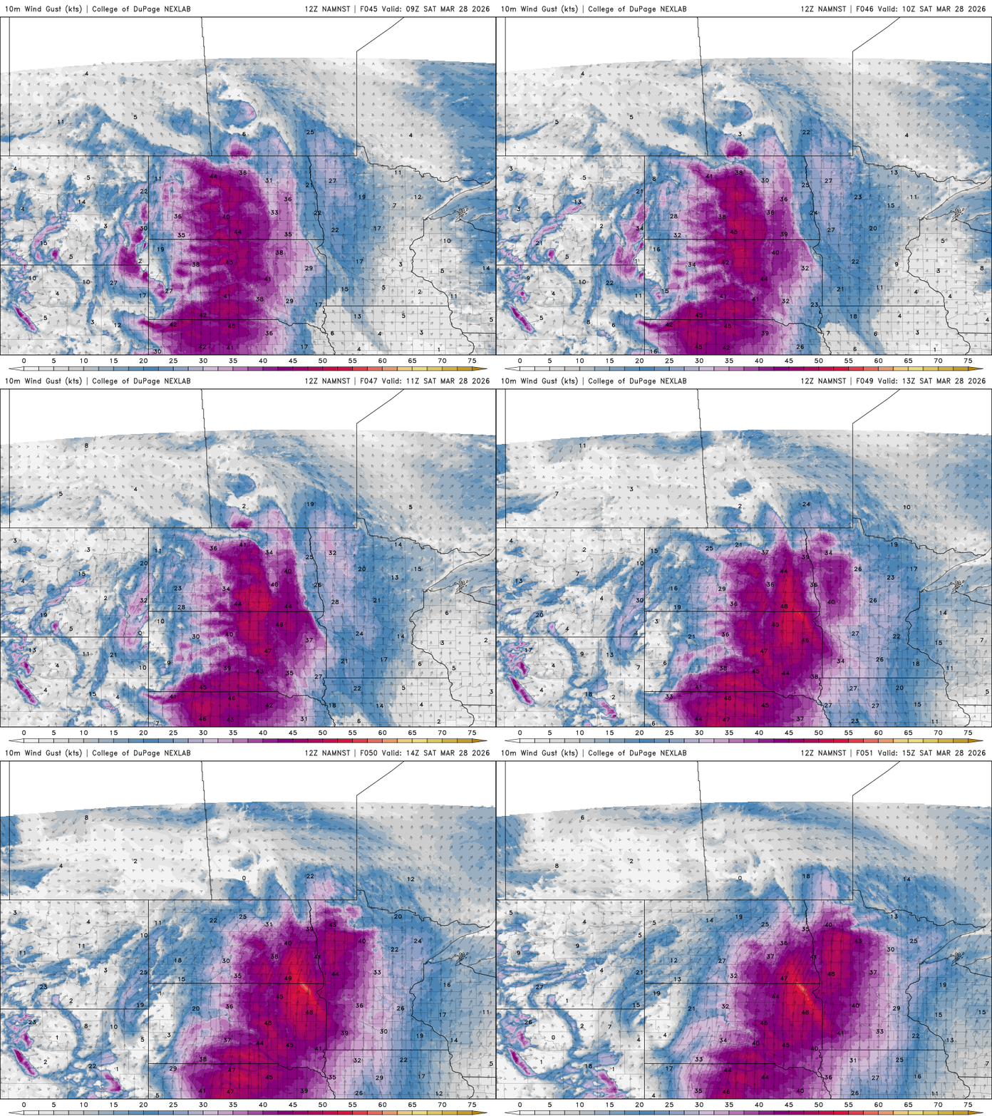
Warm, dry conditions bring elevated fire risk particularly across western and southwestern Minnesota, where relative humidity may drop to around 20 percent.
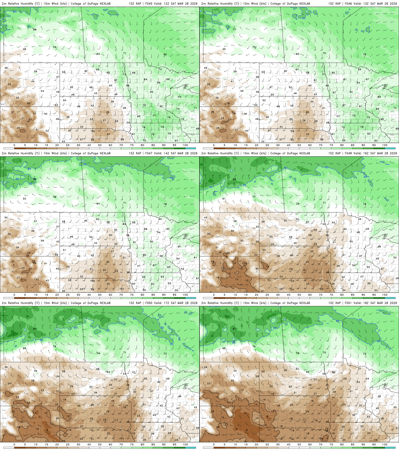
South-southwest winds are expected to increase to 25-35 mph, creating conditions that could prompt the first fire weather headlines of the season.