Chilly Friday, but temperatures warm this weekend
Active weather pattern possible next week
Go Deeper.
Create an account or log in to save stories.
Like this?
Thanks for liking this story! We have added it to a list of your favorite stories.


It’s a chilly and windy Friday, but temperatures warm quickly again for the weekend. Next week’s pattern could yield a couple of storm systems.
Chilly Friday, then a rapid weekend warmup
It’s a cold start to the day Friday. Most locations are waking up to temperatures in the 20s and teens early Friday. We’ll see afternoon highs mostly in the 30s with low 40s far south and just 20s far north.

Look for partly cloudy skies with more clouds north. A few flurries can also be spotted Friday, especially north. In fact, northeastern Minnesota may see snow squalls develop midday into the afternoon. Those are intense, quick bursts of snow showers that are instability-driven.
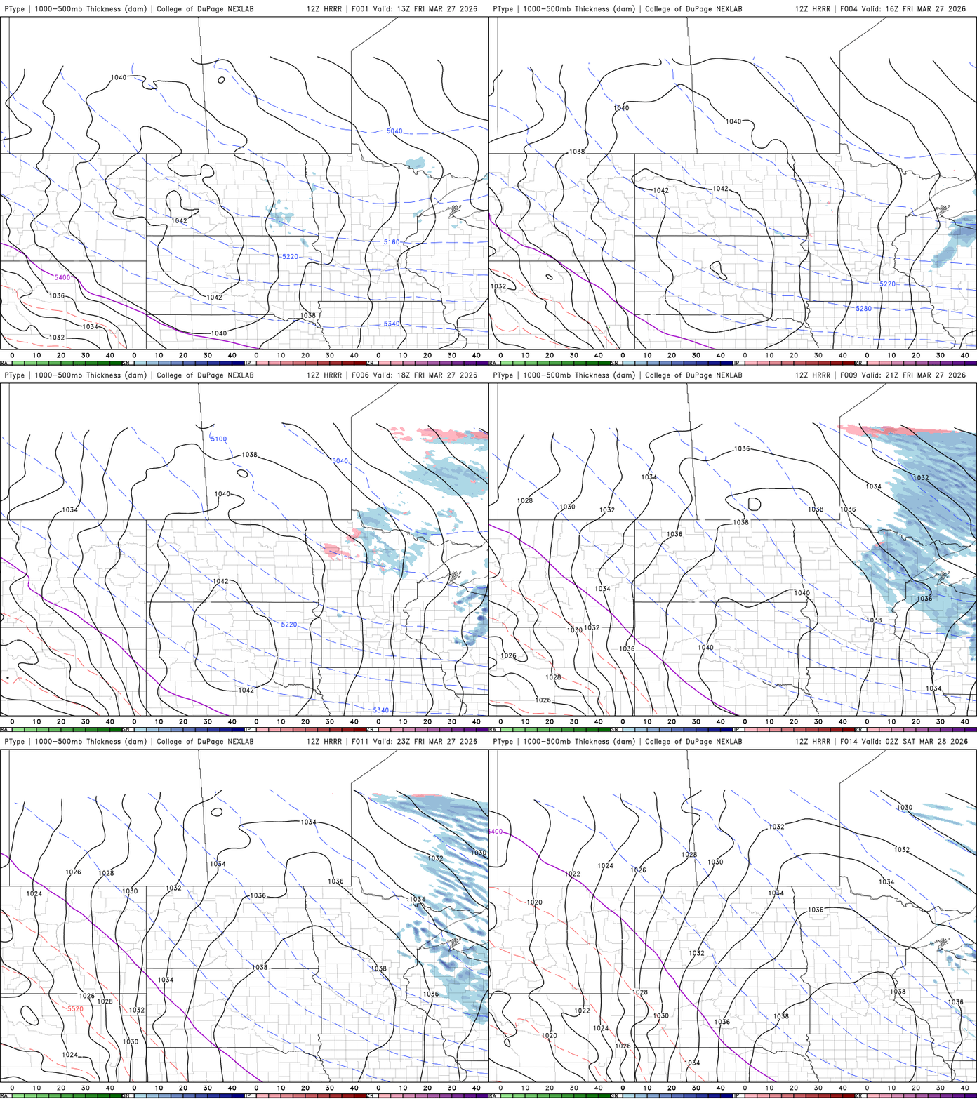
Temperature profiles aloft are ideal for dendritic snow flake growth, i.e., the big snow flakes. Snow showers that develop could produce quick bursts of snow with a quick coating of snowfall.
Turn Up Your Support
MPR News helps you turn down the noise and build shared understanding. Turn up your support for this public resource and keep trusted journalism accessible to all.

It’ll be another cold overnight with lows in the 20s, teens and even some single digits for inland areas of the Arrowhead under mainly clear skies.

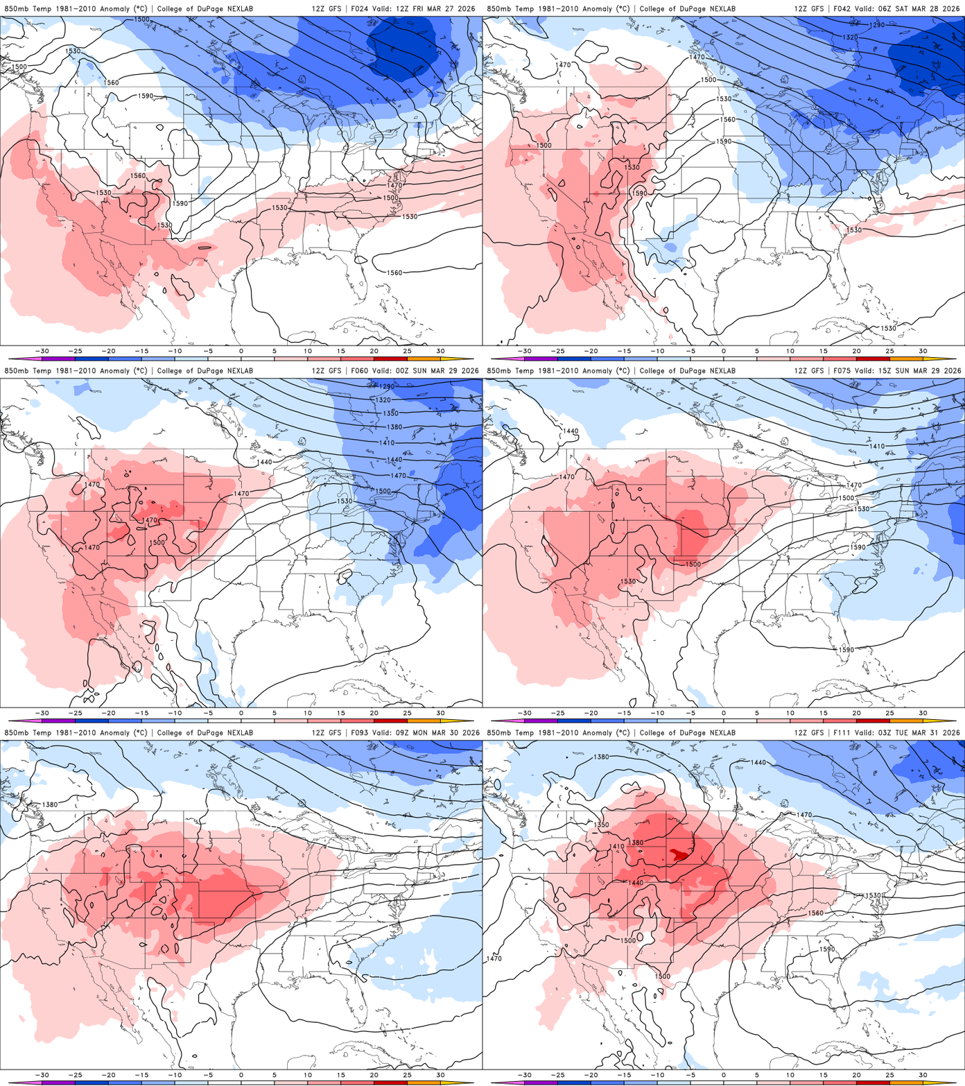
Don’t worry, temperatures warm pretty quickly after a chilly start Saturday morning. Saturday afternoon will bring highs mostly in the 50s with 40s and 30s far north.

We’ll be dealing with windy conditions Friday and Saturday. Friday’s winds will come from the northwest at 10 to 25 mph. On Saturday, they’ll come from the southwest at 15 to 30 mph as warmer air returns.
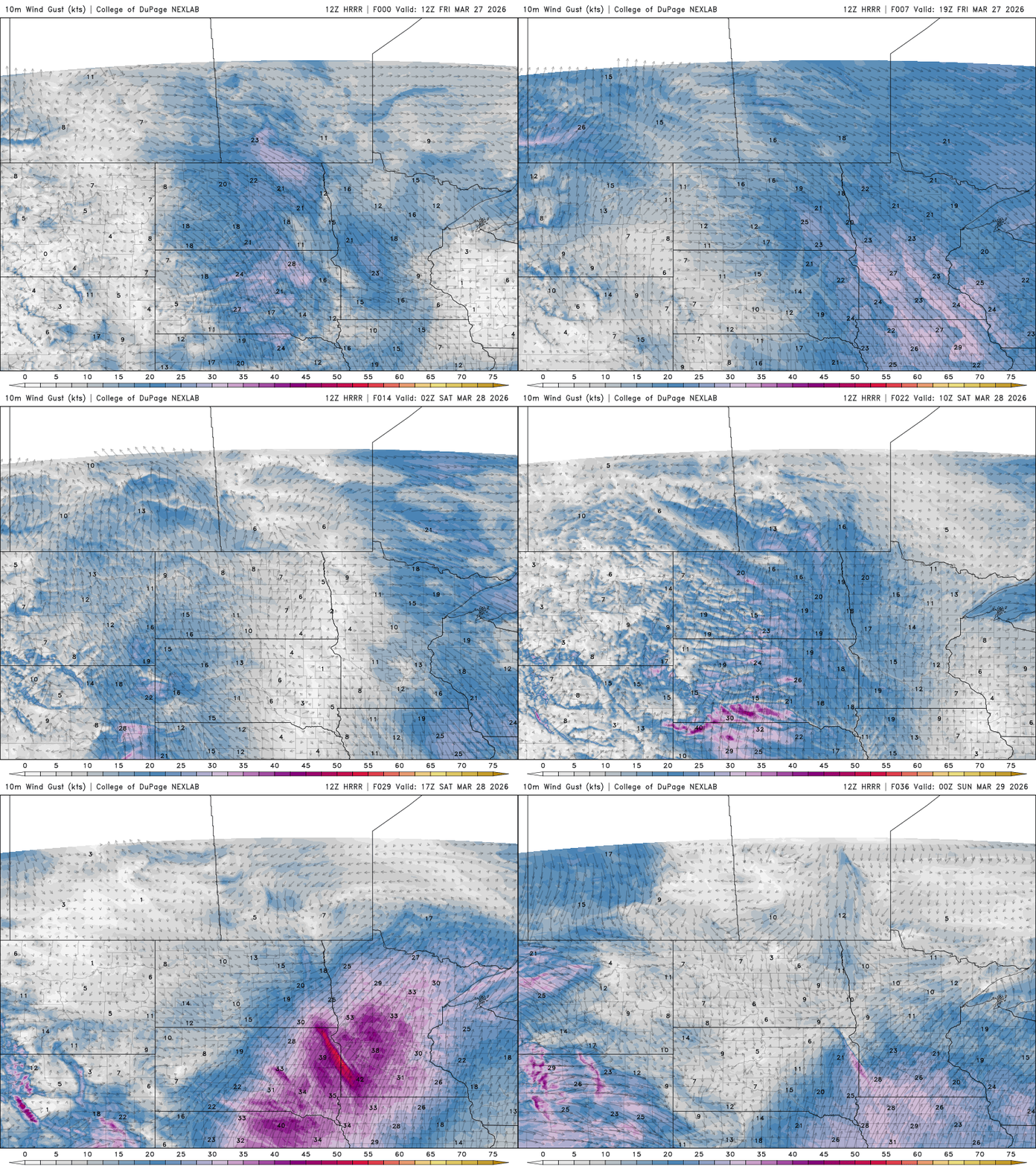
The combination of snow-free ground in central and southern Minnesota with warmer temperatures, high winds and low relative humidity in the afternoon (just 15 to 30 percent Saturday afternoon) could lead to critical fire conditions.
As a result, there’s a fire weather watch for much of central and southern Minnesota Saturday afternoon and evening. Any grass fires that start could spread quickly.

Sunday will be warmer still with 60s for most of central and southern Minnesota and low 70s in the southwestern portion of the state. Those readings are back to 15 to 20 degrees above normal.

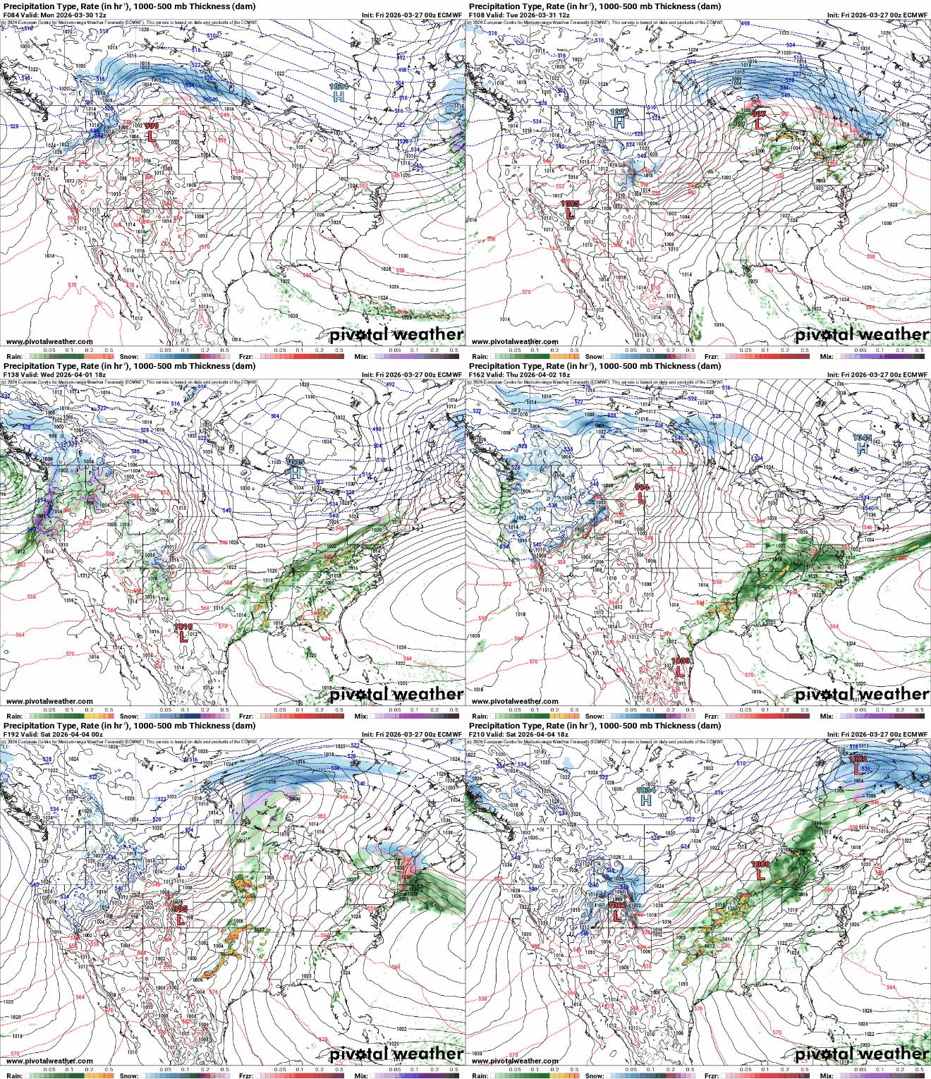
We’ll be watching next week as the pattern shifts to a more active one. There’s the potential for two or three storm systems, depending on phasing and development of the first storm system.
Significant moisture is possible for portions of the region. Most models favor a mix of rain and snow north with mainly rain in southern Minnesota, although some slushy snowfall will be possible in the overnight hours depending on storm system timing.