
Cold night ahead before rapid warmup, critical fire danger Saturday
Red flag warning issued for Saturday

Go Deeper.
Create an account or log in to save stories.
Like this?
Thanks for liking this story! We have added it to a list of your favorite stories.


A cool and quiet night is expected across the Upper Midwest as clear skies and light winds settle in. That brief chill will give way to a rapid warmup Saturday, accompanied by strong winds and very dry air that will create critical fire weather conditions across the region.
Chilly night ahead before weekend warmup
Clear skies and light winds will set the stage for a cold night across the state as Canadian high pressure moves overhead. Some single digits are possible in parts of the Arrowhead region.

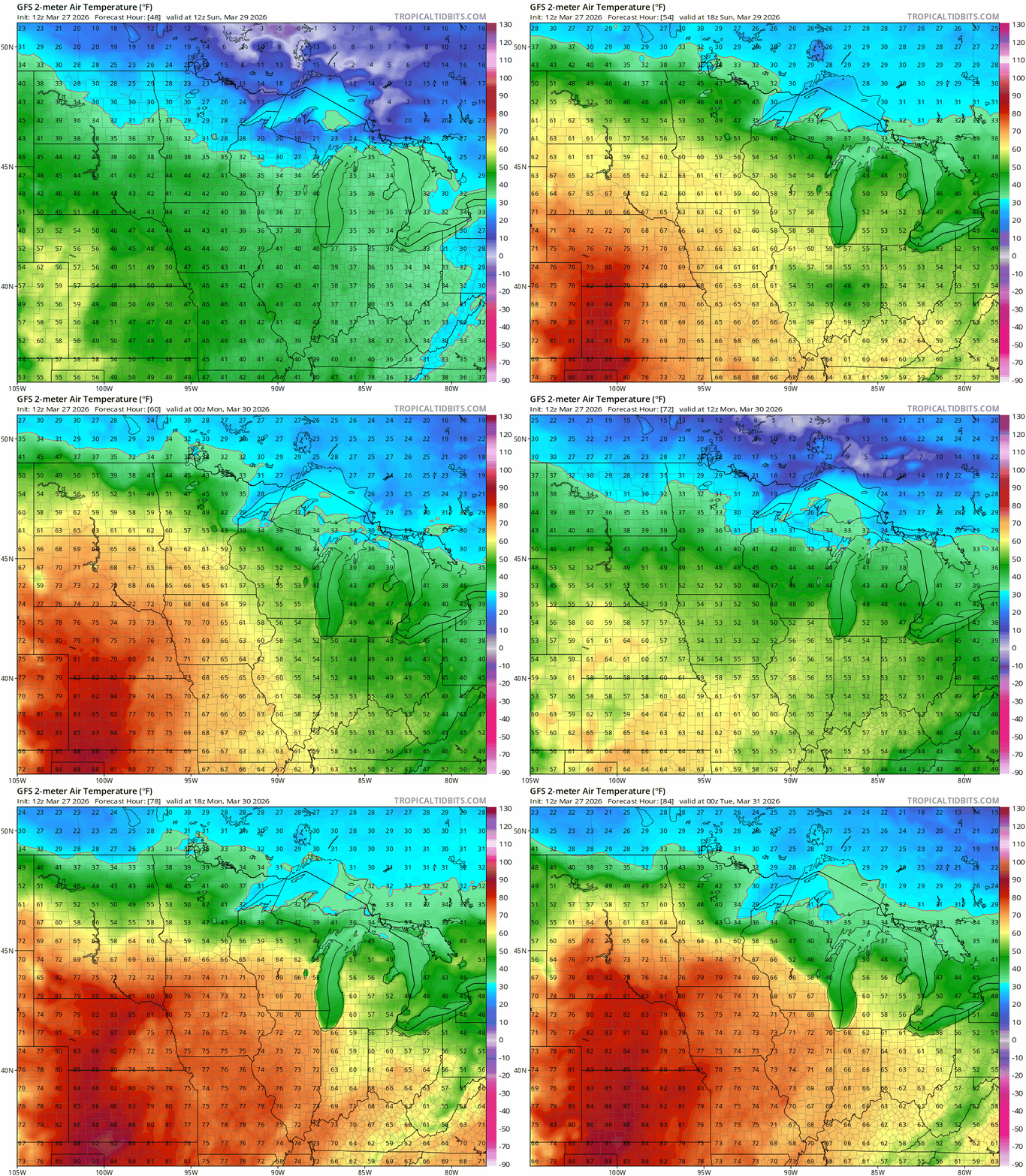
A dramatic warmup is expected Saturday as the high shifts east and strong southerly flow develops. Highs will climb into the 60s across western Minnesota, with mid to upper 50s in central and southeastern areas, while northern Minnesota lags behind in the 40s.

Fire weather concerns Saturday
The warmer temperatures will be accompanied by very dry air and strong winds. Gusts between 35 and 45 mph are expected by late Saturday morning and into the afternoon, while relative humidity values may drop into the 10 percent to 20 percent range.

This combination of warm, breezy and dry conditions will create critical fire weather concerns. A red flag warning will be in effect through the day Saturday. Outdoor burning is strongly discouraged, as fires can spread rapidly out of control.

Unseasonably warm weather will continue into Sunday and Monday, with highs reaching the 70s on Monday. Some areas in southwestern Minnesota could approach 80 degrees — as much as 25 to 30 degrees above normal.
Turn Up Your Support
MPR News helps you turn down the noise and build shared understanding. Turn up your support for this public resource and keep trusted journalism accessible to all.

