
Red flag warning continues before winds diminish overnight
Warmer temperatures for Sunday and Monday

Go Deeper.
Create an account or log in to save stories.
Like this?
Thanks for liking this story! We have added it to a list of your favorite stories.


Critical fire weather conditions will continue into Saturday night as strong winds persist before gradually diminishing overnight. Sunny skies and warmer temperatures will follow for Sunday and Monday.
Red flag warning expires tonight
The red flag warning will expire Saturday evening at 7 p.m., with an extension until 9 p.m. for southwestern Minnesota as conditions begin to improve.

Strong southerly winds will diminish overnight Saturday, while increasing dew points will help eliminate the fire weather risk for Sunday.
Turn Up Your Support
MPR News helps you turn down the noise and build shared understanding. Turn up your support for this public resource and keep trusted journalism accessible to all.
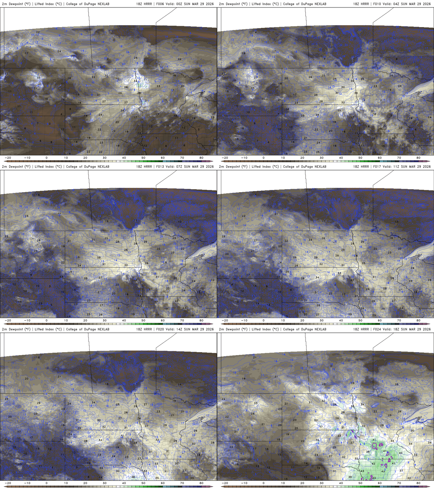
Temperatures Saturday night will fall into the upper teens to low 20s across northern Minnesota, with 30s in central areas and mid to upper 30s in southern Minnesota.

Highs are expected to reach the mid-60s to lower 70s on Sunday, with even warmer conditions on Monday. Southern Minnesota could approach 80 degrees, while areas farther north remain cooler in the 50s.

Attention then turns to Monday evening and overnight, when a developing low-pressure system along a frontal boundary will bring increasing chances for thunderstorms, mainly across southeastern Minnesota.
Increasing moisture and instability will support storm development, with a threat for large hail. The Storm Prediction Center has outlined a marginal risk (level 1 of 5) for severe weather across southeastern Minnesota.


