
Warm surge ahead of slow-moving front
Precipitation chances increase this week

Go Deeper.
Create an account or log in to save stories.
Like this?
Thanks for liking this story! We have added it to a list of your favorite stories.


Spring weather settles in Sunday into Monday with lighter winds and warming temperatures, but a nearly stalled front will bring increasing chances for precipitation and possible thunderstorms by Monday.
Temperatures surge in the south, cooler north
A beautiful late March day is expected across the state, with temperatures running 15-25 degrees above normal. Lighter winds will accompany highs ranging from the 40s and 50s in the north to the mild 60s and 70s in the south.

This warming trend continues into Monday, but with a catch. A slow-moving frontal boundary is sagging south across northern Minnesota on Sunday and will continue drifting south into Monday.
South of the front, temperatures will climb well into the 70s, with some areas in southern Minnesota nearing 80 degrees. Farther north, cooler air will hold in place, keeping highs in the 40s to low 50s across northern and parts of central Minnesota with more cloud cover.
Turn Up Your Support
MPR News helps you turn down the noise and build shared understanding. Turn up your support for this public resource and keep trusted journalism accessible to all.

An area of low pressure will develop in the Dakotas and track east Monday, bringing the next chance for precipitation. Early Monday, northwestern Minnesota could see a wintry mix of light snow and freezing rain, with light snow and a light glaze of ice developing across the Northland.
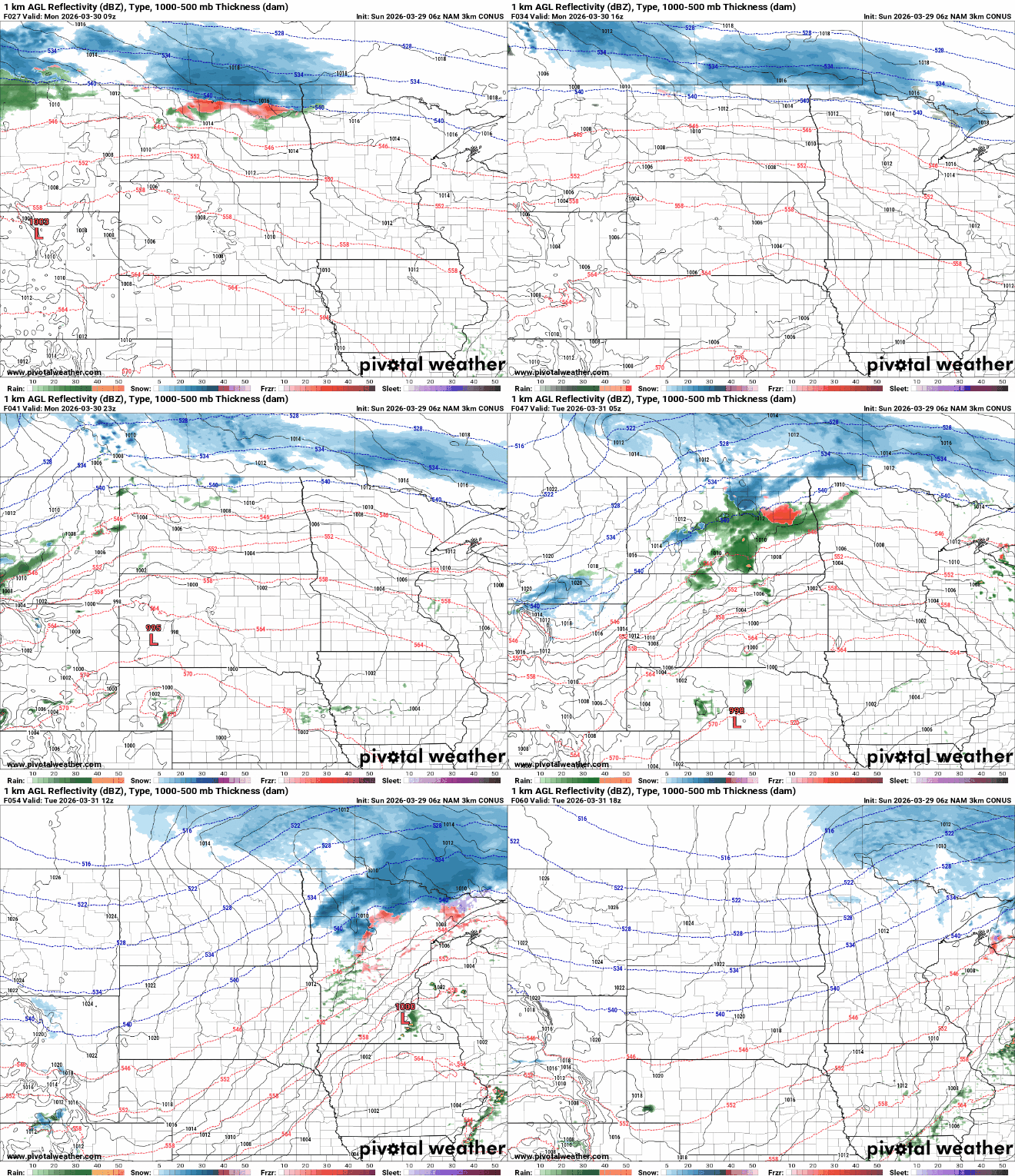
The greatest chance for light snow will be along the Canadian border, with totals ranging from a half inch to several inches. Farther south into north-central Minnesota, only a dusting is expected, while rain is possible farther south.

This setup is expected to bring isolated thunderstorms Monday evening into the overnight hours, mainly across southern Minnesota and central Wisconsin. The Storm Prediction Center has issued a marginal risk for hail from southeastern Minnesota into central Wisconsin.

Behind the front, cooler and more seasonable temperatures return for Tuesday and are expected to hold steady through much of the week.

