
Warm Monday with an active week of weather ahead
A few chances for rain and snow this week
Go Deeper.
Create an account or log in to save stories.
Like this?
Thanks for liking this story! We have added it to a list of your favorite stories.


The week starts warm Monday but then things get active. We’re watching three different storm systems that will bring chances of rain, thunder and snow this week.
An active week of weather after one more warm day Monday
We’ll squeeze out one more warm day Monday before temperatures cool off and return to more seasonable readings for the remainder of the week with some active weather ahead.
There’ll be a substantial temperature contrast with just 30s in far northern Minnesota while the southwestern corner of the state reaches 80 degrees.

Far northern Minnesota will already see scattered snow showers Monday and there will be more overnight as our first system of the week develops.
Turn Up Your Support
MPR News helps you turn down the noise and build shared understanding. Turn up your support for this public resource and keep trusted journalism accessible to all.
There will also be the potential for some light freezing precipitation in northeastern Minnesota overnight into early Tuesday while southern Minnesota sees some spotty thunderstorms.
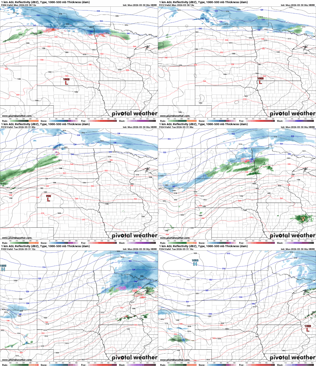
There’s even a marginal severe (level 1 of 5) risk for southeastern Minnesota with the primary threat being some hail.
Far northern Minnesota could see up to an inch or two of slushy snowfall accumulation Monday into Tuesday morning.

Overnight temperatures will fall below freezing for the northern half of Minnesota Monday night while southern Minnesota remains considerably milder, mostly in the 30s and 40s.

There’s also the potential for a light glaze of ice, generally under one-tenth of an inch, in parts of northeastern Minnesota and the North Shore as well late Monday night into early Tuesday.

Temperatures on Tuesday will be cooler, mostly in the 30s north to 50s in southern Minnesota. Those readings are actually closer to normal highs for the end of March.

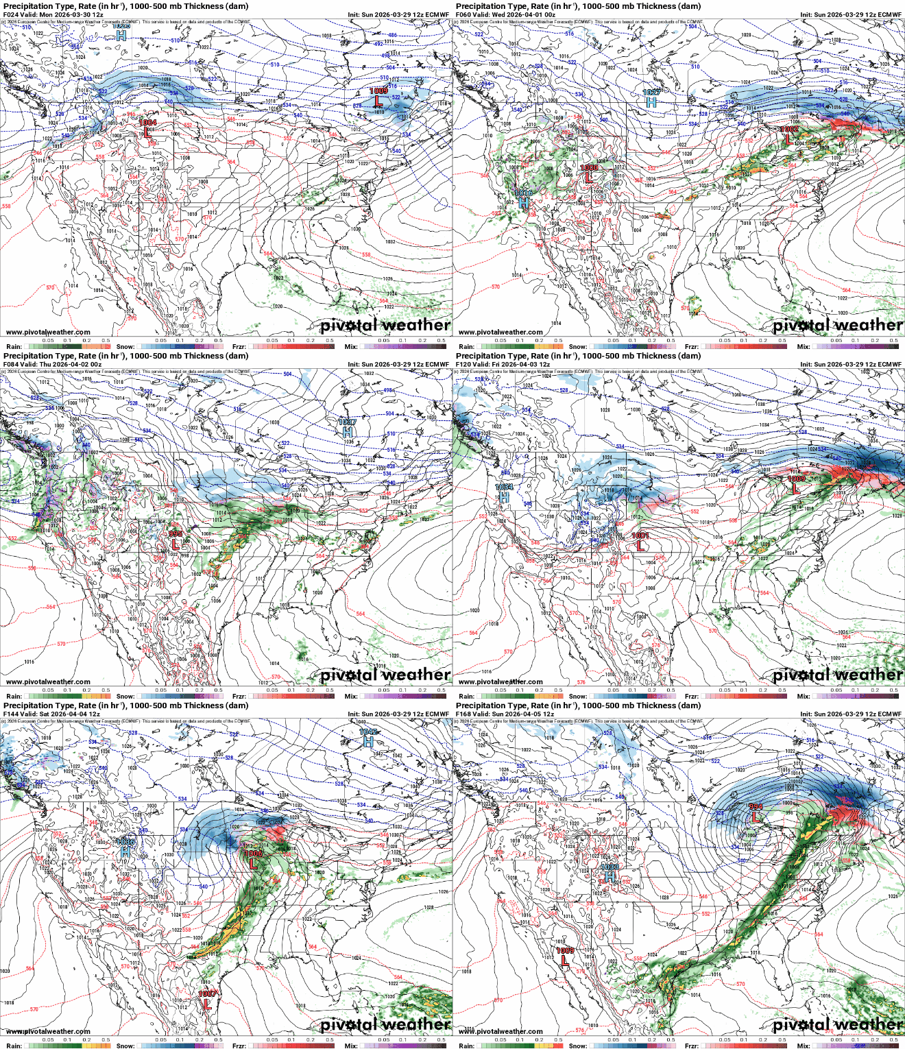
Another system will develop Wednesday into Thursday, bringing another possibility of rain and snow to Minnesota followed by yet another storm system Friday into Saturday. There will also be some ice accumulation somewhere in central and southern Minnesota.
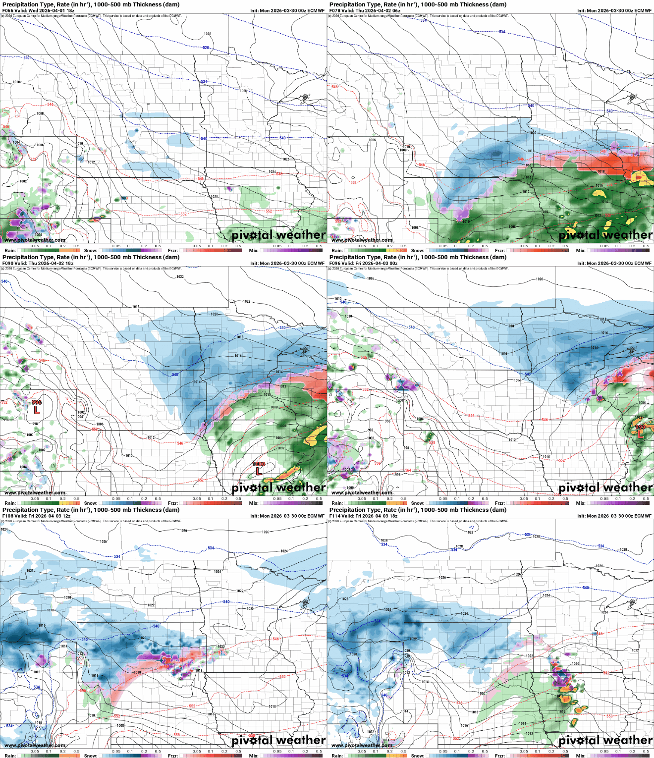
Precipitation amounts and types will be dependent upon very specific storm tracks that have yet to be worked out in the forecast models and could still change. As of now, I would plan on some snow and ice in addition to rain.

Ice accumulation could become significant in some areas Wednesday night. The best chance for ice will be in the overnight and early morning hours when temperatures are colder and below freezing.

The system that moves in Friday into Saturday will likely deliver another wintry mix of rain, snow and some ice. The pattern finally settles down Sunday into next week.

