
Active weather continues with 2 more wintry systems ahead
Much of the region will see rain, ice and snow

Go Deeper.
Create an account or log in to save stories.
Like this?
Thanks for liking this story! We have added it to a list of your favorite stories.


Active weather continues after system No. 1 exits this morning. More rain, ice and snow are possible late Wednesday into Thursday and Friday into Saturday.
First system exits; 2 more wintry systems to go
Northeastern Minnesota and especially the Arrowhead region will continue to see snow showers Tuesday morning before becoming more scattered into the afternoon. There will also be some patchy freezing drizzle possible.
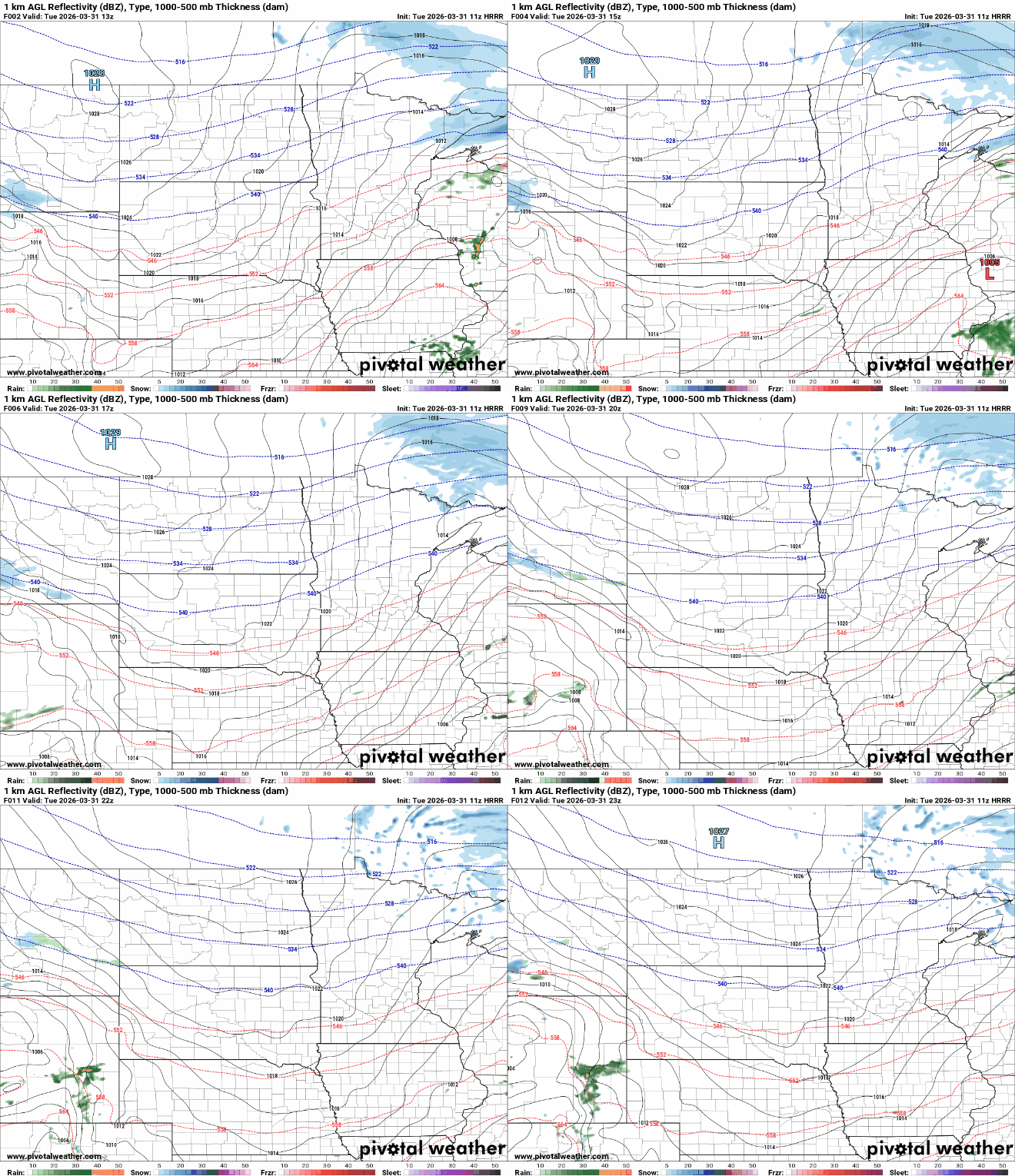
Winter weather advisories continue for portions of northeast Minnesota through much of Tuesday for the wintry precipitation.

Up to 1 to 2 inches of snow will fall in particularly Lake and Cook counties in the Arrowhead with lighter amounts on the Iron Range.
Turn Up Your Support
MPR News helps you turn down the noise and build shared understanding. Turn up your support for this public resource and keep trusted journalism accessible to all.

Temperatures will be much more seasonable Tuesday with highs in the 50s south to 30s north. Normal highs for this time of year range from the low 40s north to the low 50s for far southern Minnesota. It will also become windy with northwest winds 10 to 25 mph.

We’ll get about a 24-hour break of dry weather from midday Tuesday through midday Wednesday before the second storm system of the week moves into the region.
A wintry mix of rain, freezing rain and snow will develop Wednesday evening into the overnight and continue into Thursday and Thursday night. We’ll be most likely to see a change over to freezing precipitation and snow during the nighttime hours with rain showers during the day mostly in southern Minnesota.
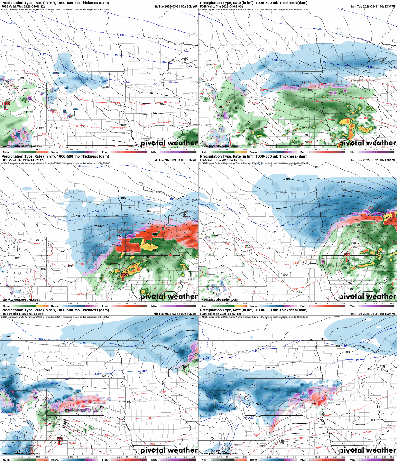
Of concern will be the potential for ice accumulation Wednesday night into Thursday morning in addition to snowfall potential.

Even in the Twin Cities we can expect all types of wintry precipitation. Snowfall will also be likely for much of Minnesota, except perhaps far southeastern Minnesota into Thursday night.

We’ll then get about another 24-hour dry break from Thursday evening until later Friday when the third storm system of the week moves in. Once again, all types of precipitation look likely into Saturday.
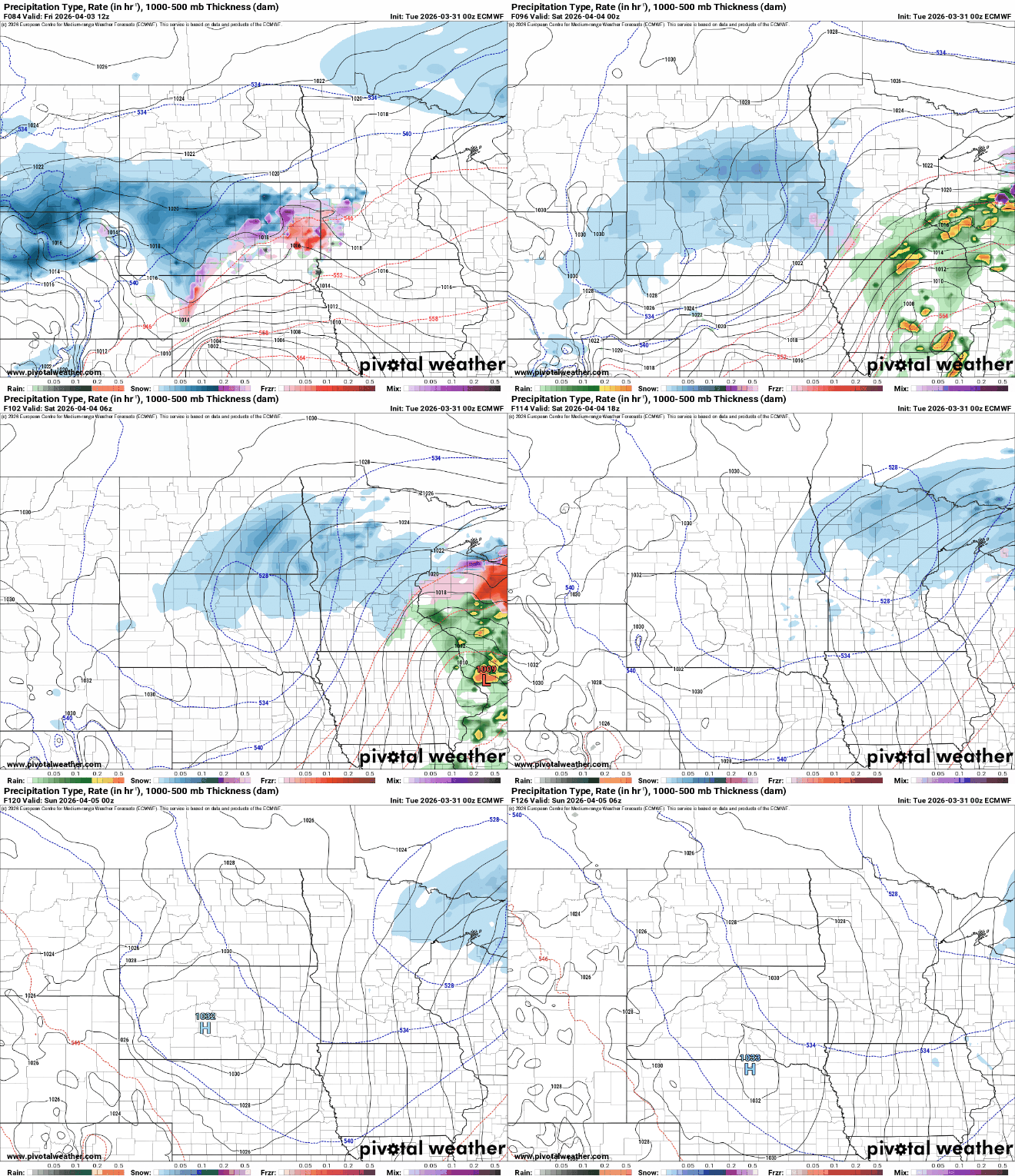
That system looks to similarly bring the bulk of snowfall to mainly central and northern Minnesota with a wintry mix of rain, snow and potentially a little ice for the Twin Cities and southern Minnesota into Saturday.

If you’re really looking for spring, next week does look quieter and warmer. It’s still early April in Minnesota!

