
Rain and snow showers fade; clipper system late Easter Sunday
Cool start to the work week, with mid-week warmup

Go Deeper.
Create an account or log in to save stories.
Like this?
Thanks for liking this story! We have added it to a list of your favorite stories.


After a day of heavy snow and gusty winds, northern Minnesota is finally starting to see some relief as the latest system winds down Saturday night. Easter Sunday will bring a quick-moving clipper, offering a few peeks of sunshine and calmer conditions across the region.
Curtain call for the latest system
Our latest spring storm will be taking its final bow into Saturday night. Wrap-around snow showers will gradually taper off from west to east, with lingering flakes possible into the overnight hours across the tip of the Arrowhead, including Cook and Lake counties. I’d love to say there won’t be an encore—but this is April in Minnesota, and more snow is always a possibility.
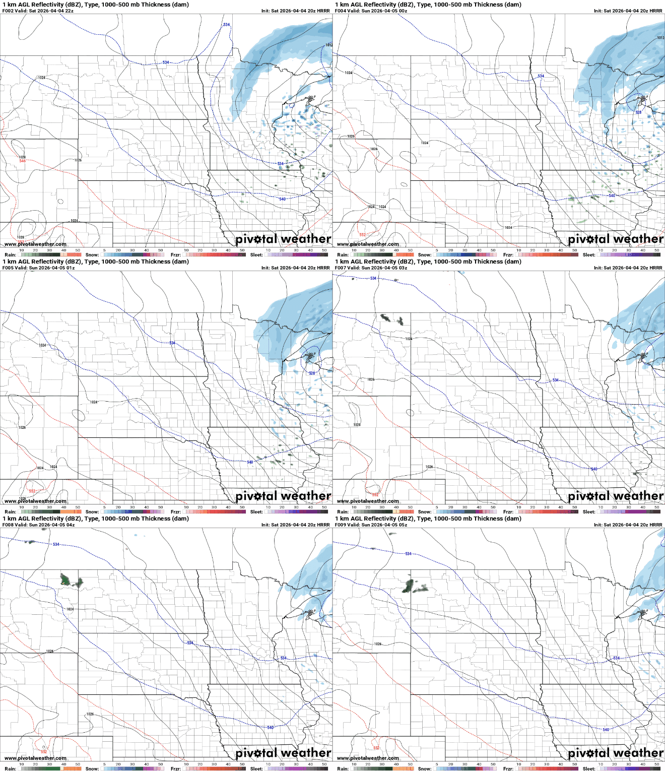
Winter storm warnings and winter weather advisories remain in effect across portions of northern Minnesota. Areas under the warning could pick up an additional 1 to 3 inches of snow, while locations in the advisory may see another inch or two before the system winds down.
Turn Up Your Support
MPR News helps you turn down the noise and build shared understanding. Turn up your support for this public resource and keep trusted journalism accessible to all.

Areas in northwestern Minnesota picked up around a foot of heavy, wet snow, with Fertile leading the way at an impressive 13 inches.

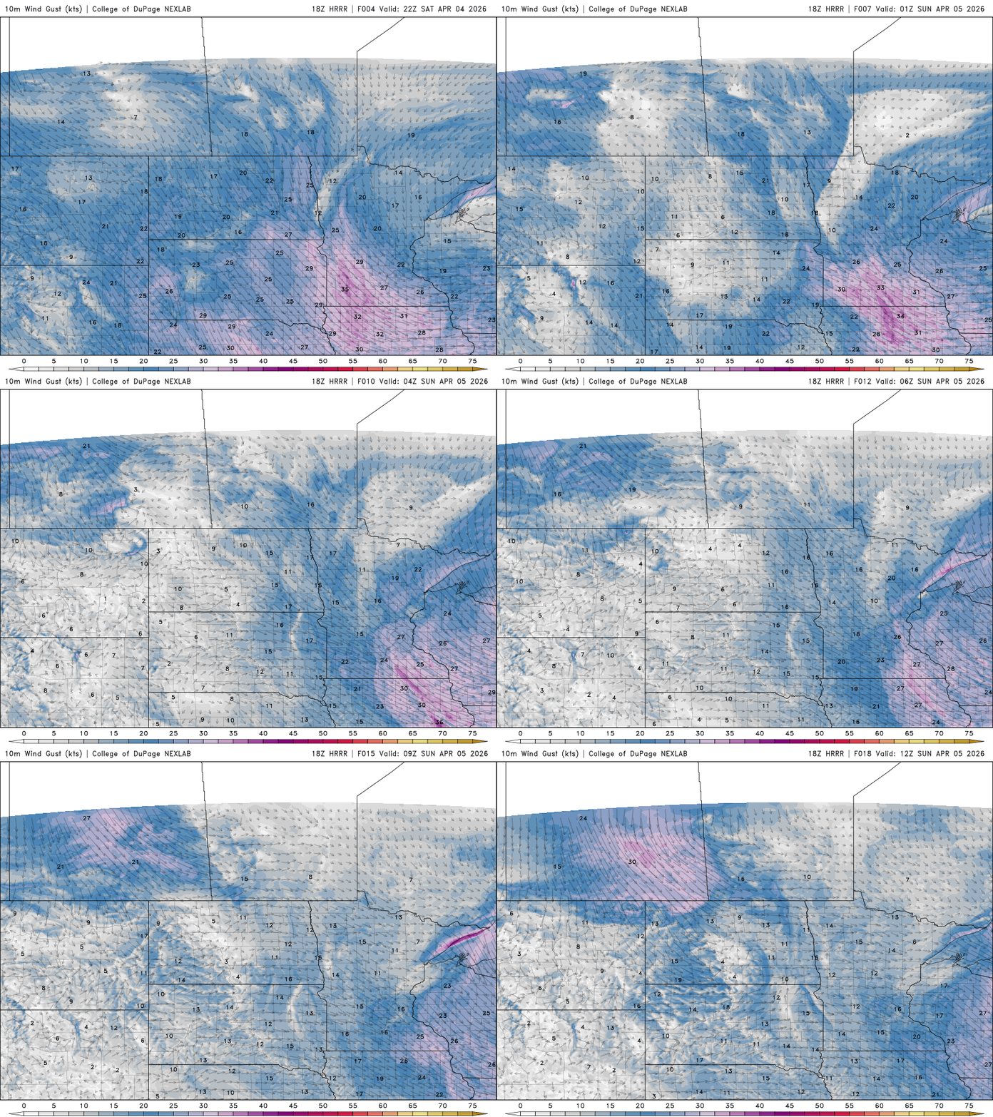
Blustery northwest winds will ease into Saturday evening, setting the stage for a much calmer day on Easter Sunday.
Quick clipper for Easter Sunday
Looking ahead to Easter Sunday, another fast-moving disturbance will sweep southeast across the Upper Midwest during the afternoon. This system will bring scattered rain showers to the south and light snow showers to the north, but they should be brief due to its quick movement.
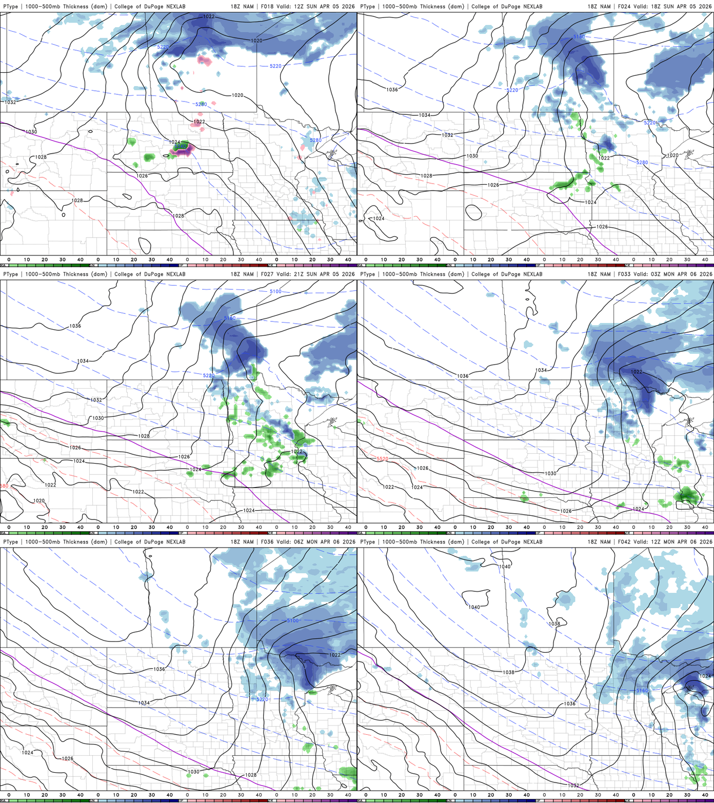
Dry conditions are expected Sunday, with some breaks in the cloud cover. Highs will warm into the 30s and 40s across most areas, with southern sections reaching the upper 40s to low 50s.

Behind the system, high pressure builds Sunday night into Monday, bringing a sharp return of colder air. Monday is expected to be the coldest day of the stretch, with highs struggling to reach the 20s and 30s. Overnight Monday night, lows will drop into the single digits and teens across much of the region.

Wednesday stands out as the warmest day of the week, with southerly winds drawing in milder air. Highs are expected to climb back into the 50s and 60s across the region.

