
Another cool day Tuesday. Warmer temperatures and showers for Wednesday
A stormier setup develops later this weekend

Go Deeper.
Create an account or log in to save stories.
Like this?
Thanks for liking this story! We have added it to a list of your favorite stories.


It’ll be another cooler-than-normal day Tuesday. Our next disturbance brings a few scattered rain showers Tuesday night and Wednesday with snow showers north.
Warmer temperatures after Tuesday with the next chance of precipitation Tuesday night into Wednesday
It’s a cold start with winterlike temperatures early Tuesday morning. Afternoon highs will again be below normal, mostly in the 40s and 30s, with sunshine through scattered clouds.

Our next disturbance will develop a few scattered rain showers across southern Minnesota Tuesday night and Wednesday with temperatures cold enough to produce snow showers north.
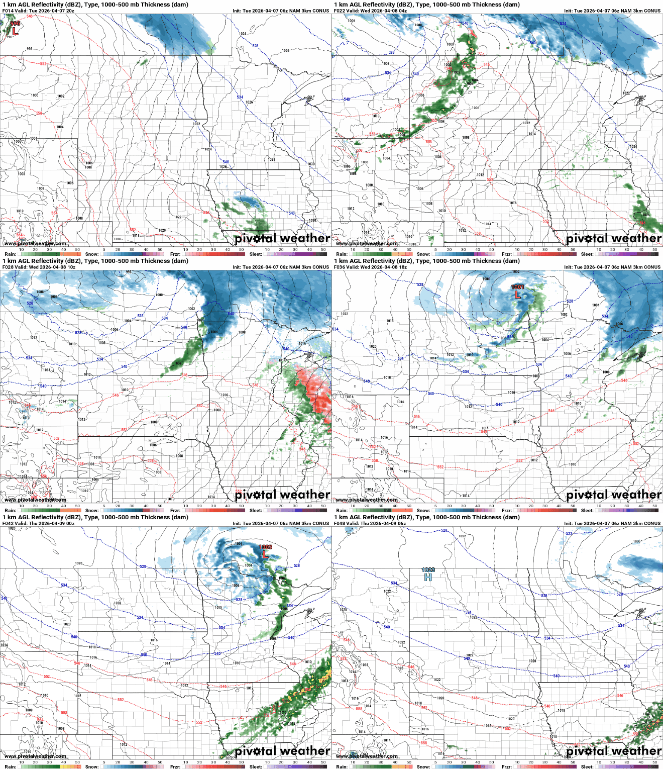
Rainfall and snowfall look pretty modest, however, with perhaps up to 1 inch of snow in far northern Minnesota.
Turn Up Your Support
MPR News helps you turn down the noise and build shared understanding. Turn up your support for this public resource and keep trusted journalism accessible to all.

We’ll also need to watch for a potential light, icy glaze in northeast Minnesota late Tuesday night into early Wednesday morning.

It’ll be warmer Wednesday with some breaks of sunshine in the clouds. Afternoon highs will reach the 60s in southern Minnesota, but there will be a substantial temperature contrast with northern Minnesota behind an advancing cold front.

More seasonable temperatures in the 50s and 40s follow behind the cold front for Thursday and Friday with partly cloudy skies.
A potentially stormier setup develops later in the weekend and early next week as a slow-moving upper low pushes higher warmer temperatures and higher dew points our direction.

Late Sunday we’ll see dew points in the 50s and even low 60s — our highest dew points since last fall and more than sufficient moisture to produce thunderstorms.

This could produce some widespread thunderstorm chances by Sunday and Monday. A widespread soaking is looking increasingly likely for the Sunday into Monday period.


