
Cooler Thursday with spotty showers possible
Sunshine returns Friday, then rain builds in for the weekend

Go Deeper.
Create an account or log in to save stories.
Like this?
Thanks for liking this story! We have added it to a list of your favorite stories.


Temperatures dip slightly below normal Thursday as a passing disturbance brings isolated showers. Friday will bring sunshine and calm winds, followed by a warm, stormy weekend.
Cooler Thursday with isolated showers possible
Cooler air settling in behind Wednesday’s cold front will bring temperatures slightly below seasonal averages across Minnesota on Thursday.
In the Twin Cities, normal temperatures for early April are around 54 degrees for a high and 35 for a low. Thursday’s readings are expected to fall short of those marks. High temperatures will be limited to the upper 30s and 40s in northern Minnesota, while southeastern areas may see highs reach into the low 50s.
Turn Up Your Support
MPR News helps you turn down the noise and build shared understanding. Turn up your support for this public resource and keep trusted journalism accessible to all.

A quick-moving disturbance could trigger scattered showers later Thursday afternoon and into the evening. Isolated rain showers are expected to develop by midafternoon Thursday in western and southwestern Minnesota, then track eastward toward the Twin Cities by late afternoon.
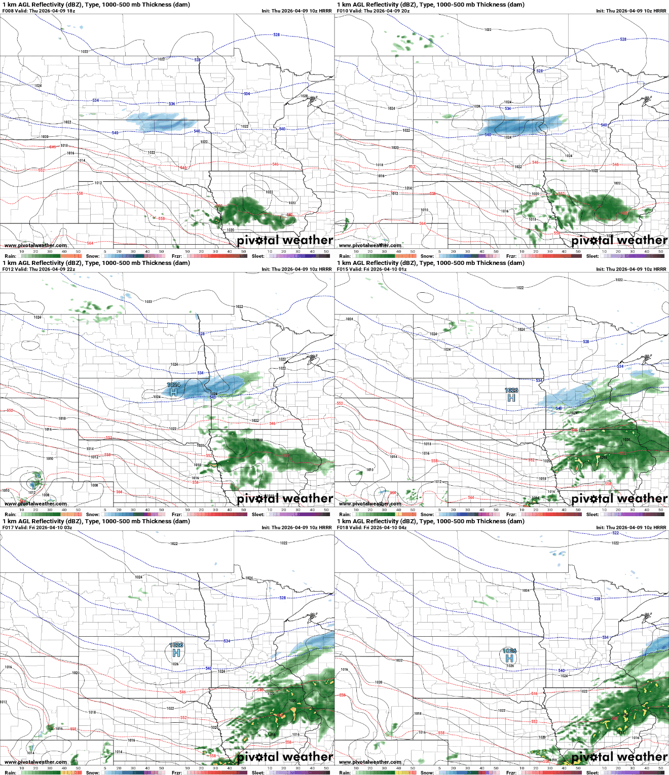
Friday will bring sunny skies and light winds as high pressure briefly settles over the region. Temperatures will warm into the mid-50s in the Twin Cities, with mid to upper 40s across northern Minnesota.

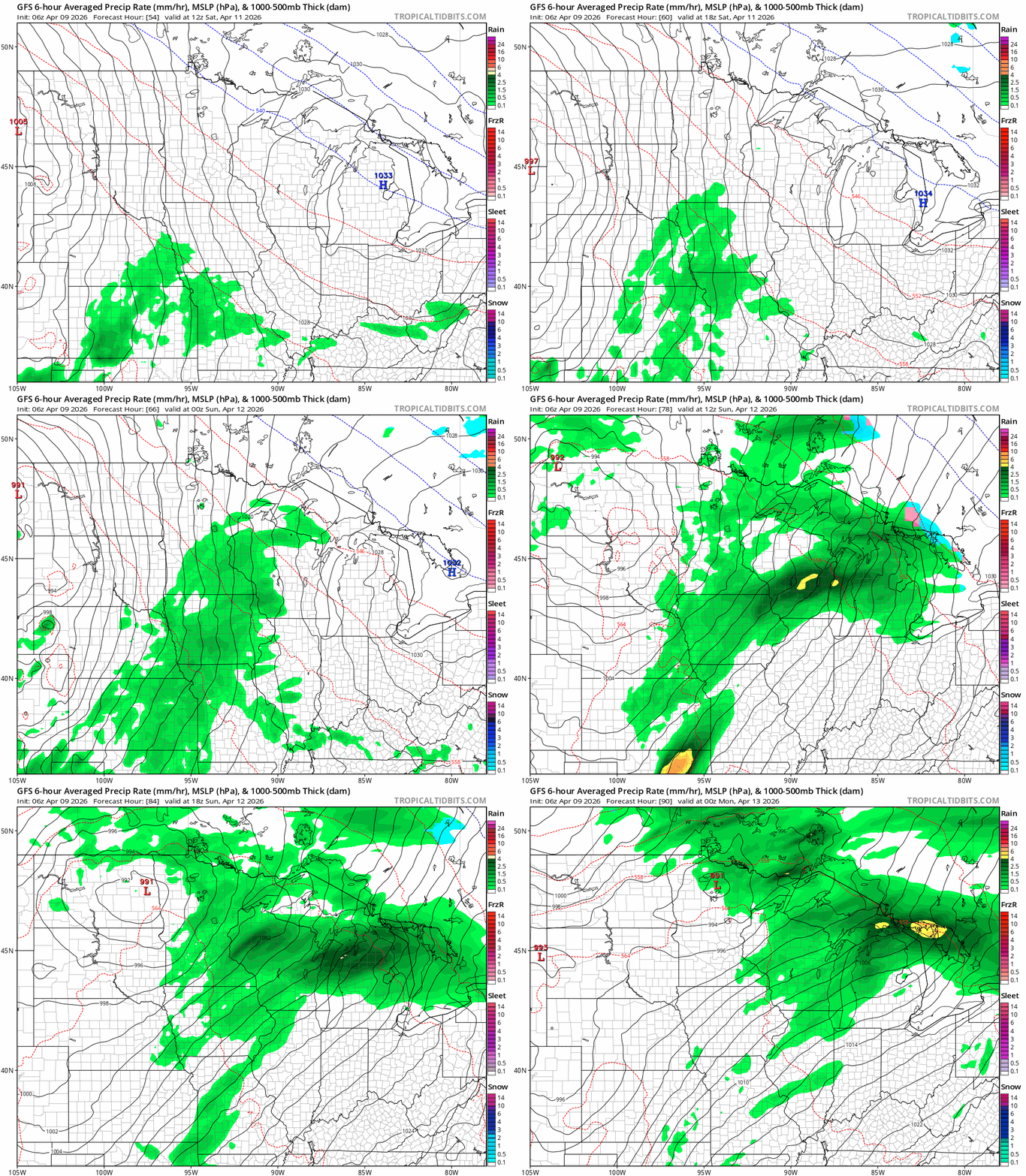
A more active weather pattern is expected to develop over the weekend. Early Saturday looks dry, but showers and thunderstorms will move in by late afternoon and become heavy at times through Saturday evening and overnight. Periods of heavy rain may continue into early Sunday.
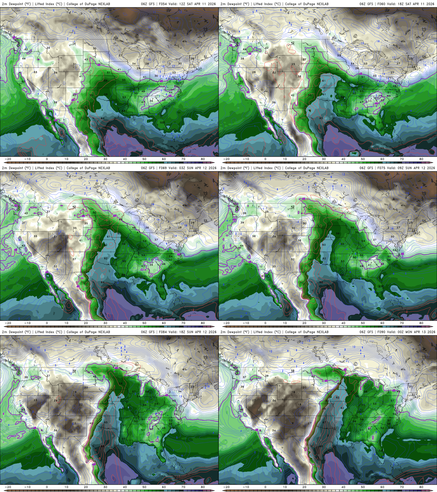
Something not seen since early fall will return this weekend as higher dew points stream north from the Gulf. Southern Minnesota could see dew point readings climb into the low 60s, bringing a noticeably more humid feel to the air.
Dent in drought monitor
Our latest update to the drought monitor shows a notable improvement from last week. Just over 58 percent of the state is now experiencing drought, down from 67 percent previously. The biggest changes came in northwestern Minnesota, where two recent snow systems dropped more than a foot of snow.
However, two areas remain in severe drought: One near Carlton and Pine counties in the northeast, and another in the southwestern corner near Rock and Nobles counties.


