
High pressure brings sunshine Friday, but a stormy stretch ahead
Strong storms are possible Monday afternoon and evening
Go Deeper.
Create an account or log in to save stories.
Like this?
Thanks for liking this story! We have added it to a list of your favorite stories.


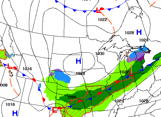
High pressure will bring sunshine for most Friday. Warmer and more humid air will start moving north Saturday, increasing shower chances and creating stormy weather by Monday.
Lots of sun Friday. But as warmer, more-humid air moves in, storm chances increase
We have a nice, sun-filled Friday thanks to high pressure. Temperatures will be near normal, mostly in the 50s and 40s. Northeast Minnesota will see a few scattered clouds.

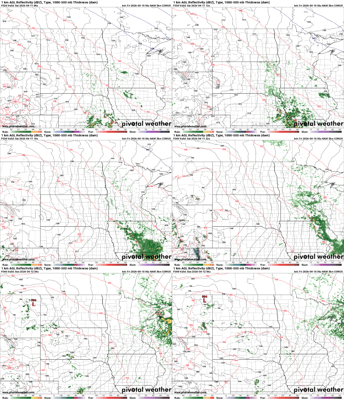
Temperatures will be similar Saturday, but with increased cloud cover as warmer and more-humid air starts to move north from the Gulf. This will increase the chance of some scattered showers by midday Saturday and Saturday afternoon.
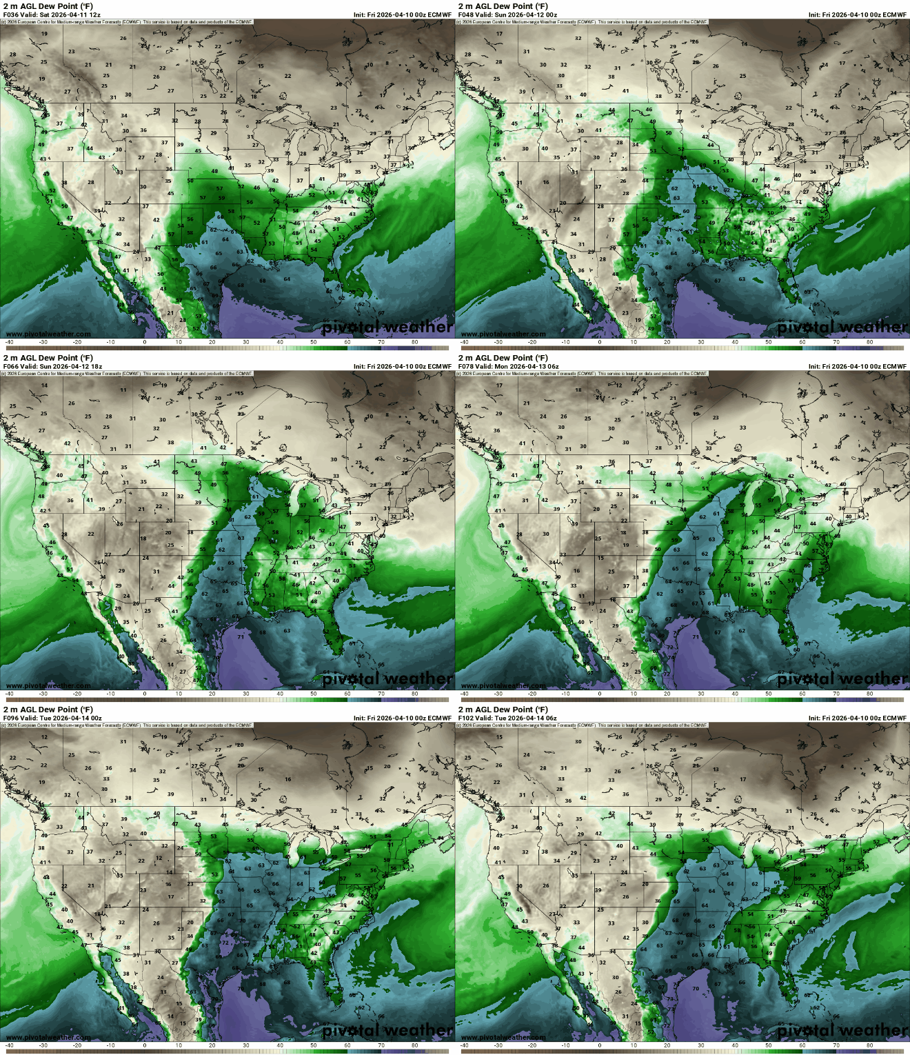
Considerably warmer air moves in for Sunday and Monday. Highs will reach well into the 70s with even some low 80s in southwest Minnesota by Sunday afternoon.
Turn Up Your Support
MPR News helps you turn down the noise and build shared understanding. Turn up your support for this public resource and keep trusted journalism accessible to all.

We’ll also see our first 60-degree dew points by late Sunday in portions of southern Minnesota — our highest dew points of spring so far.
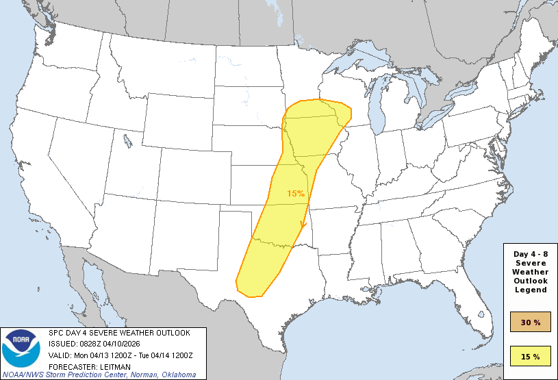
A series of disturbances will create scattered showers and storms Sunday mainly for northern Minnesota with spotty activity south. More storms will be possible late Monday as another disturbance takes advantage of a stalled frontal boundary.
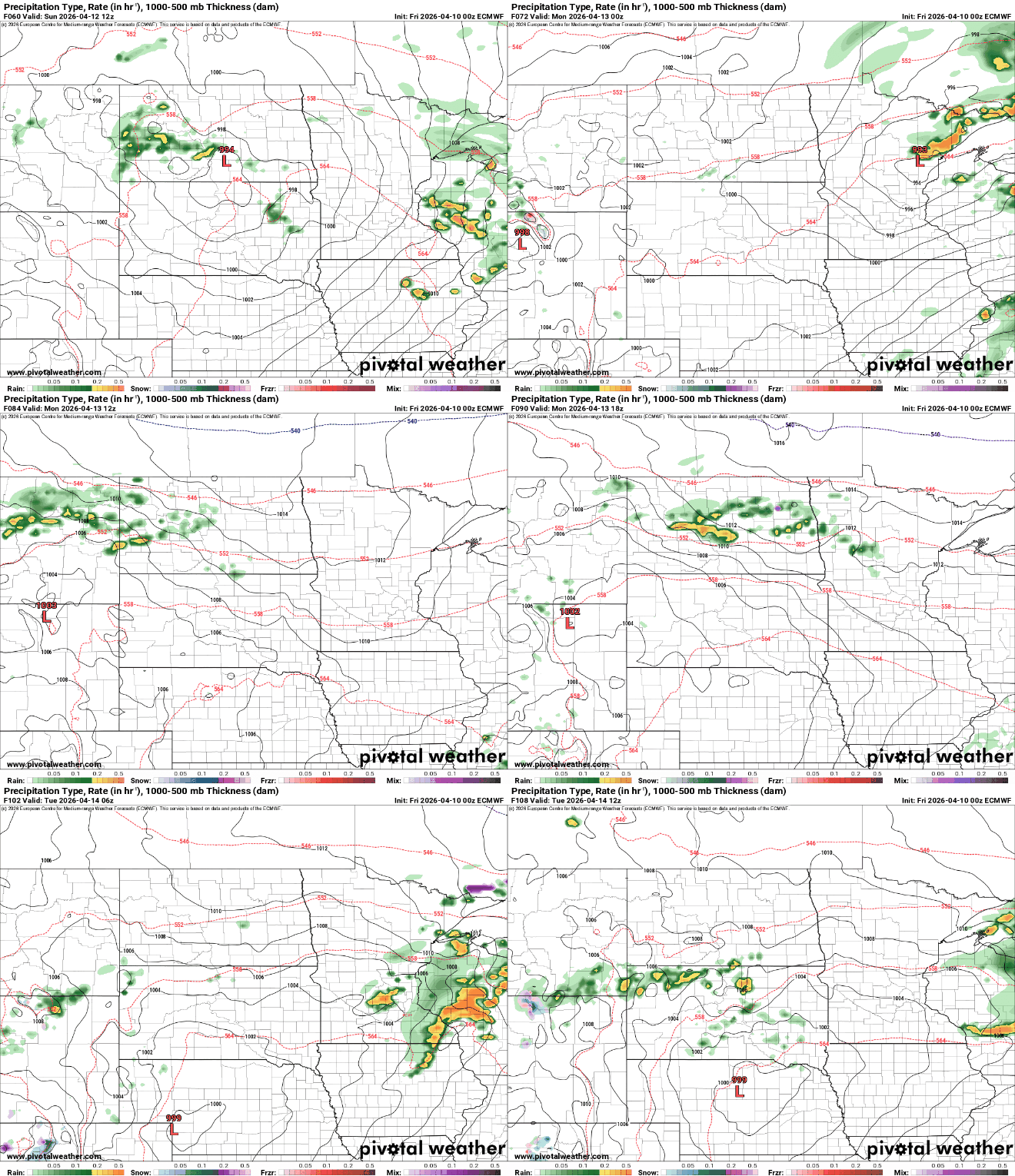
We’ll have to watch for potential severe weather in southern Minnesota Sunday and Monday. NOAA’s Storm Prediction Center is already monitoring the southern half of Minnesota, western Wisconsin and down to Texas for strong to severe storms.

We’ll have more scattered showers and thunderstorms Tuesday and Wednesday as a slow-moving area of low pressure continues to make things unsettled. Total precipitation could be significant — up to 1 to 3 inches for parts of eastern Minnesota into Wisconsin.

Temperatures will be cooler gradually for midweek next week also.

