
Temperatures and dew points climb overnight as moisture surges north
Summery feel Sunday with 70s and 80s
Go Deeper.
Create an account or log in to save stories.
Like this?
Thanks for liking this story! We have added it to a list of your favorite stories.


After a cool, damp start to the weekend, a warmup arrives Sunday with highs reaching the 70s and 80s. Dew points will rise into the 50s and low 60s Saturday night, bringing more humid conditions.
Rising overnight temperatures and dew points
Scattered showers and a few rumbles of thunder will continue moving east Saturday night. A surge of warm air will push temperatures higher overnight. Dew points will also climb into the 50s and low 60s by Sunday, bringing more humid conditions.
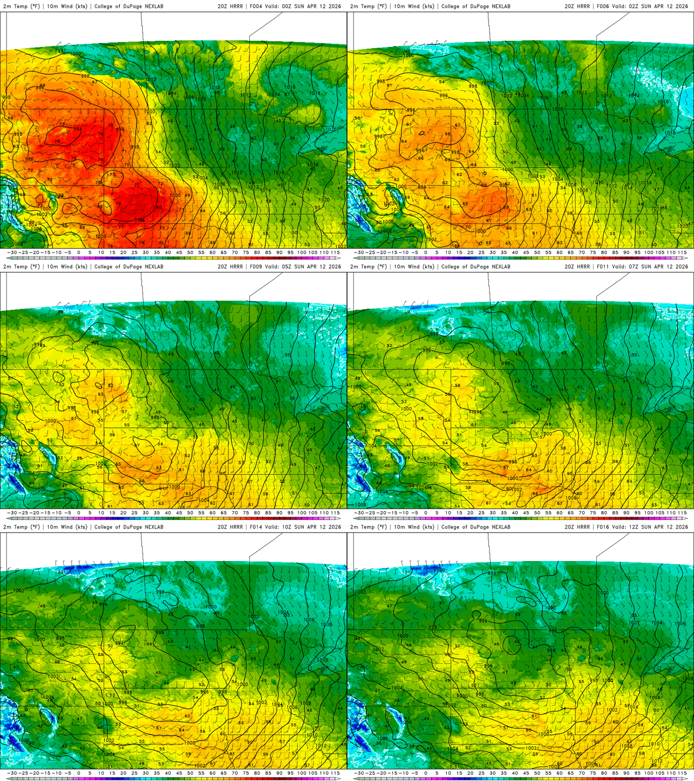
Depending on how quickly clouds clear Sunday, temperatures could climb to summerlike levels in the 70s and even low 80s, about a 30-degree warmup from Saturday.
Turn Up Your Support
MPR News helps you turn down the noise and build shared understanding. Turn up your support for this public resource and keep trusted journalism accessible to all.

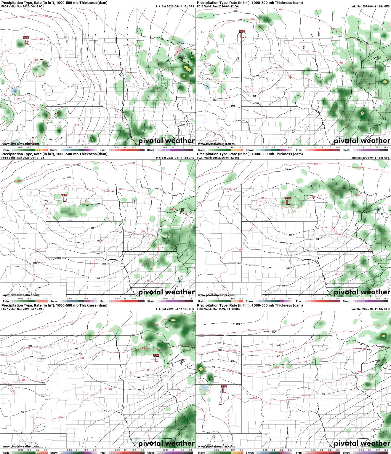
Light showers and a few rumbles of thunder will continue Saturday night into early Sunday morning. Much of Sunday is expected to be dry, with clouds and rain remaining closer to a low-pressure system near the Canadian border.
A more favorable setup for severe weather is expected Monday. A warm front will lift north during the afternoon, likely triggering storms along the boundary.
The Storm Prediction Center has issued a slight risk, or level 2 out of 5, for southern and central Minnesota. As storms intensify Monday afternoon and evening, all severe hazards are possible, including damaging winds, large hail and isolated tornadoes.

Tuesday presents a similar setup, though the greatest severe weather potential may shift farther south and east. Still, strong to severe storms remain possible.
The rest of the week is expected to stay mild, with highs in the 70s and periodic chances for showers and thunderstorms. Looking ahead, a stronger system may arrive next weekend, and some of its precipitation could fall as a mix rather than all rain.

