
80-degree warmth fades as storm chances increase Monday
Enhanced risk for severe storms develops

Go Deeper.
Create an account or log in to save stories.
Like this?
Thanks for liking this story! We have added it to a list of your favorite stories.


Unseasonably warm overnight temperatures are settling in, with lows holding in the 50s and 60s ahead of a more active weather pattern. An enhanced risk for severe storms covers the southern half of the state.
Warm overnight, stormy Monday with an increased threat of severe
Clear skies and mild temperatures are expected to persist overnight Sunday into early Monday as a ridge of high pressure moves through. By Monday morning, however, changes will begin to take shape as a cold front drops south toward the Minnesota-Iowa border. Lows will fall only into the 40s and 50s, about 20 degrees above average.

Northern Minnesota will hold onto lingering cloud cover, along with a chance for showers and thunderstorms, mainly in the Arrowhead region, keeping low temperatures in the 30s.
Clouds will increase through the day Monday, with temperatures cooling slightly into the mid-60s to upper 70s. At the same time, moisture will quickly return, with dew points climbing back into the lower 60s.
Turn Up Your Support
MPR News helps you turn down the noise and build shared understanding. Turn up your support for this public resource and keep trusted journalism accessible to all.

The Storm Prediction Center has upgraded the forecast area to an enhanced risk, or level 3 out of 5, for storms developing late in the afternoon. Some of these storms could become severe, with large hail and damaging wind gusts as the primary threats. Hail larger than 2 inches in diameter will be possible in the strongest storms.
The situation will need to be monitored closely Monday, as the location of the frontal boundary will determine where storms develop and where the greatest severe threat occurs.
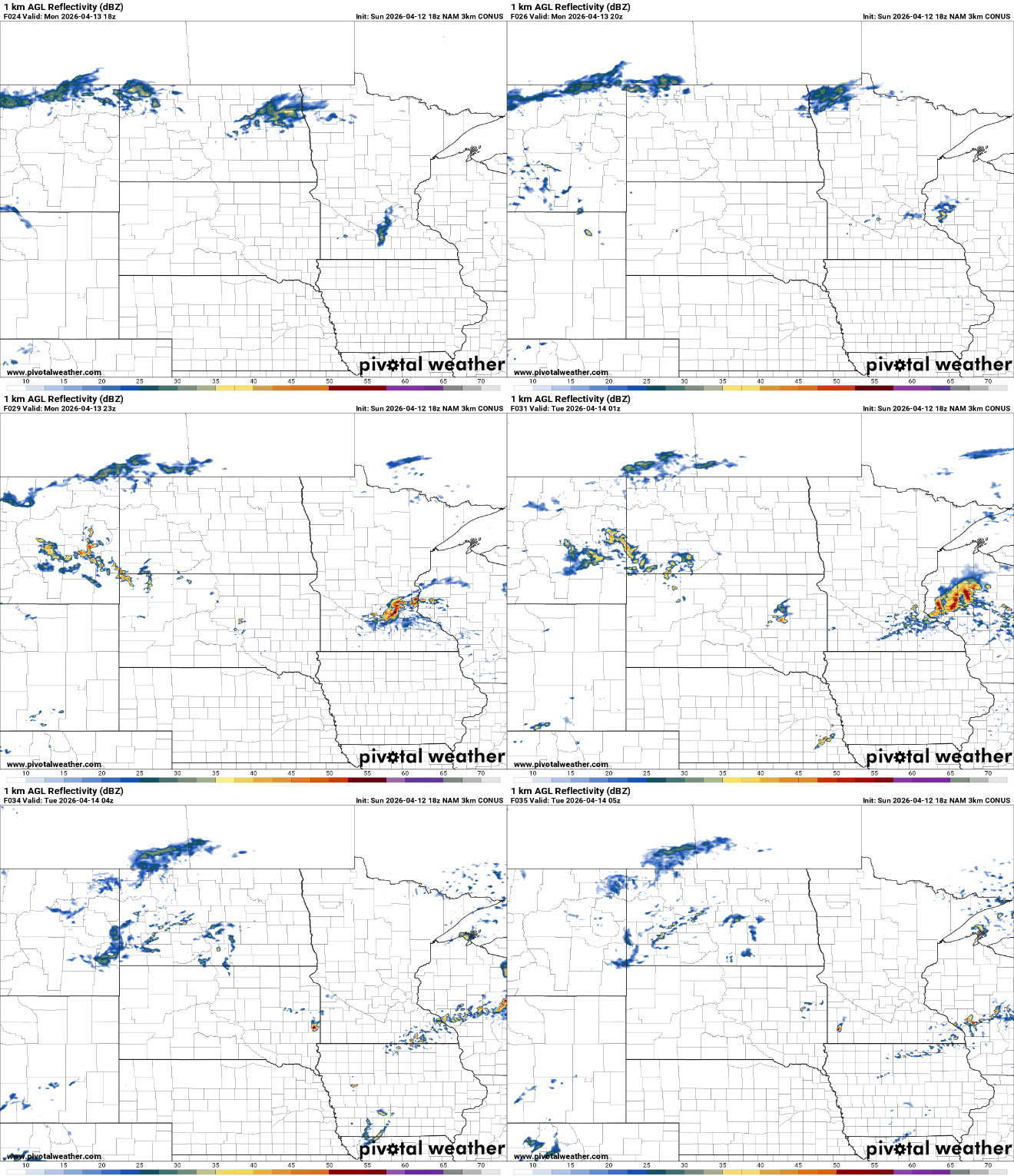
Lingering showers may persist into Tuesday, particularly across southern Minnesota and western Wisconsin, as another area of low pressure develops over the central Plains and tracks northeast. This system could bring additional rounds of non-severe thunderstorms into Wednesday.
A brief break in active weather is expected late Wednesday into Thursday before another strong system arrives Friday. That system is expected to bring another round of showers and thunderstorms, followed by a sharp drop in temperatures heading into next weekend.

