
Warm, windy Sunday ahead of storm chances early in the week
Storms could turn severe Monday with all hazards possible

Go Deeper.
Create an account or log in to save stories.
Like this?
Thanks for liking this story! We have added it to a list of your favorite stories.


Summerlike warmth returns Sunday despite a cloudy start, with dry conditions expected before severe weather chances arrive early this week.
Cloudy start, dry conditions expected with summerlike temperatures
Saturday’s soggy conditions brought decent rainfall to the Twin Cities metro, with periods of light to moderate rain adding up through the day and evening. Many areas recorded between a quarter inch and as much as three-quarters of an inch, providing a soaking rain across much of the region.

Temperatures and dew points have been steadily rising since late Saturday night, with early Sunday readings already showing dew points in the low 60s across southern Minnesota. Because of the increase in moisture, dense fog has developed across northern areas. A dense fog advisory remains in effect until 10 a.m. for northwestern Minnesota.

After a cloudy start, skies will begin to clear, allowing temperatures to surge into the 70s and even low 80s. Farther north, highs will be cooler but still above average for this time of year, ranging from the mid-50s to upper 60s.
Turn Up Your Support
MPR News helps you turn down the noise and build shared understanding. Turn up your support for this public resource and keep trusted journalism accessible to all.

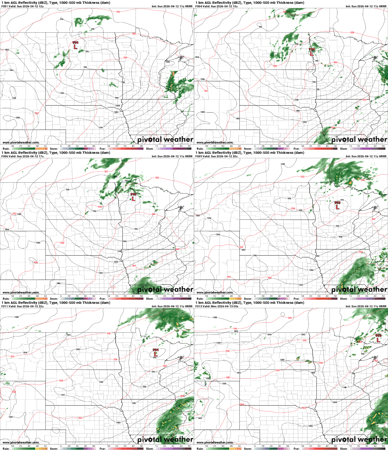
A low-pressure system will track east from the Red River Valley into northern Minnesota, keeping cloud cover and the chance for showers and thunderstorms across the northern part of the state. Some storms could get a little bumpy in the Arrowhead region late Sunday afternoon into the early evening.
Severe weather threat on Monday
Severe weather potential increases Monday afternoon. The Storm Prediction Center continues a slight risk — or level 2 out of 5 — across much of the region, with all hazards possible.

A stalled boundary will lift north as a warm front Monday, returning moisture to the area with dew points climbing back into the 50s and 60s. The front is expected to stall somewhere across southern Minnesota, where it will become the focus for storm development late in the day.
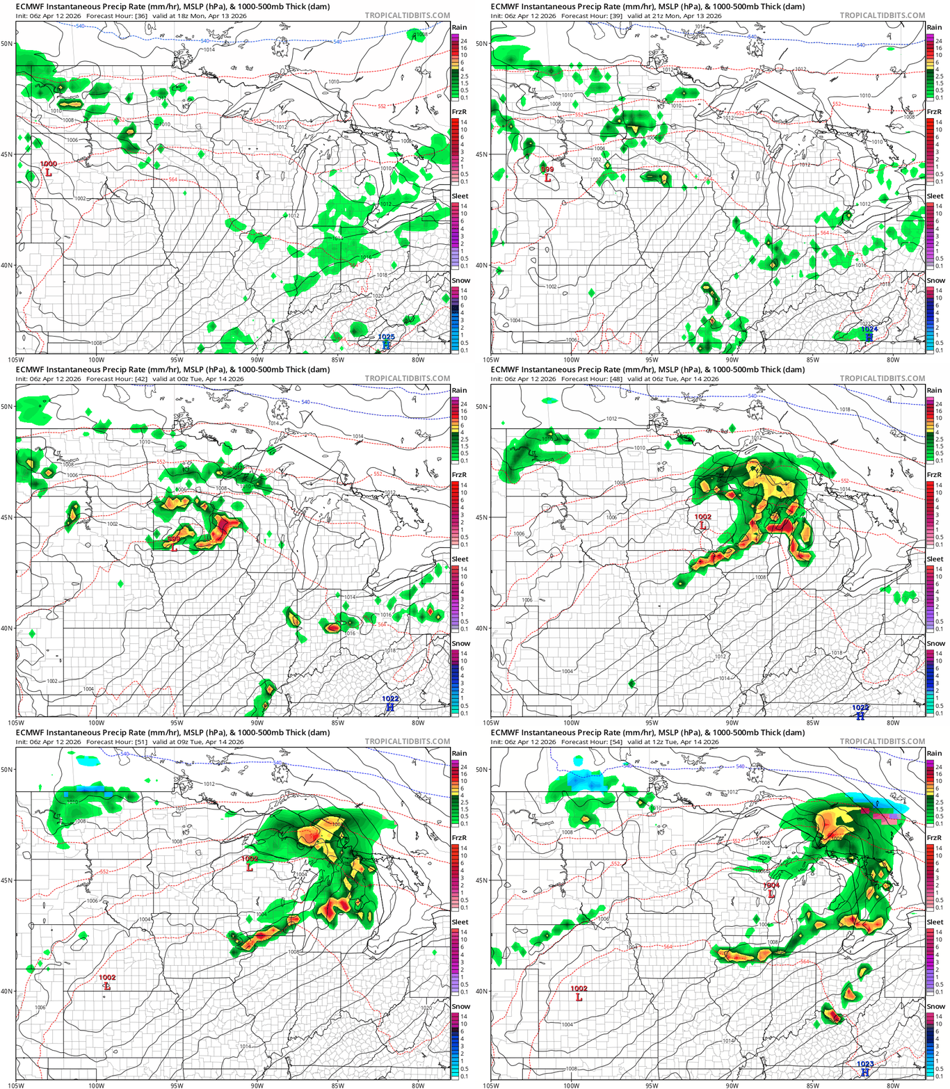
Conditions will briefly dry out late Monday night into Tuesday before another system arrives. On Tuesday, a low-pressure system will track from Nebraska through Iowa, likely keeping the greatest severe threat to the south and east, while bringing scattered showers and thunderstorms to the area.
Temperatures will remain warm, with highs in the 70s Tuesday and cooling slightly into the 60s to low 70s by Wednesday under mostly sunny skies.

