
Foggy start after stormy night, then a midweek warmup before Friday storms
Above-average warmth continues before a big weekend cooldown

Go Deeper.
Create an account or log in to save stories.
Like this?
Thanks for liking this story! We have added it to a list of your favorite stories.


Dense fog and low clouds have settled in following Monday night’s storms, creating a slow and gloomy start to the day. A stretch of warm temperatures and additional storm chances will continue through the week before a sharp cooldown arrives this weekend.
Foggy start, calmer conditions for Tuesday
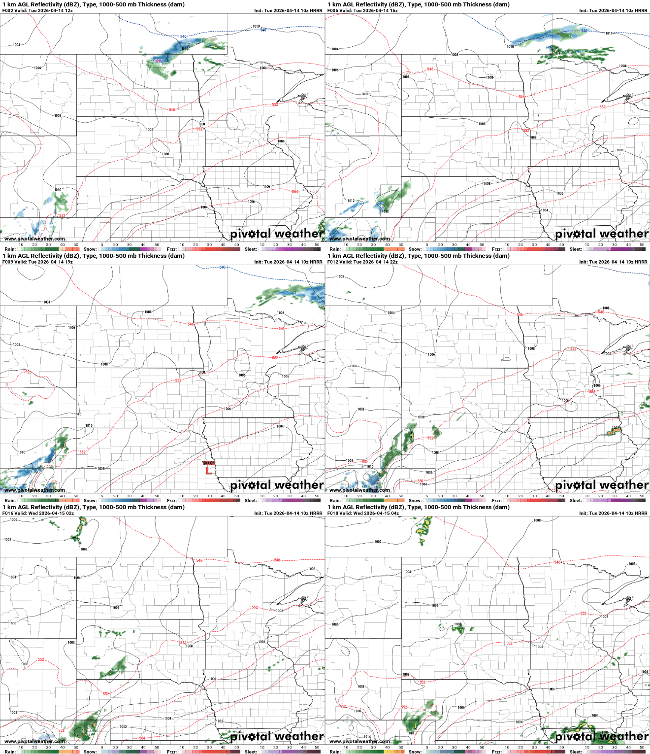
A quiet but gloomy start is underway Tuesday morning, with low clouds and areas of dense fog across the region. A dense fog advisory remains in effect for the Duluth area, the Twin Cities and locations to the southeast until 9 a.m. The fog will be slow to clear, with gradual improvement expected closer to midday. Even after visibility improves, skies will remain mostly cloudy through much of the day.

Temperatures Tuesday afternoon will warm into the 60s and low 70s for central and southern Minnesota, with cooler 40s and 50s holding on across the north.

Most of the state will remain dry, aside from a few light rain showers early in northwestern Minnesota and the chance for a few thunderstorms brushing areas along Interstate 90.
Sunshine is back on Wednesday, along with a nice warmup into the 60s and 70s for most of the state. The North Shore will stay cooler in the 40s and 50s, but overall it’ll be a very pleasant day. A few rain showers may return to southern and eastern Minnesota as another system passes through.

Thursday will be the standout day of the week, with sunshine and southerly winds helping temperatures climb back into the 70s and 80s. Humidity will also increase, with dew points rising into the 50s and lower 60s.
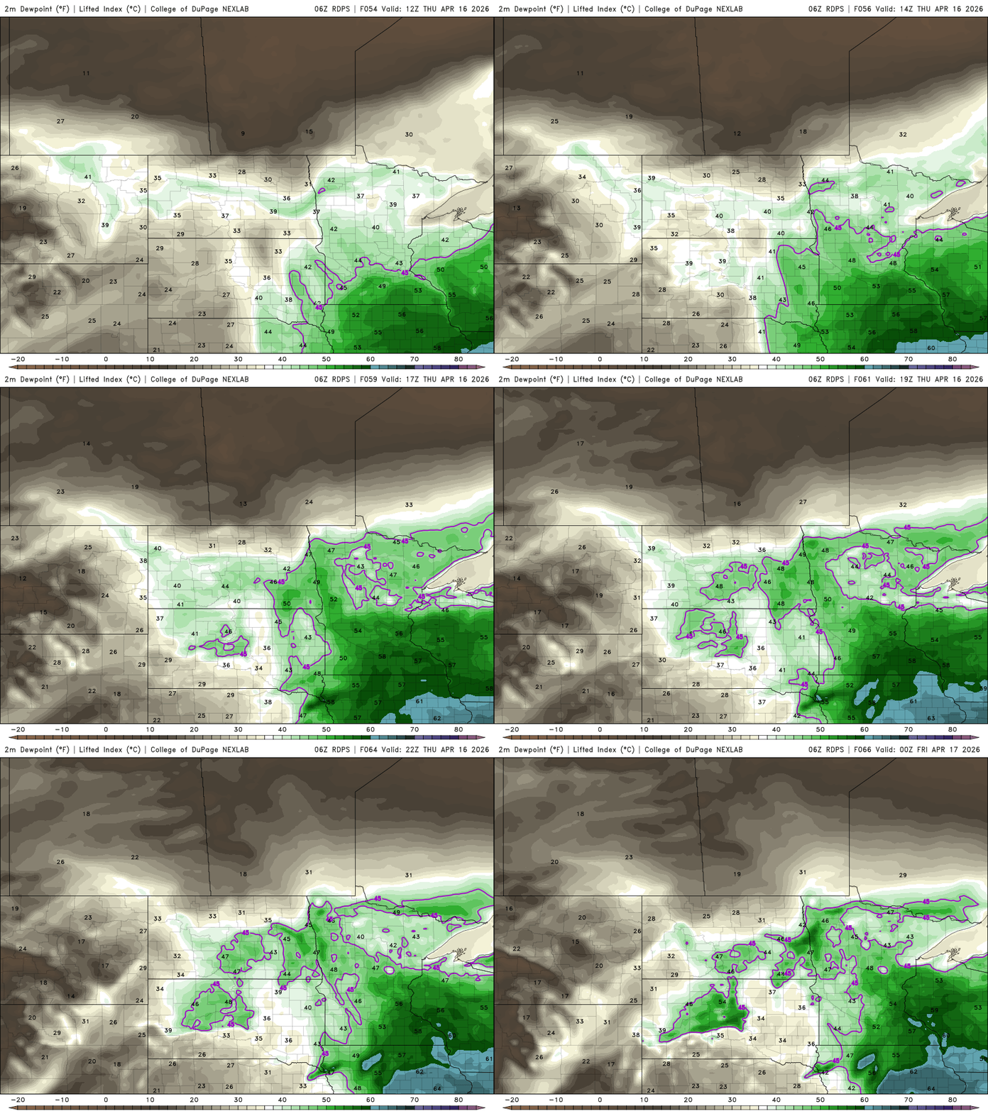
By Friday, a stronger system moves in, bringing increasing moisture and a potent cold front. Thunderstorms are expected to develop during the afternoon, and the atmosphere may once again support severe weather. Behind this system, the weekend turns sharply cooler, with highs falling back into the 40s and a chance for light precipitation on Saturday.
Turn Up Your Support
MPR News helps you turn down the noise and build shared understanding. Turn up your support for this public resource and keep trusted journalism accessible to all.

