
Mild midweek warmup followed by strong storms and a drastic cooldown Friday
Thursday will be the warmest day of the week

Go Deeper.
Create an account or log in to save stories.
Like this?
Thanks for liking this story! We have added it to a list of your favorite stories.


Mild temperatures through midweek will be replaced by strong storms and a sharp cooldown heading into the weekend.
Warming trend followed by drastic cooldown and storms
Our weather will remain mostly quiet through at least early Friday. Aside from a few light showers possible Wednesday across southeastern Minnesota, most areas will stay dry and any rainfall will be minimal.
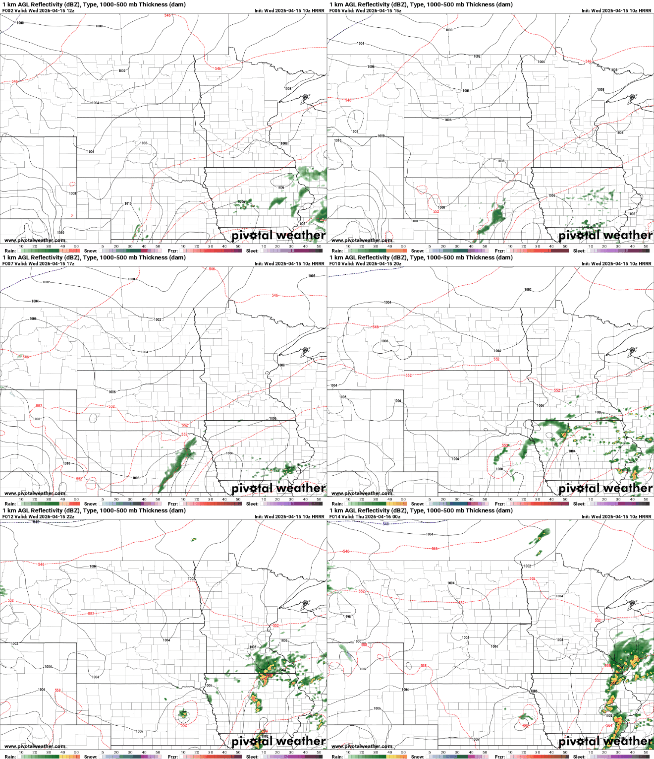
Patchy fog developed overnight, especially across western through central Minnesota, but it should clear quickly early Wednesday morning. A dense fog advisory remains in effect until 9 a.m. for portions of northwestern, western and central Minnesota.

Above-average temperatures will continue under mostly sunny skies, with highs reaching the mid to upper 60s across much of the state and some low 70s in southwestern Minnesota. Along the North Shore, cooler conditions will persist, with temperatures in the 40s and 50s.
Turn Up Your Support
MPR News helps you turn down the noise and build shared understanding. Turn up your support for this public resource and keep trusted journalism accessible to all.

Temperatures will climb noticeably on Thursday as southerly winds strengthen ahead of an approaching system. Highs are expected to reach the 70s across central areas of the state, with lower 80s possible in western Minnesota, making it the warmest day of the week.

Conditions begin to change on Friday as a strong cold front moves into the region. Rain showers progress from northwest to southeast, but thunderstorms are expected Friday afternoon for eastern Minnesota into Wisconsin. There is a slight risk that some of these storms could become severe with the potential for damaging winds and large hail.

Behind the front, temperatures will fall rapidly. Areas that see highs in the 60s and 70s Friday afternoon could drop into the 20s and 30s by early Saturday morning.

The colder air will settle in for the weekend. Highs on Saturday may remain in the 30s, with a chance for scattered snow showers mainly across northern areas, though any accumulation appears limited at this time. The Twin Cities may see its last flakes of the season.

