
Tornado watch issued for southeast Minnesota
Chilly weekend; warmer temperatures return next week

Go Deeper.
Create an account or log in to save stories.
Like this?
Thanks for liking this story! We have added it to a list of your favorite stories.


A cold front will touch off showers, storms and even snow up north Friday. Some storms could be severe in southeastern Minnesota. A chilly weekend is on the way with warmer air again Monday.
Cold front drops temperatures into the weekend and produces storms, snow
A tornado watch has been issued for southeastern Minnesota into Iowa and Wisconsin through 8 p.m. Friday. Strong super cell thunderstorms could develop early to midafternoon, producing isolated tornadoes and very large hail up to baseball size.
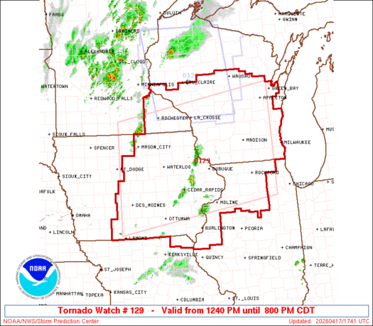
A severe thunderstorm watch is also posted through 5 p.m. Friday for far eastern Minnesota into Wisconsin for the threat of severe thunderstorms.

There’s a slight risk (level 2 of 5) for severe storms in southeastern Minnesota into western Wisconsin Friday midday into the afternoon hours.
Turn Up Your Support
MPR News helps you turn down the noise and build shared understanding. Turn up your support for this public resource and keep trusted journalism accessible to all.
The greater risk, an enhanced risk (level 3 of 5) is primarily across central and southern Wisconsin into far southeastern Minnesota’s Houston and Winona counties.

The greater severe risk is east of most of the Twin Cities due to the timing of the front. There will some strong storms with hail in the morning hours but as things heat up and the front progresses east, storms will become more surface-based with a greater risk of producing isolated tornadoes, damaging wind gusts and large hail.
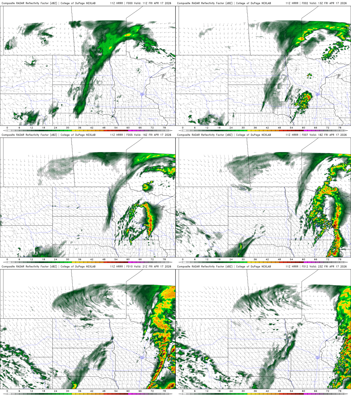
The potent cold front will produce a big temperature contrast from west to east today. High temperatures in the Twin Cities will be in the morning and then fall behind the front into the afternoon and evening.
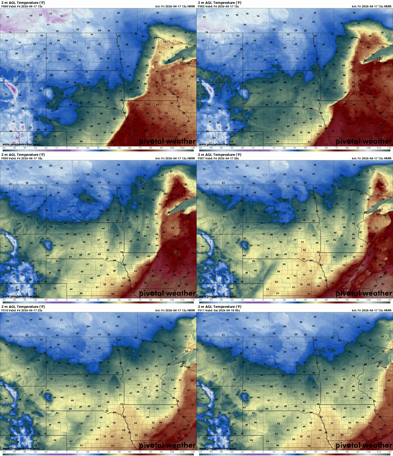
The front will likely touch off scattered showers and thunderstorms across eastern Minnesota into Wisconsin. In northern Minnesota it will be a wintry mix. A light icy coating and a light coating of snow is possible Friday morning in northwestern Minnesota.
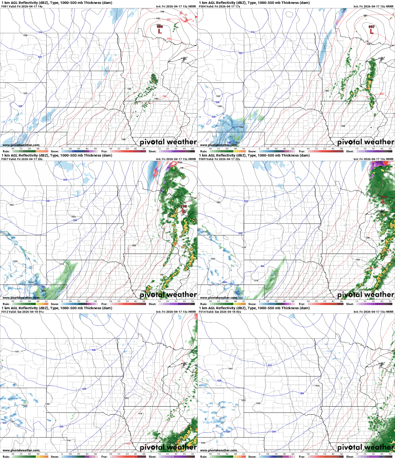
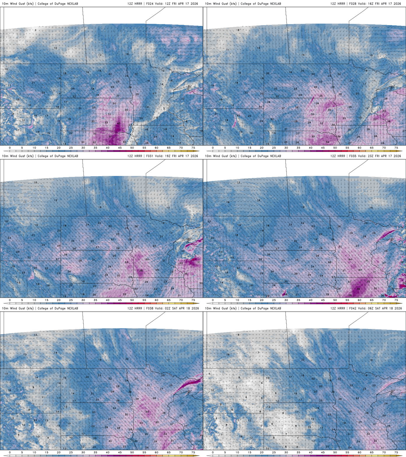
It will also be rather windy, first from the south and then the northwest in the afternoon Friday. Winds will be 15 to 30 mph.
The weekend will be chilly behind the front with highs Saturday mostly in the 40s and 30s. Sunday will be slightly warmer.

Next week brings a return of warmer temperatures. The pattern will be pretty quiet after Friday until perhaps late next week when the next storm system may move into the region.

