Sunny skies, but a chilly feel continues
Light snow early to 80s by midweek

Go Deeper.
Create an account or log in to save stories.
Like this?
Thanks for liking this story! We have added it to a list of your favorite stories.


A light coating of snow early Sunday will give way to sunshine and lighter winds. Temperatures stay on the chilly side before a warm-up arrives midweek.
White ground, blue skies this Sunday
A quick burst of light snow has coated grassy areas early Sunday as snow showers move off to the southeast. With any luck, these will be the last flakes of the season.
Sunshine takes over for the rest of the day, though it will remain on the cool side. Highs are expected to reach the upper 30s to low 40s in northern areas, with mid to upper 40s farther south.

Winds ease up compared to Saturday, but a few afternoon gusts around 20 mph can still be expected.
Turn Up Your Support
MPR News helps you turn down the noise and build shared understanding. Turn up your support for this public resource and keep trusted journalism accessible to all.
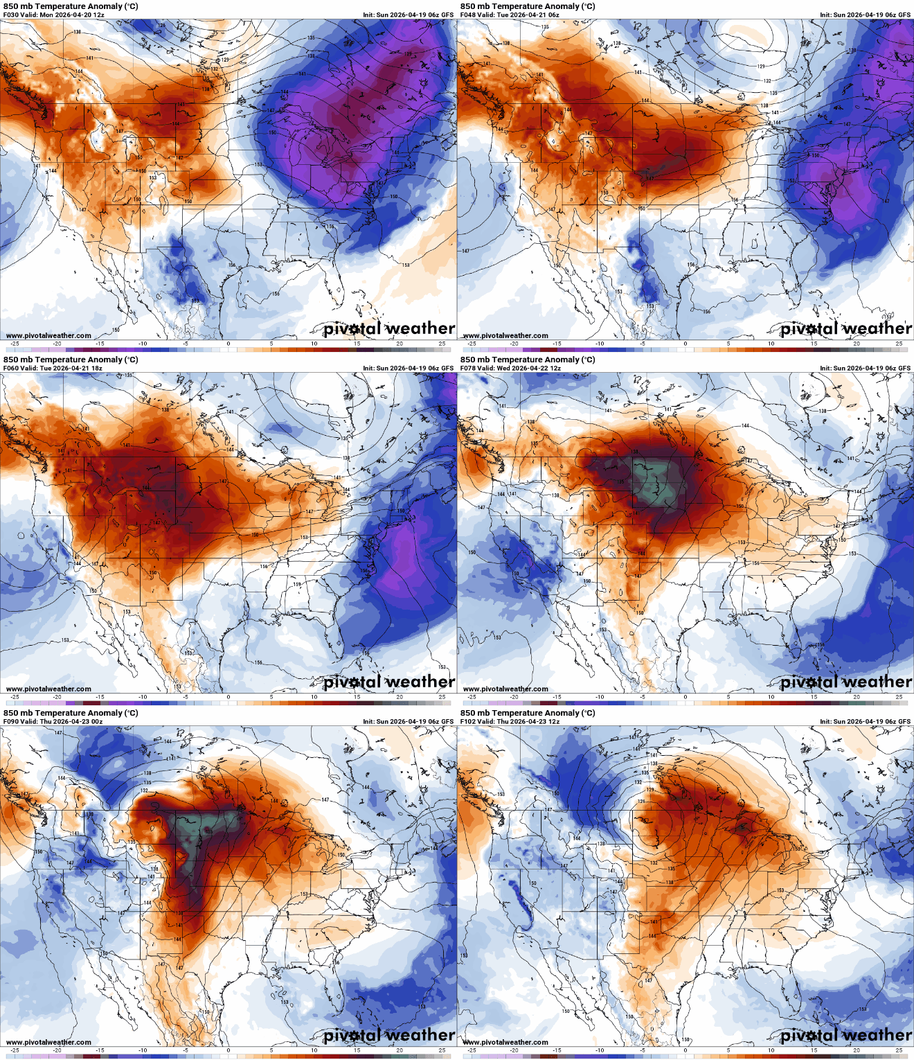
A warming trend begins early this week as high pressure builds in and a large ridge of warmer air expands eastward.
Monday’s temperatures will show a sharp contrast across the state. Eastern Minnesota will remain in the 40s and 50s, while warmer 70s begin to push into western areas.

Wednesday looks to be the warmest day of the week, as strong warm air advection pushes temperatures into the low to mid-80s across much of southern Minnesota.
As we’ve seen several times this spring, this early taste of summer won’t last long. A developing system moving out of the Rockies will track into the northern Plains late Wednesday into Thursday, pushing a cold front through the region. This will bring the return of showers and thunderstorms during the second half of the work week.
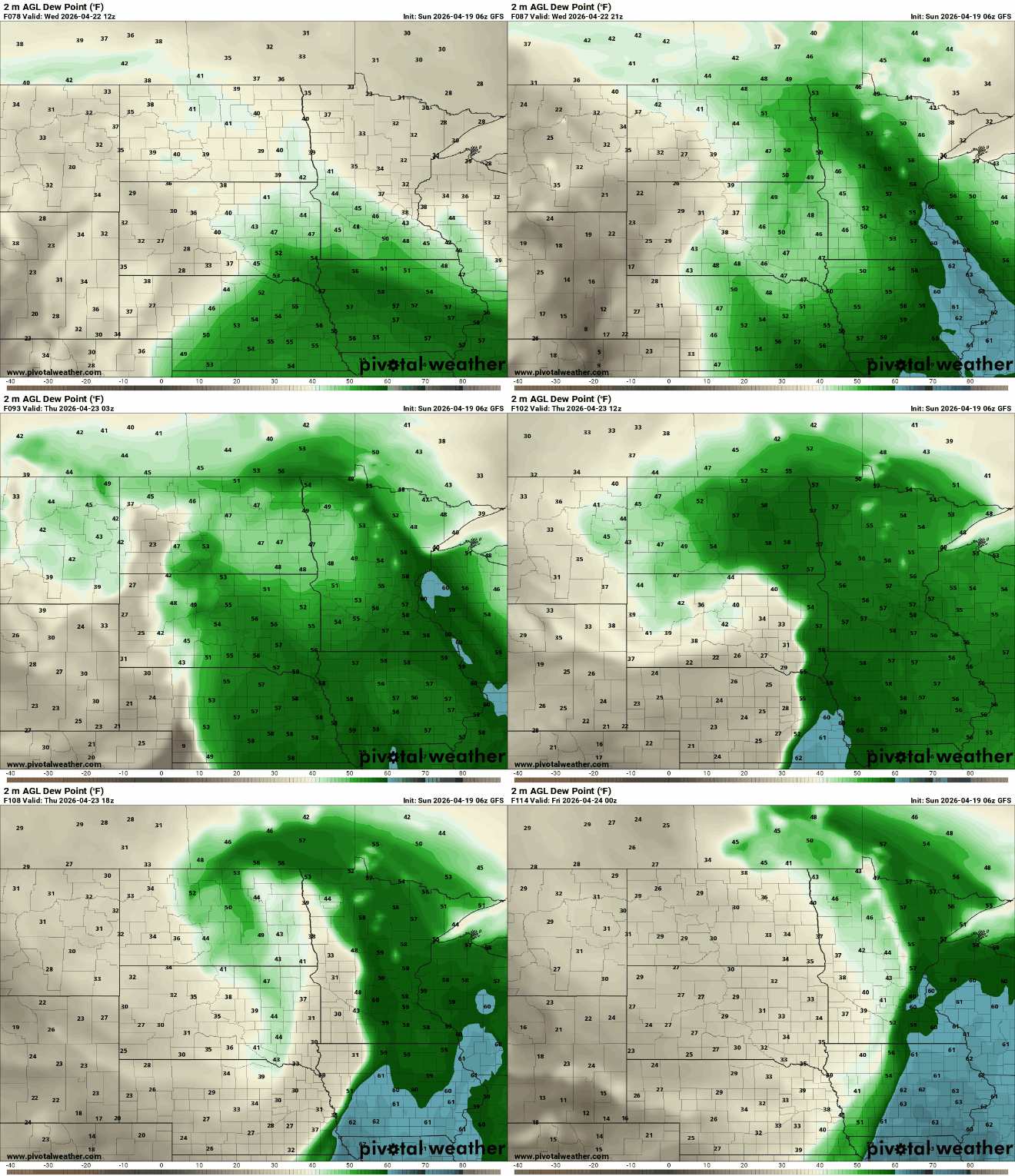
With warm and increasingly humid conditions ahead of the front, there is potential for strong to severe storms. Return Gulf moisture will help boost dew points into the 50s and 60s ahead of the cold front.