
Temperatures rapidly warm back up
Thursday could bring more thunderstorms
Go Deeper.
Create an account or log in to save stories.
Like this?
Thanks for liking this story! We have added it to a list of your favorite stories.


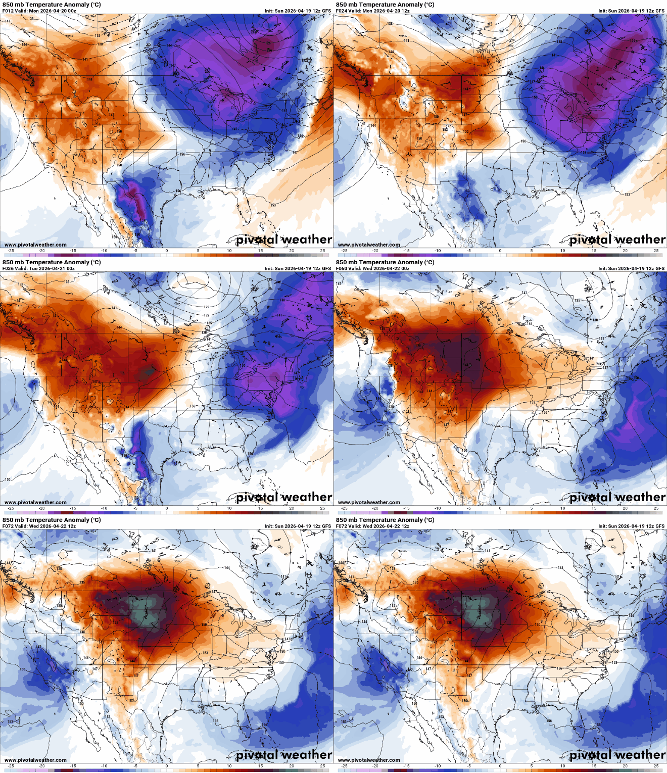
After a chilly weekend, temperatures warm back up quickly early this week. Southern Minnesota will see 80s by Wednesday with more storms possible Thursday.
Temperatures trend upward quickly with more storms possible Thursday
It’s another cold start with most Minnesota locations starting out Monday near or below freezing, but we’ll warm quickly with sunshine.
While northern Minnesota will see more clouds, central and southern Minnesota should see lots of sun with some occasional high clouds filtering that sun. Highs will be in the 60s west with cooler pockets east.

There’s a red flag warning due to critical fire weather conditions Monday afternoon. The combination of warmer temperatures with blustery winds and low relative humidity means any fire could spread quickly.
Turn Up Your Support
MPR News helps you turn down the noise and build shared understanding. Turn up your support for this public resource and keep trusted journalism accessible to all.

Relative humidity could be as low as 15 to 25 percent for much of the state with wind gusts up to 20 to 35 mph, especially in western and northern Minnesota Monday afternoon.

It’ll be back in the 70s for southern Minnesota already tomorrow. Wednesday looks to be the peak of our next warmup with highs in the 80s for much of southern Minnesota once again.

Wednesday’s high temperatures will be 20 to 25 degrees above normal for central and southern Minnesota.

It’ll be another warm day Thursday. Yet another potent upper level low will drop into the Rockies, helping to push more muggy air back into Minnesota by Thursday.
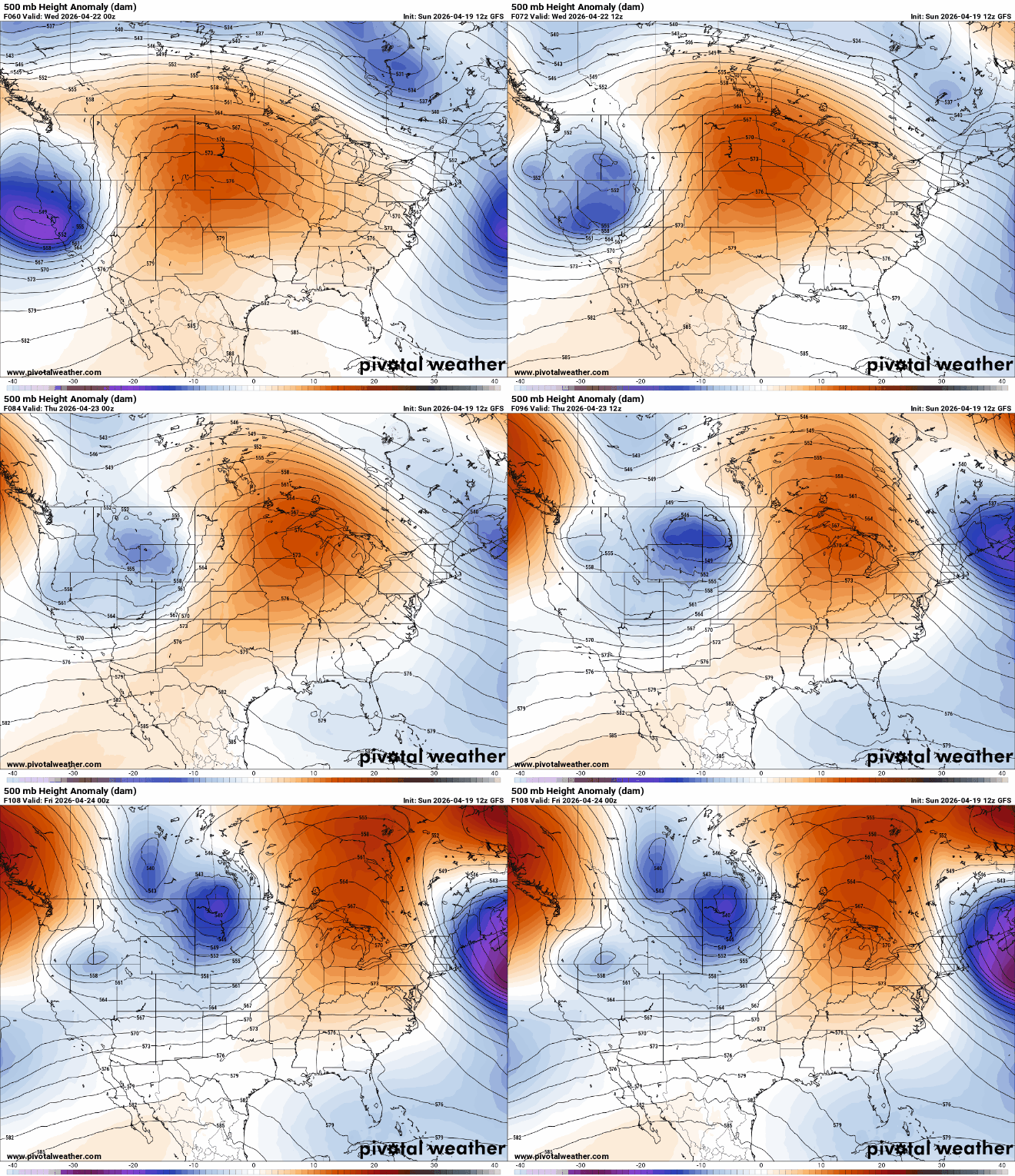
Dew points by Thursday could be near 60 degrees again, enough moisture to produce thunderstorms that may become severe.

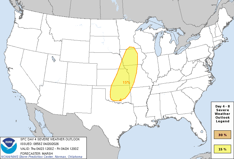
The National Oceanic and Atmospheric Administration’s National Severe Storms Laboratory’s experimental severe weather probability model forecasts a 10 to 15 percent chance of severe storms in southern Minnesota. This would equate to a potential slight risk, a level 2 of 5 severe threat if it holds.

As of Monday morning, NOAA’s Storm Prediction Center keeps the slight risk area just south of Minnesota for Thursday but we’ll need to continue to monitor the situation.
Behind it, cooler air moves back with with highs in the 50s and low 60s Friday into the weekend with another storm system possible by Sunday.


