
Incredibly warm Wednesday with strong storms Thursday
Temps dip to normal Friday

Go Deeper.
Create an account or log in to save stories.
Like this?
Thanks for liking this story! We have added it to a list of your favorite stories.


It’ll feel summer-like today as temperatures soar into the 80s across southern Minnesota. A developing system will touch off storms Thursday, some could be severe.
Almost hot Wednesday with storms on the way Thursday
It’ll be a ‘dry heat’ but it will still be very warm Wednesday afternoon. Highs will surge into the 80s across southern Minnesota with 90-degrees possible in parts of western Minnesota. Those readings are 20 to 30 degrees above normal on this Earth Day.

A reminder this Earth Day that these temperatures are at least partly a result of a warmer climate. April is a volatile month for temperatures normally and to be sure, we’ve always had some extreme warm days but climate change makes these extremes more frequent. Climate Central’s Climate Shift Index (CSI) shows forecast temperatures today are made one and a half times to two times more likely due to the warming of average temperatures in recent decades.

Critical fire weather conditions develop again midday today into the afternoon and evening as winds pick up from the south at 15-25 mph and afternoon relative humidity values drop below 30 percent.
Turn Up Your Support
MPR News helps you turn down the noise and build shared understanding. Turn up your support for this public resource and keep trusted journalism accessible to all.

Red flag warnings are posted for portions of Minnesota Wednesday midday through evening when temperatures are warmest and relative humidity values are at their lowest.

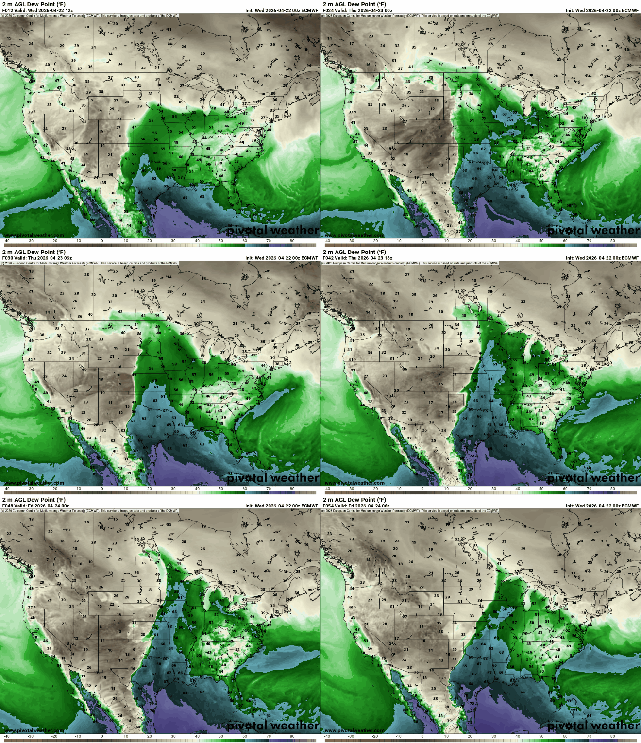
We’re still watching a developing system that will allow moisture to surge northward tonight into Thursday. Dew points will increase into the 50s to even near 60-degrees by Thursday afternoon.
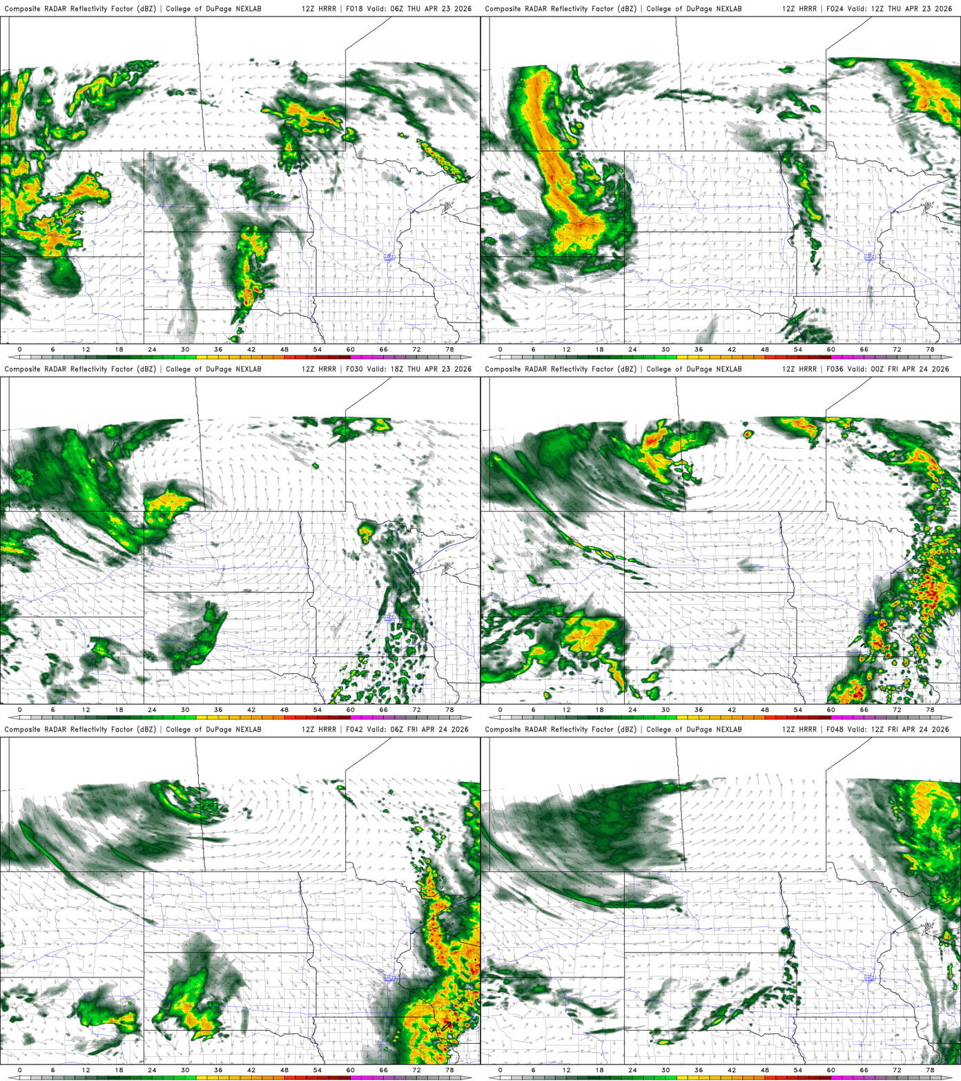
Thunderstorms are likely to develop Thursday afternoon in western Minnesota and track eastward. Storms that develop could be strong to severe with isolated tornadoes, large hail and damaging wind gusts possible.
NOAA’s storm prediction center has a slight risk (level 2 of 5) for severe storms across portions of southern Minnesota extending southward.
The main threat of tornadoes looks to be just south of Minnesota Thursday afternoon and evening but an isolated tornado or two cannot be ruled out. Large hail and damaging wind gusts are probably the main threats for southern Minnesota.

Behind the thunderstorms will come some cooler air for Friday into the weekend and early next week. Temperatures won’t be as cold as last weekend but will rather be closer to normal. Highs Friday will be in the 60s and 50s mostly.

Another system may deliver rain late Sunday into Monday for southern Minnesota but forecast models differ on track for that disturbance.

