
Severe weather threat builds across Minnesota and Western Wisconsin
Main threats are large hail, damaging winds and tornadoes
Go Deeper.
Create an account or log in to save stories.
Like this?
Thanks for liking this story! We have added it to a list of your favorite stories.


Minnesota faces a risk of severe weather Thursday as storms develop this afternoon and intensify into the evening.
Setup for severe weather
The main driver of Thursday’s severe weather threat is a strengthening area of low pressure near the North Dakota–Manitoba border. A cold front extending southeast from this system will sweep across Minnesota later Thursday, acting as the trigger for storm development.
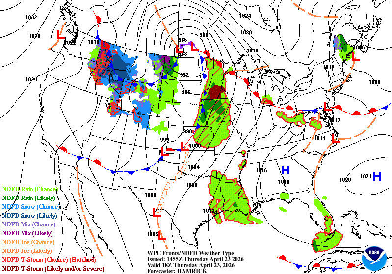
The National Oceanic and Atmospheric Administration’s Storm Prediction Center has placed much of south-central Minnesota, including the Twin Cities, and western Wisconsin under a slight risk (level 2 of 5) for severe weather. Areas farther north remain under a marginal risk
Western Minnesota’s primary concern will be fire danger rather than storms.

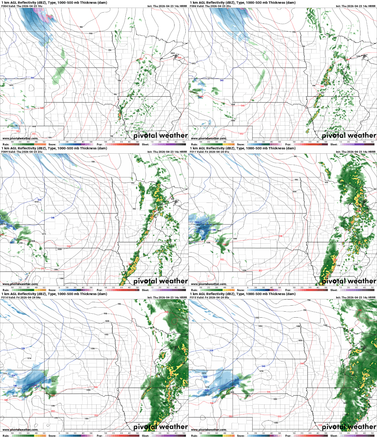
The main threats with Thursday’s system are large hail and damaging winds. A lower tornado risk exists, primarily during the early stages of storm development. As storms evolve, they may organize into a line, increasing the potential for more widespread damaging straight-line winds.
Timing for storms
The greatest severe weather risk is expected from mid-afternoon into the early evening. Storms are forecast to develop between 12 and 3 p.m. across central and southern Minnesota, then track east toward the Twin Cities metro area between 3 and 6 p.m., before continuing into western Wisconsin between 6 p.m. and 10 p.m.
Stayed tuned to MPR News for more weather updates as they happen!
Turn Up Your Support
MPR News helps you turn down the noise and build shared understanding. Turn up your support for this public resource and keep trusted journalism accessible to all.

