
Scattered overnight showers with more rain on the way Sunday night
Temperatures will remain cooler next week

Go Deeper.
Create an account or log in to save stories.
Like this?
Thanks for liking this story! We have added it to a list of your favorite stories.


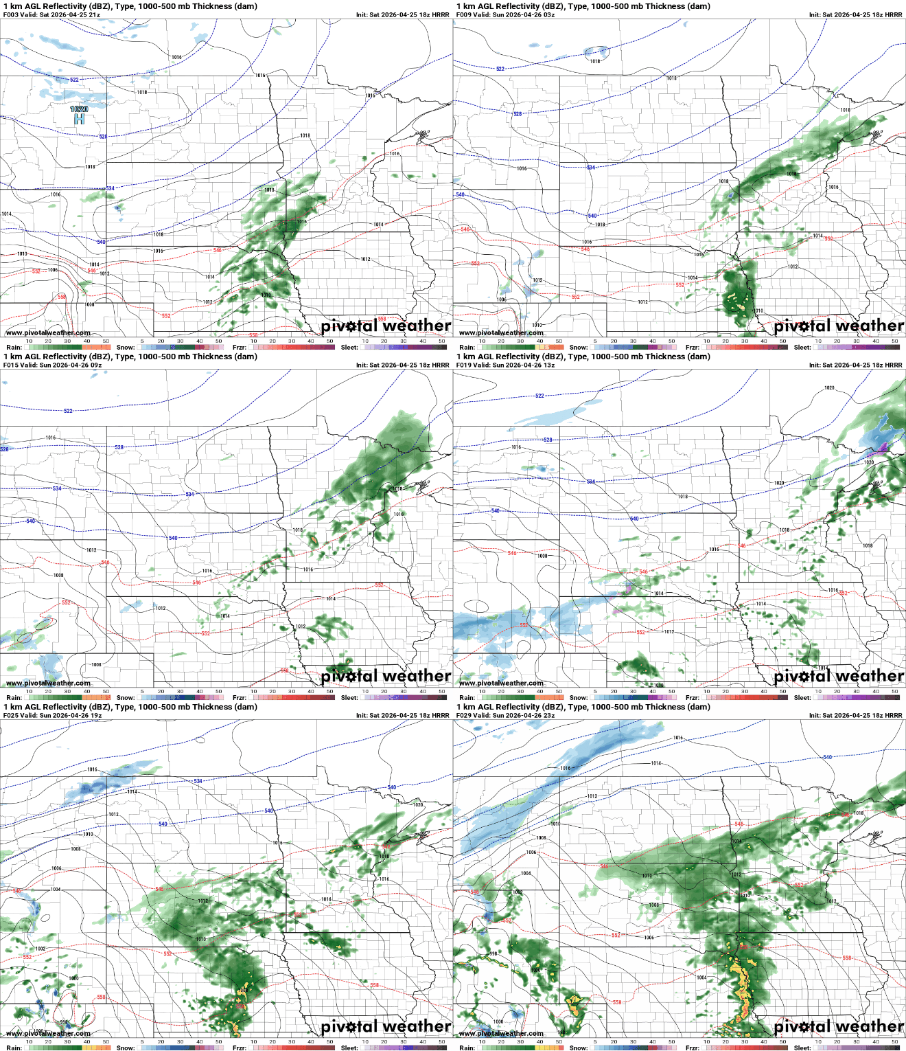
We’ll see scattered overnight showers across a large swath of central Minnesota into northeast Minnesota. More rain develops for Sunday night into Monday night.
Scattered showers Saturday night with more rain on the way Sunday night into Monday
Scattered showers will continue in an axis from southwest Minnesota through central Minnesota and northeast Minnesota into the overnight and early Sunday. During the day Sunday showers will be mainly spotty with lingering clouds.
Overnight lows will fall in to the 40s and 30s with temperatures near-freezing in the northwest corner of the state. Twin Cities overnight lows should be mostly in the upper 40s.

Temperatures will get a bit of a warmer boost Sunday ahead of the next soaking, spring storm system. Highs will be in the 60s across southern Minnesota with 50s north and cooler conditions near Lake Superior.
Turn Up Your Support
MPR News helps you turn down the noise and build shared understanding. Turn up your support for this public resource and keep trusted journalism accessible to all.

A significant round of rainfall is on the way for Sunday night into Monday and Monday night. Waves of showers and thunderstorms will move through the region during that period.
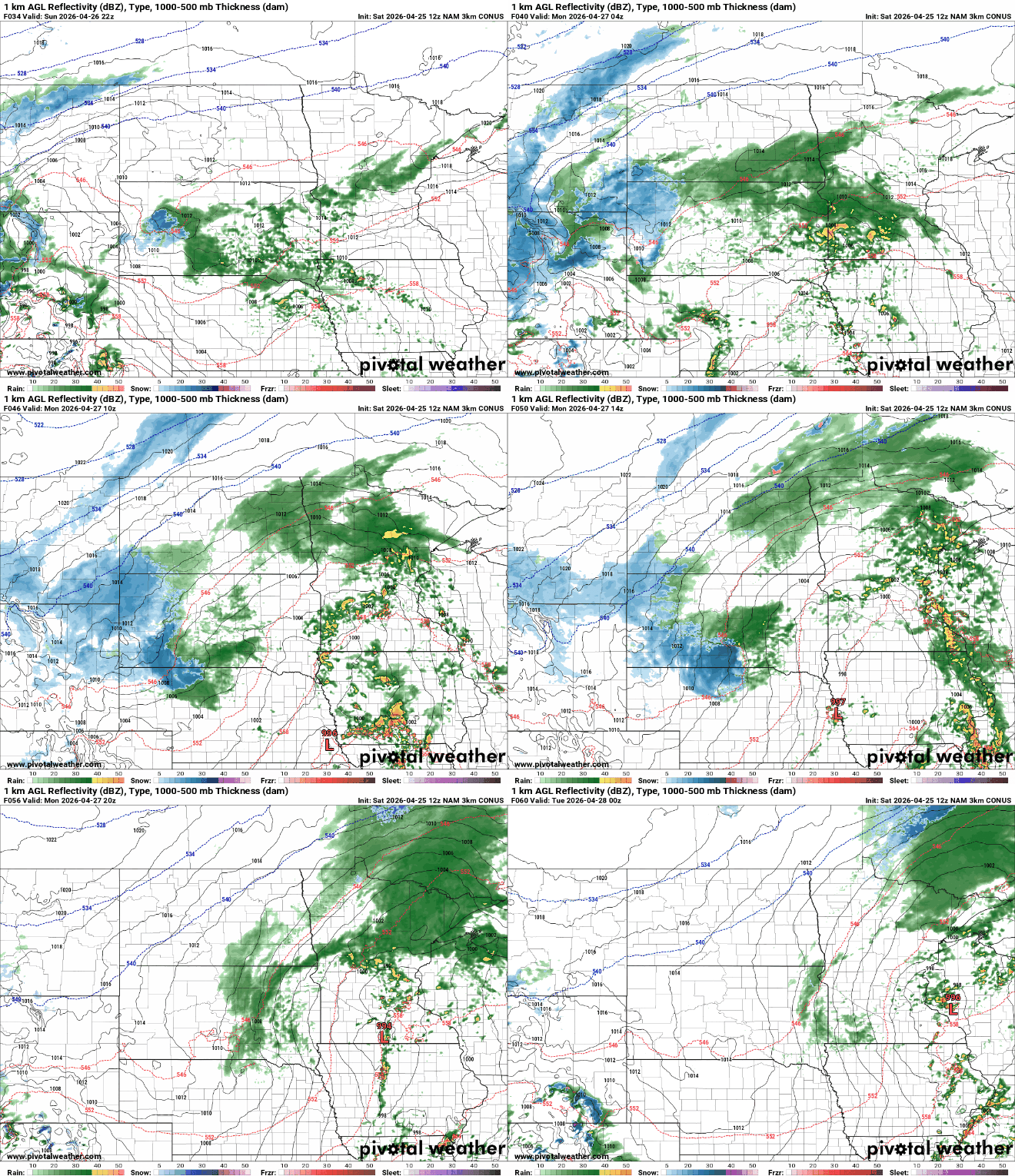
There’s even a slight (level 2 of 5) severe risk across the southeast corner of Minnesota with a marginal (level 1 of 5) risk up to the Twin Cities area.

A decent rainfall is expected across much of Minnesota, especially central Minnesota into early Tuesday. Up to one to two inches of rain could fall with locally higher amounts possible.
Next week will be cooler with highs mostly in the 50s and 40s midweek, just a little below normal. We should rebound into the 60s, perhaps even 70s by late next weekend.

