
Brighter skies and cooler temperatures
Warmer temperatures return by the end of the week

Go Deeper.
Create an account or log in to save stories.
Like this?
Thanks for liking this story! We have added it to a list of your favorite stories.


After a wet Monday, dry conditions should prevail the rest of the week with cooler-than-normal temperatures. We’ll see warmer conditions by the weekend.
Brighter skies but cooler-than-normal temperatures the next few days
A substantial soaking rain covered a large swath of Minnesota from the southwest to the northeast over the last 48 hours. One to 3 inches fell from Worthington through St. Cloud, the Iron Range, Duluth and the North Shore.
The Twin Cities received 1.27 inches officially at Minneapolis-St. Paul International Airport.

A flood advisory continues for the North Shore through Tuesday evening. River levels have again increased along the North Shore and in portions of northeastern Minnesota.
Turn Up Your Support
MPR News helps you turn down the noise and build shared understanding. Turn up your support for this public resource and keep trusted journalism accessible to all.

The Beaver River at Beaver Bay is at minor flood stage after going up 2.5 feet overnight. Levels have since come down several inches already Tuesday morning.

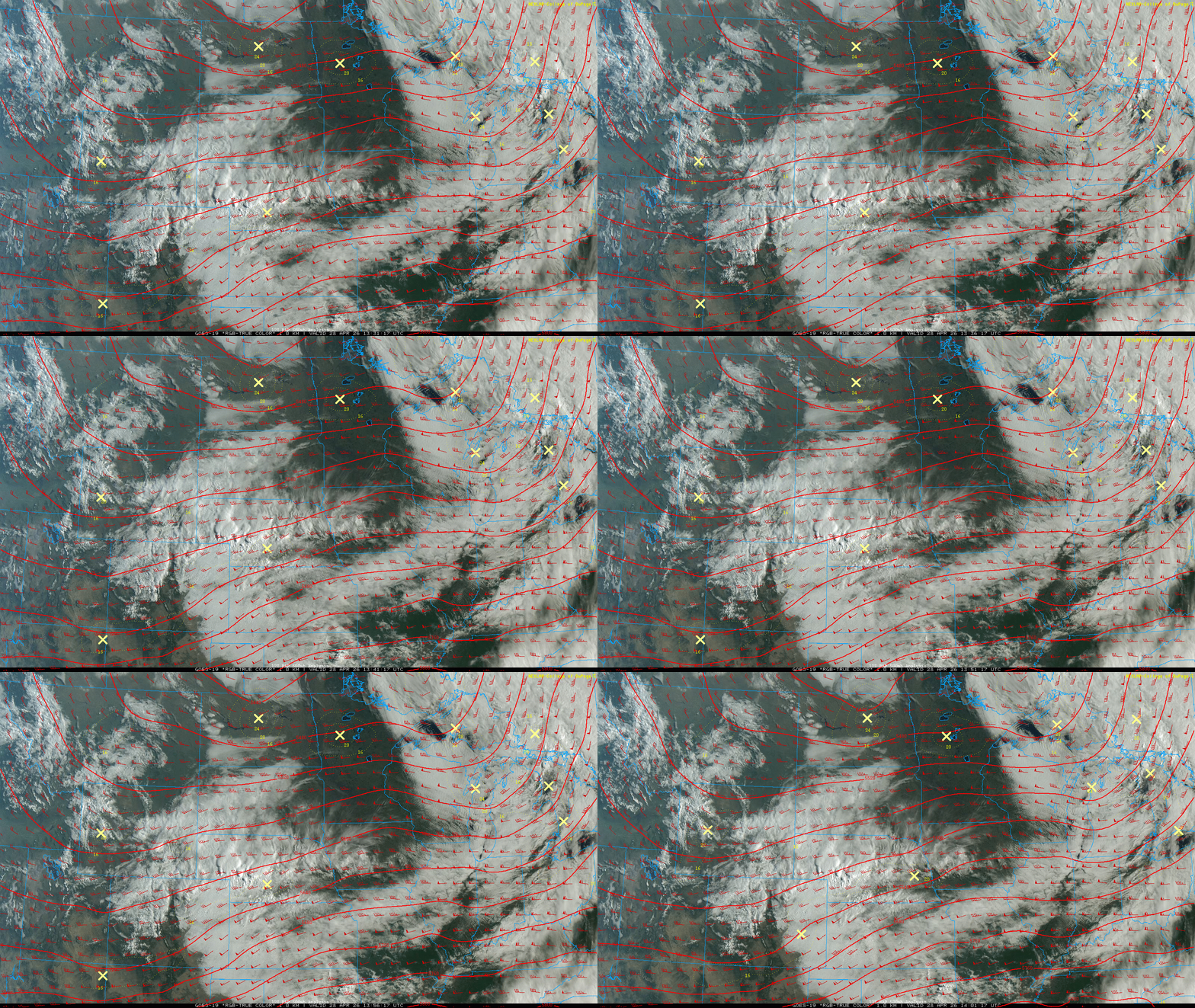
After a couple of gloomy and occasionally wet days, we’ll see the return of at least some sunshine Tuesday, especially this morning. Some scattered high clouds will move in for the afternoon with more cloud cover filling in north.
Afternoon highs will be mostly in the 40s and 50s across the state, which is several degrees cooler than normal.

It’ll be a similar story for temperatures Wednesday and Thursday. Afternoon highs will be mostly in the 50s south and 40s north with overnight lows in the 40s and 30s south with 20s north. Wednesday night could be quite chilly.
If you’ve put out any delicate plants you may want to cover them or bring them in as there could be scattered frost in many Twin Cities suburbs and southern Minnesota.

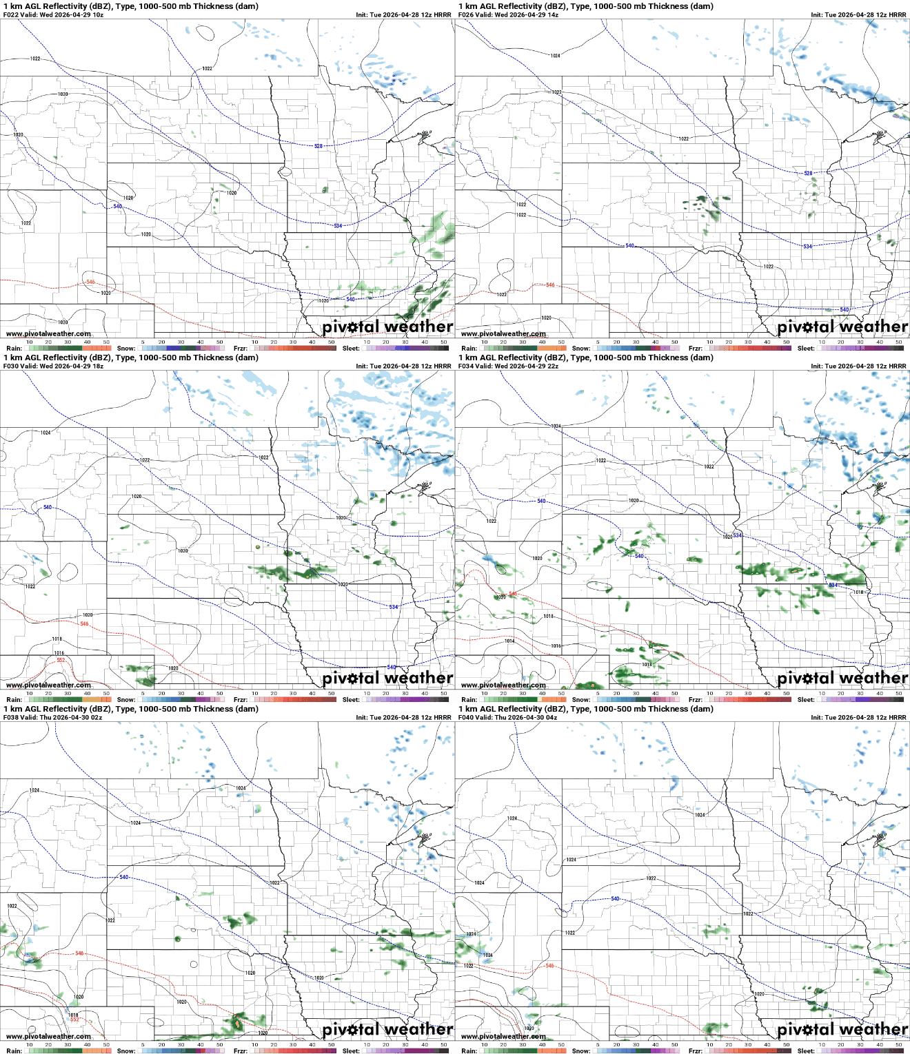
A couple of rather weak disturbances will move through Wednesday into Thursday. Both fast-moving disturbances will be lacking any significant moisture. Afternoon sprinkles are possible Wednesday in southern Minnesota with scattered flurries and snow showers north.
Temperatures will warm into the 60s for the weekend with perhaps even some 70s in southern Minnesota by Sunday.

