
Frost-freeze potential Friday night; warmer temps for the weekend
May starts off on a chilly note

Go Deeper.
Create an account or log in to save stories.
Like this?
Thanks for liking this story! We have added it to a list of your favorite stories.


A cold start to the weekend is on the way as a freeze warning takes center stage across the region, but temperatures are expected to warm as we head through the rest of the weekend.
Freeze warning Friday night; warmer weekend highs
Skies Friday night are expected to clear quickly. With light winds in place, temperatures will drop toward the freezing mark once again. Lows in the upper 20s to low 30 are expected across the state.

A freeze warning is in effect for southern Minnesota as temperatures drop to near or below freezing overnight.
The main core of the Twin Cities and its urban “heat island” may help limit frost formation, but outlying areas are more likely to see frost and could even experience a hard freeze in some spots. A hard freeze occurs when temperatures fall to 28 degrees or lower for at least an hour.
Turn Up Your Support
MPR News helps you turn down the noise and build shared understanding. Turn up your support for this public resource and keep trusted journalism accessible to all.
A west-southwesterly wind will develop on Saturday ushering in warmer temperatures for the weekend. Highs on Saturday will ramp up to the upper 50s and low 60s with a sunny start.

Clouds will gradually increase through the day Saturday as a weak disturbance moves into the region.
While much of the daytime should stay dry, there will be a slight chance for a few light rain showers developing, especially Saturday night into early Sunday morning. Along with this system, gusty northwest winds are expected to pick up overnight and continue into Sunday.
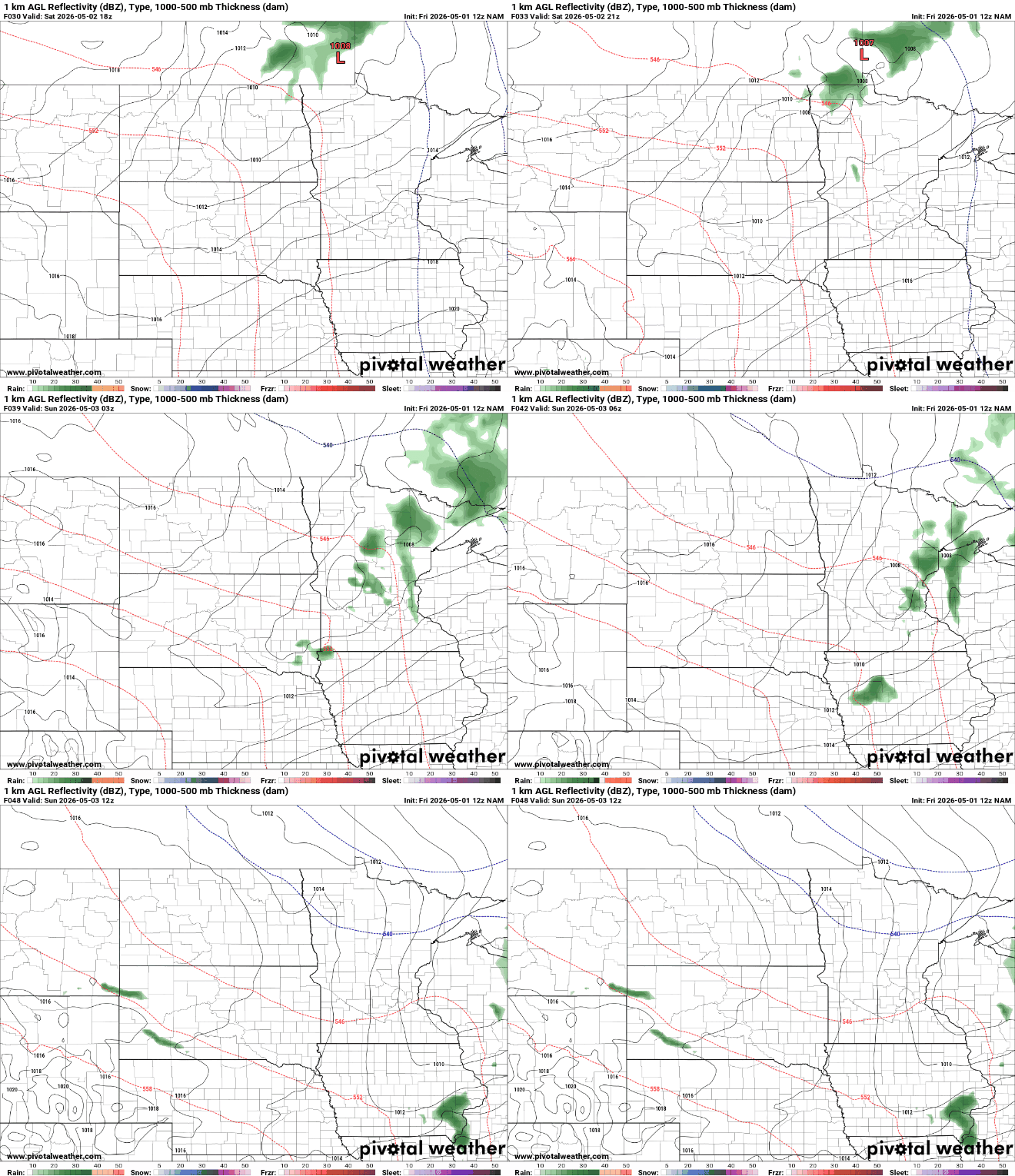
Another opportunity for rain arrives on Monday as a clipper-like system passes through. This won’t be a significant rainmaker, just a light round of showers that may be enough to dampen roads and grass, but not much more than that.
As we head into early next week, the upper-level low that has been responsible for our recent stretch of cooler weather will retrograde, meaning it will move backwards or drift westward, reinforcing the cooler air across the region. This will bring temperatures back down into the 40s and 50s for daytime highs.
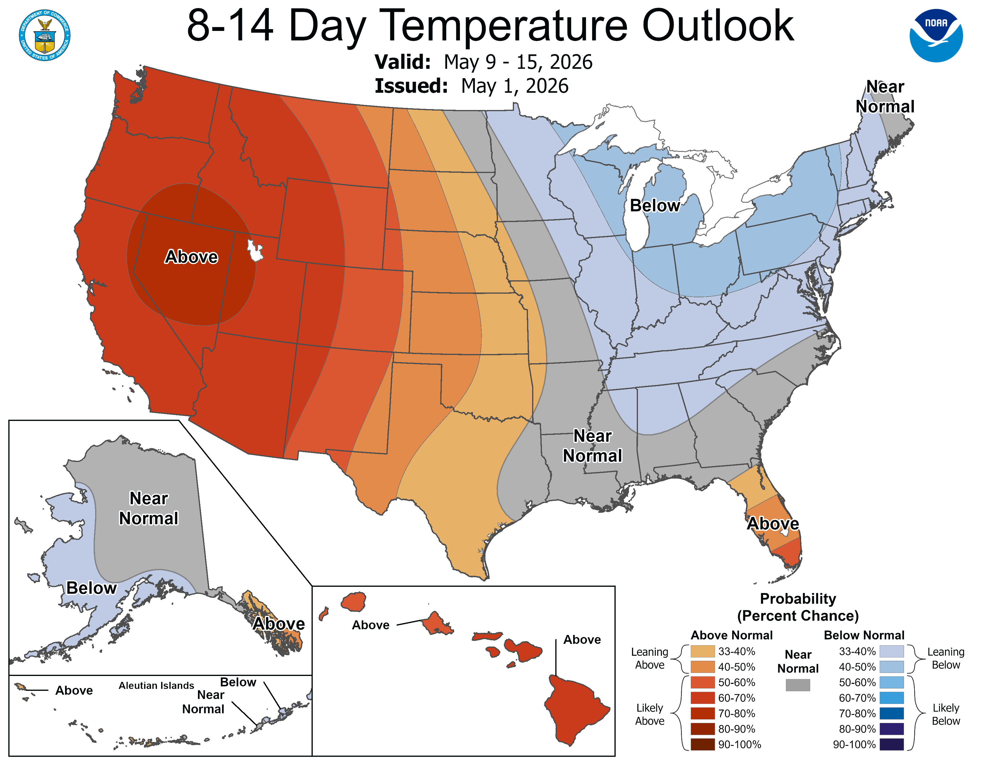
Overall, the start of May is shaping up to be on the cooler side, with occasional light rain chances.

