
Temporarily warmer weather for the weekend
Cooler air and rain shower chances return early next week

Go Deeper.
Create an account or log in to save stories.
Like this?
Thanks for liking this story! We have added it to a list of your favorite stories.


An upper-low that’s been keeping us cool and unsettled will loosen its grip some over the weekend, allowing for a temporary warmup. We cool off again next week with more minor rain chances.
Warmer for the weekend before cooling back down
We have one more cool and unsettled day Friday. Temperatures are starting off pretty chilly again and in the 30s for most. We’ll see afternoon highs back in the 50s and 40s, a good 10 degrees cooler than normal.
Clouds will once again fill in for the midday and afternoon Friday with a couple of isolated showers possible.

The cool day and clearing skies overnight will once again set us up for a chilly night. Patchy frost will be possible in the Twin Cities suburbs and throughout portions of southern Minnesota into western Wisconsin with subfreezing lows in northeastern Minnesota.
Turn Up Your Support
MPR News helps you turn down the noise and build shared understanding. Turn up your support for this public resource and keep trusted journalism accessible to all.

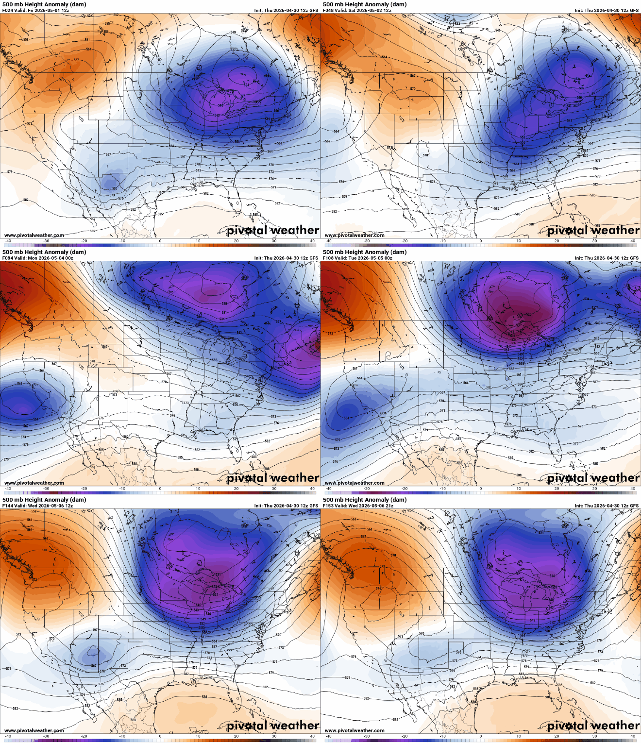
The upper-level low that’s been stuck sitting to our northeast will ease somewhat over the weekend, letting some warmer air sneak in for a few days.
It will actually move backward and westward next week thanks to a blocking high over Greenland. That will bring a return to cooler temperatures and some unsettled weather.
This weekend will bring highs back into the 60s for most of western, central and southern Minnesota. We could even be near 70 degrees Sunday and Monday in southern Minnesota.
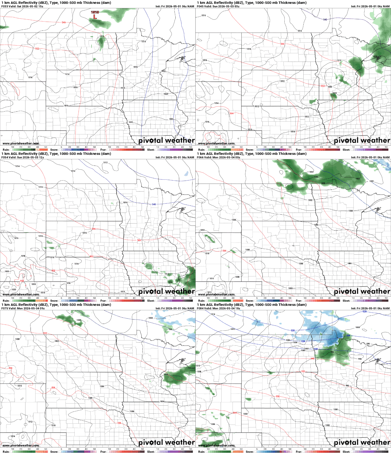
Persistent northwest flow aloft means we’ll see several minor disturbances that might bring a few spotty showers, but none of it will add up to a lot of moisture for most of us.
Total precipitation amounts through early Wednesday will be a trace to as much as just a couple tenths of an inch.

The first disturbance moves through mainly Saturday night, bringing a few showers. Then another disturbance brings more spotty showers on Monday and perhaps another midweek.
It’ll be cooler again Tuesday through Thursday next week, back in the 40s and 50s before we finally see more consistent warmth again by next weekend, May 8-10.

