
Subtle fronts bring limited rain chances before midweek cooldown
May starts off on a chilly note
Go Deeper.
Create an account or log in to save stories.
Like this?
Thanks for liking this story! We have added it to a list of your favorite stories.


A couple of weak cold fronts will bring spotty, light showers through Monday, followed by cooler, dry conditions midweek.
Spotty showers followed by a sunny Sunday
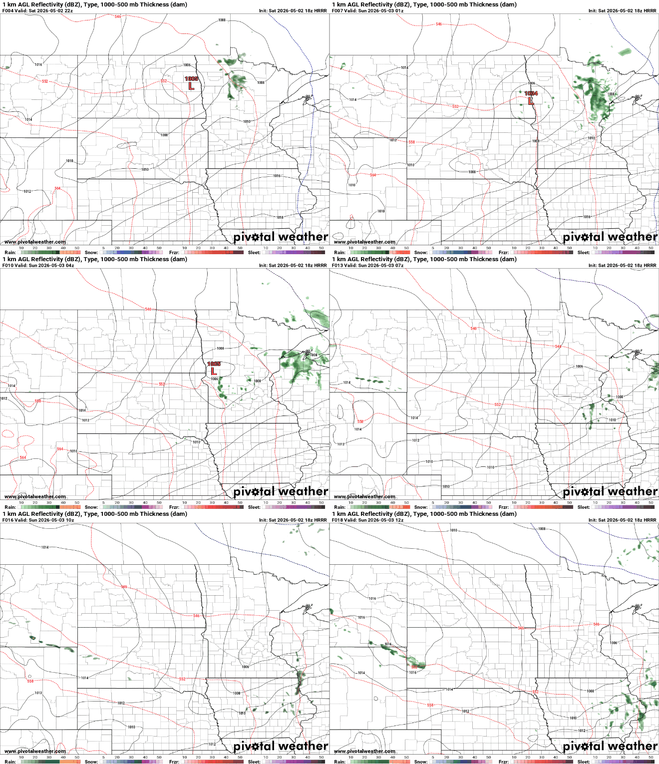
A weak cold front will move through Saturday evening into early Sunday, bringing only isolated showers with little to no accumulation. Some of this precipitation may not reach the ground due to dry air near the surface.
Overnight temperatures will fall into the mid to upper 30s across northern areas, with lows in the low to mid-40s farther south.

Sunday will be seasonable, with highs in the mid-60s and northwest winds around 10 to 20 mph.

Another cold front arrives Monday with scattered shower chances, but limited moisture will keep rainfall light, generally around a tenth of an inch or less.
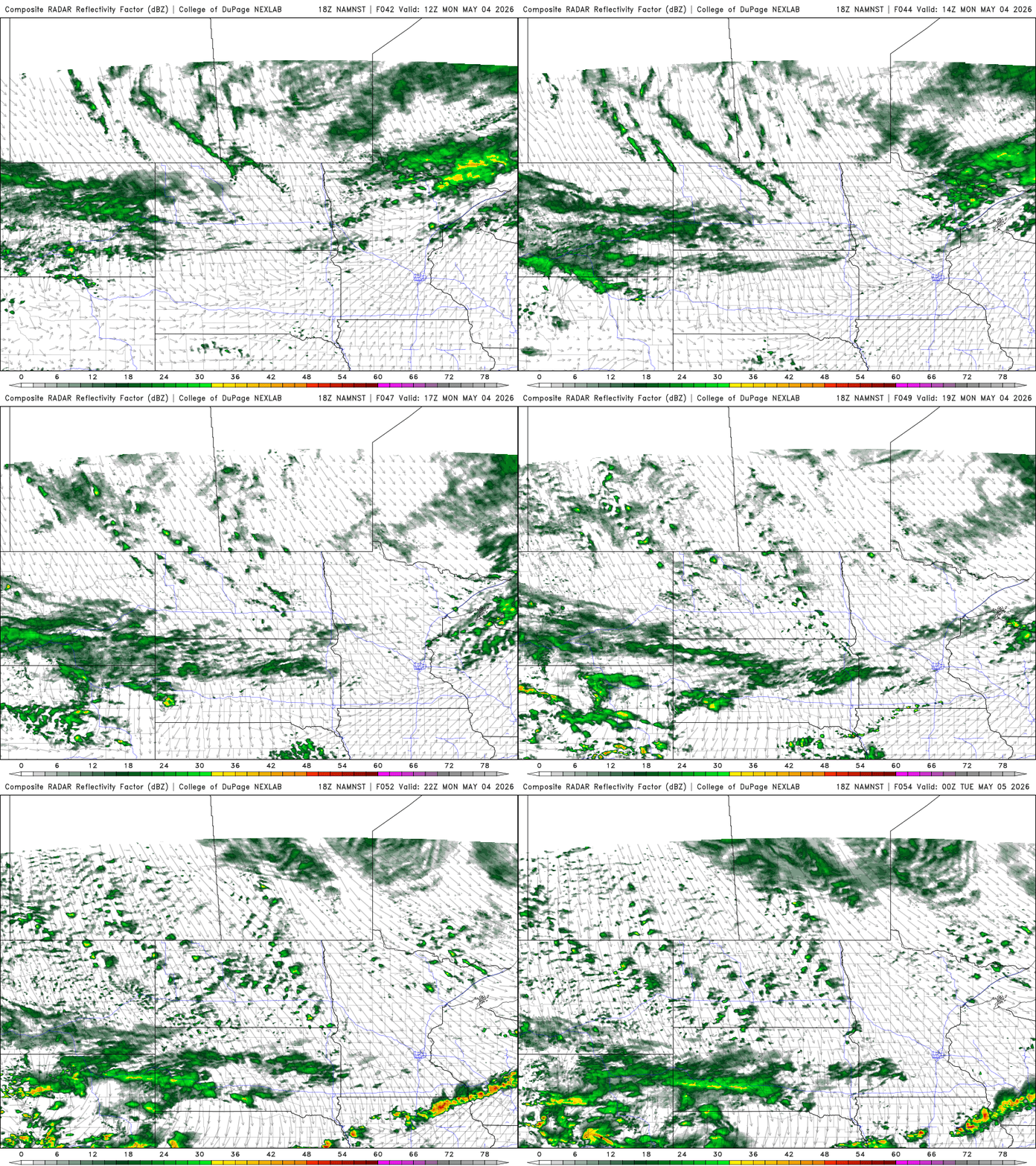
Behind Monday’s front, cooler and much drier air settles in through midweek, bringing chilly nights and the potential for frost or freezing conditions from Tuesday through at least Thursday morning.
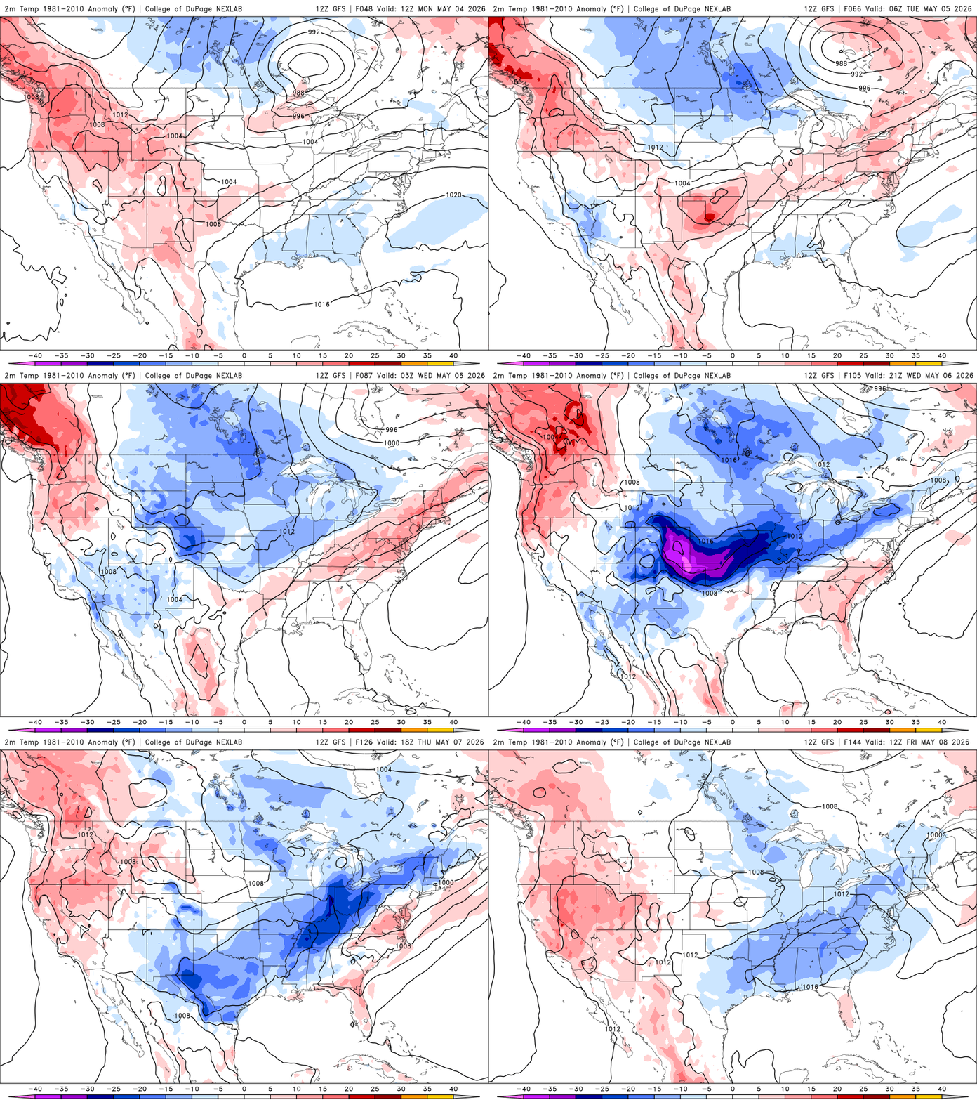
The start of May will stay on the chilly side, with highs mainly in the 40s and 50s before a return to the 60s by Friday as southerly winds develop.
Turn Up Your Support
MPR News helps you turn down the noise and build shared understanding. Turn up your support for this public resource and keep trusted journalism accessible to all.

