
Mostly dry cold front Monday, followed by a chilly stretch
Gradual warmup late week

Go Deeper.
Create an account or log in to save stories.
Like this?
Thanks for liking this story! We have added it to a list of your favorite stories.


It’s a fairly calm start to the week weather-wise, but a passing cold front Monday will usher in cooler air and a few chilly mornings.
Dry cold front for Monday
A cold front moves through on Monday, setting the stage for the upcoming week. Despite the frontal passage, moisture will be limited. Dry air near the surface is expected to prevent most rainfall from reaching the ground, so many areas will see little more than clouds or a few brief sprinkles. The best chances for rain will remain in northern Minnesota.
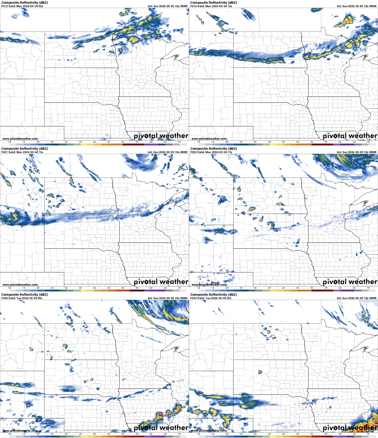
Temperatures will remain mild Sunday night, with lows falling into the upper 40s to low 50s in the south and the upper 30s to low 40s in the north.

Temperatures on Monday behind the front will be cooler across northwestern Minnesota, with highs in the mid to upper 40s, while southeastern Minnesota remains milder in the 60s and 70s.

Behind the front, cooler air settles in and lingers through midweek. Morning temperatures will drop enough to bring widespread frost potential from Tuesday through Thursday, with the coldest conditions expected Wednesday morning when temperatures fall to around or below freezing.

Daytime highs during this stretch will remain on the cooler side, with temperatures in the 40s and 50s on Tuesday and Wednesday. The cooldown will be brief, as temperatures begin to moderate by late week with a shift in the overall weather pattern. Warmer conditions are expected to return heading into next weekend, with signs pointing to a more sustained stretch of mild weather.
Turn Up Your Support
MPR News helps you turn down the noise and build shared understanding. Turn up your support for this public resource and keep trusted journalism accessible to all.

