
Another chilly day Wednesday before temperatures warm
Only isolated shower chances in the coming days
Go Deeper.
Create an account or log in to save stories.
Like this?
Thanks for liking this story! We have added it to a list of your favorite stories.


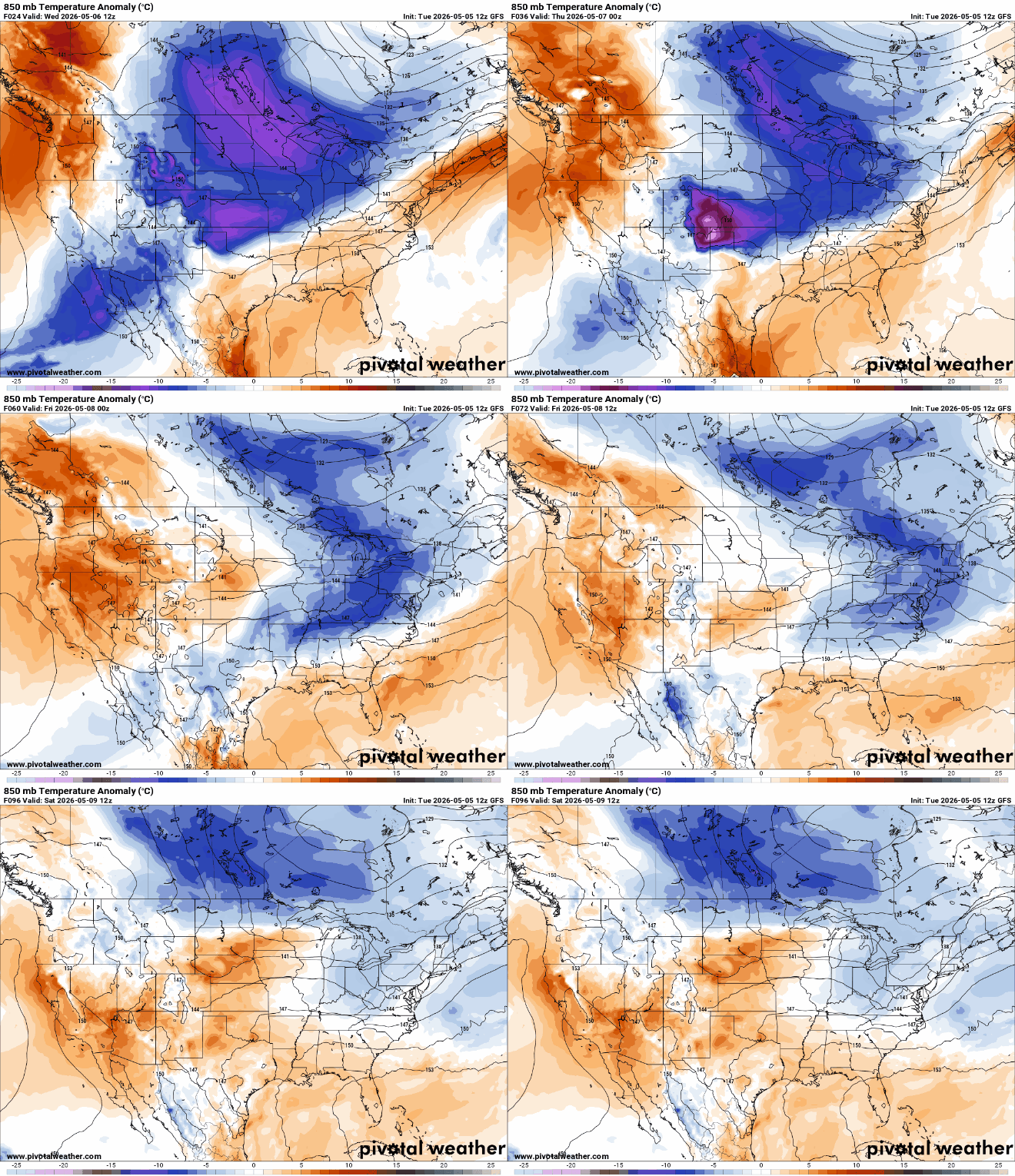
It’ll be another chilly day Wednesday. Temperatures start to warm up Thursday into next week. Rain chances will be pretty sparse in the coming days.
Another chilly day Wednesday before temperatures warm up
It was a frosty start for most of Minnesota early Wednesday, including in the core of the Twin Cities even. Even the Minneapolis-St. Paul international airport dipped to 32-degrees. That’s the latest freezing temperature in 16 years! You have to go back to May 9, 2010 when we had a later freezing temperature.

In the ‘it can always be worse’ file, I give you snowfall in Denver. Denver International airport received 4.7 inches of snow yesterday into last night. It’s their biggest May snowfall since 1983. Denver does average 1 inch of snow in the month of May. The Twin Cities average for May snowfall is zero (though it has of course snowed in May before, but it is rare).

It’ll be another pretty chilly day across the region. Afternoon highs will warm into just the low 50s for southern Minnesota and just around 40 in far northern Minnesota.
Turn Up Your Support
MPR News helps you turn down the noise and build shared understanding. Turn up your support for this public resource and keep trusted journalism accessible to all.

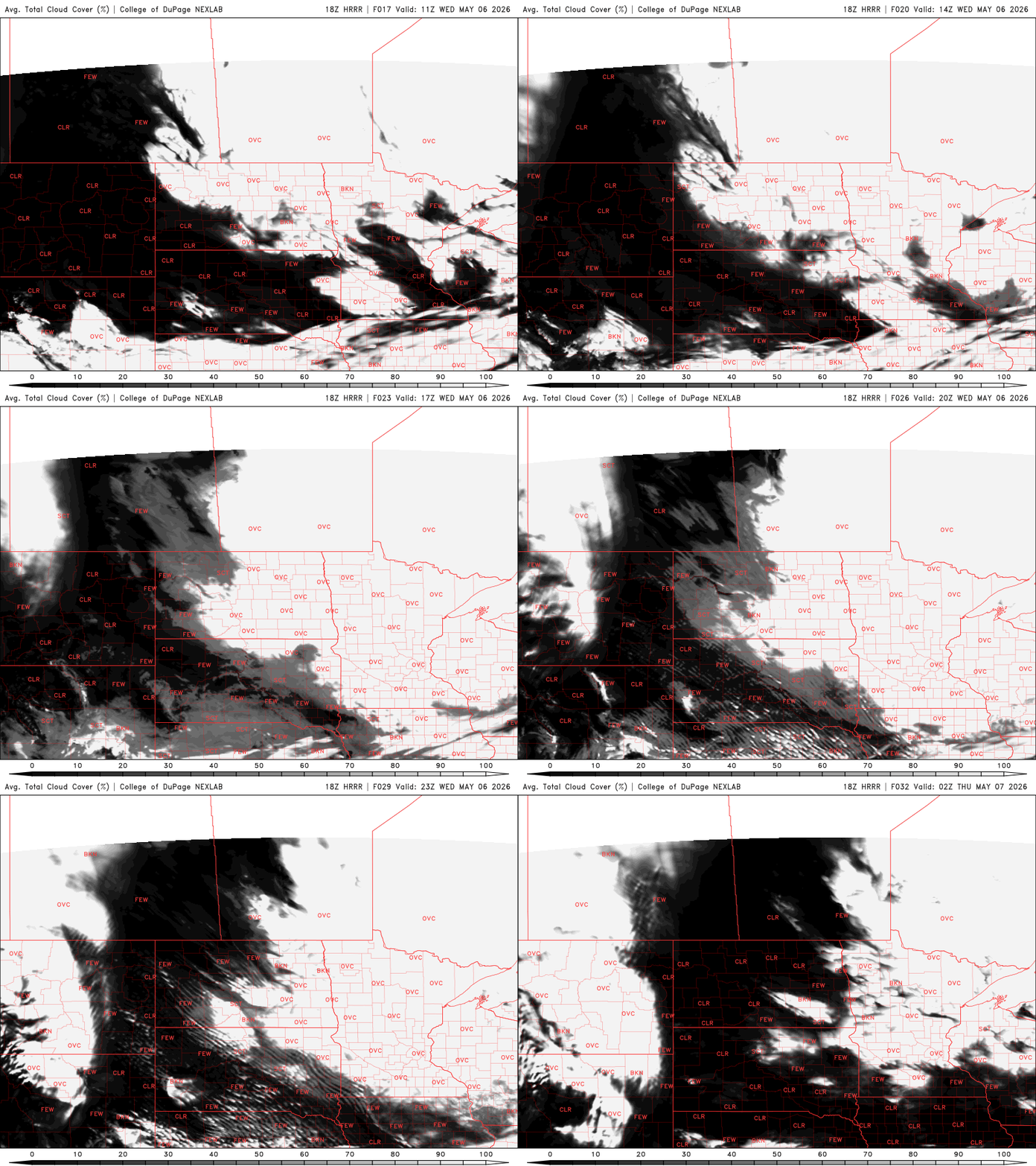
Just like the last couple of days, we’ll start with some sun, but clouds will fill in pretty quickly midday into the afternoon Wednesday due to the unseasonably cold air aloft and strong May sunshine, generating instability.
Tonight won’t be as cold, but areas outside the Twin Cities will likely see patchy frost once again. Northern Minnesota will see lows dip into the 20s.

Temperatures jump upward on Thursday with low to mid-60s across southern Minnesota. We’ll also see the chance for a couple of isolated showers with a fairly weak disturbance moving through.

Friday will bring temperatures near 70 degrees, which is back above normal highs which are in the mid-60s for the Twin Cities and southern Minnesota.

Weekend temperatures will be seasonable, mostly in the 60s. We’ll have another spotty shower chance on Saturday. Temperatures will continue the upward trend next week with 70s by midweek and the possibility of 80s late next week.

