
Slow warming trend begins Thursday
Summerlike temps possible next week

Go Deeper.
Create an account or log in to save stories.
Like this?
Thanks for liking this story! We have added it to a list of your favorite stories.


It’ll be another chilly night in the 20s and 30s but temperatures start to warm Thursday. We also have very little chance of significant rainfall in the coming several days.
Another chilly night then temperatures start their slow warmup
After another chilly day, look for another cold night across Minnesota. Temperatures won’t be quite as cold as last night but we’ll see widespread 30s and 20s again.
I think most of the Twin Cities will avoid frost, but if you’re in the suburbs and in outlying areas of southern Minnesota and western Wisconsin, you’ll probably have some at least patchy frost again.

We start to warm up Thursday. Afternoon highs should reach at least 60 degrees in the Twin Cities and southern Minnesota.
Turn Up Your Support
MPR News helps you turn down the noise and build shared understanding. Turn up your support for this public resource and keep trusted journalism accessible to all.

Temperatures will be even warmer Friday with highs near 70 degrees across much of southern Minnesota. That will actually be a few degrees above normal!

We had a good run of rainfall recently, but things will continue to dry out.
We only have minor disturbances and shower chances over the next several days. The first will deliver some isolated to spotty showers later Wednesday night into Thursday and another Friday night into early Saturday.
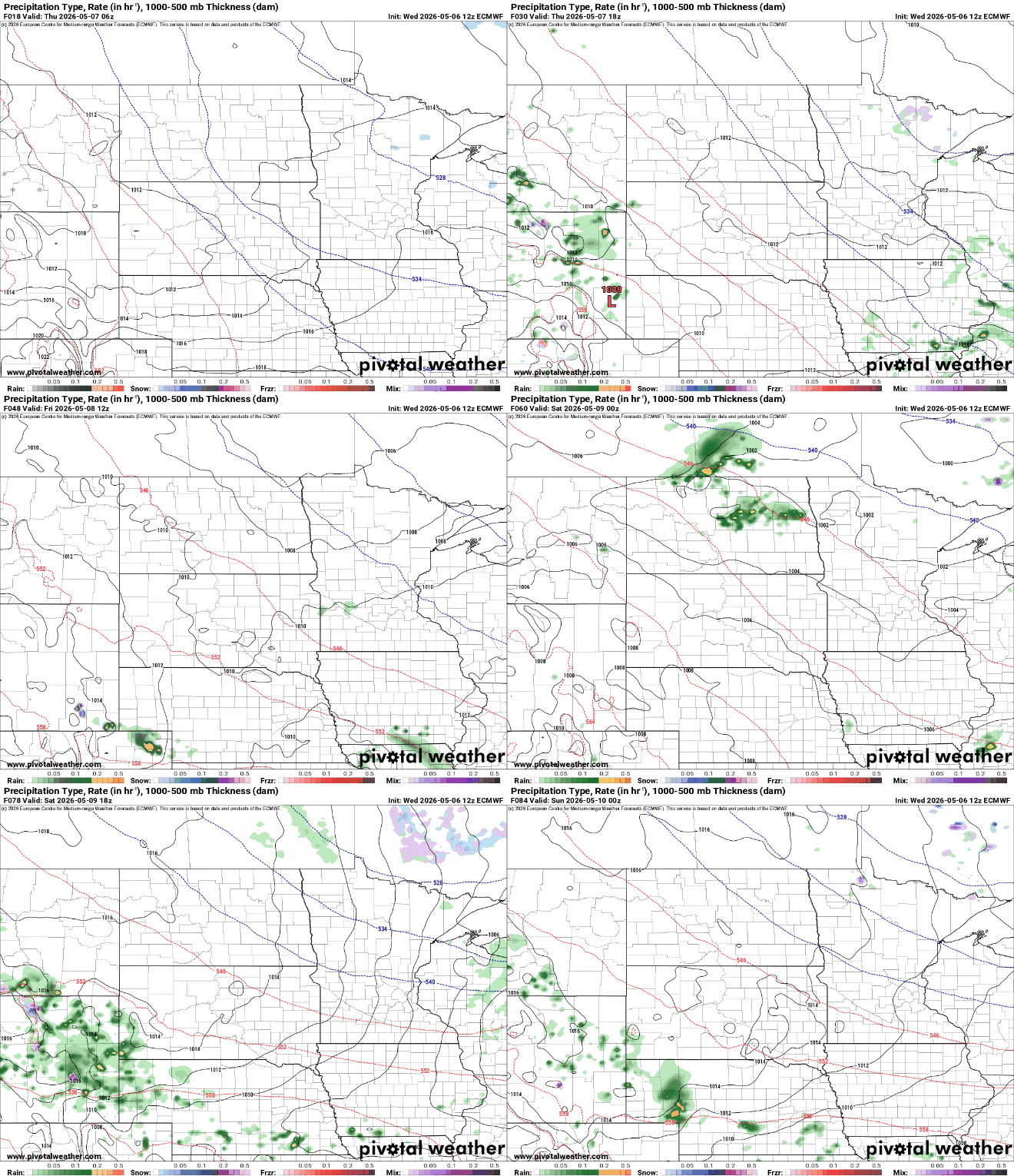
Between those two systems, precipitation will not amount to much at all. This time of year, we need about 1 inch of rainfall per week to keep up with average and that’s critical during the growing season.

The weekend looks seasonable with highs mostly in the 60s and we should see more in the way of 70s, possibly 80s even next week, especially late in the week.

