
Above-normal temperatures for most Friday; red flag warning
A little cooler for the weekend before more warmth

Go Deeper.
Create an account or log in to save stories.
Like this?
Thanks for liking this story! We have added it to a list of your favorite stories.


Temperatures will warm to near 70 degrees in southern Minnesota Friday. A disturbance and cool front will deliver a few showers Friday night into Saturday.
Above-normal temperatures Friday before a slightly cooler weekend
After a frigid few days, temperatures finally warm on Friday to above-normal readings! We’ll see some scattered clouds with highs near 70 degrees in southern Minnesota. Highs in the 50s will linger into northeastern Minnesota.

We have a red flag warning for portions of central and western Minnesota Friday afternoon due to dry, breezy conditions. The combination of northwest winds 10 to 20 mph and afternoon relative humidity dropping to 20 percent could allow any fire that starts to spread quickly.

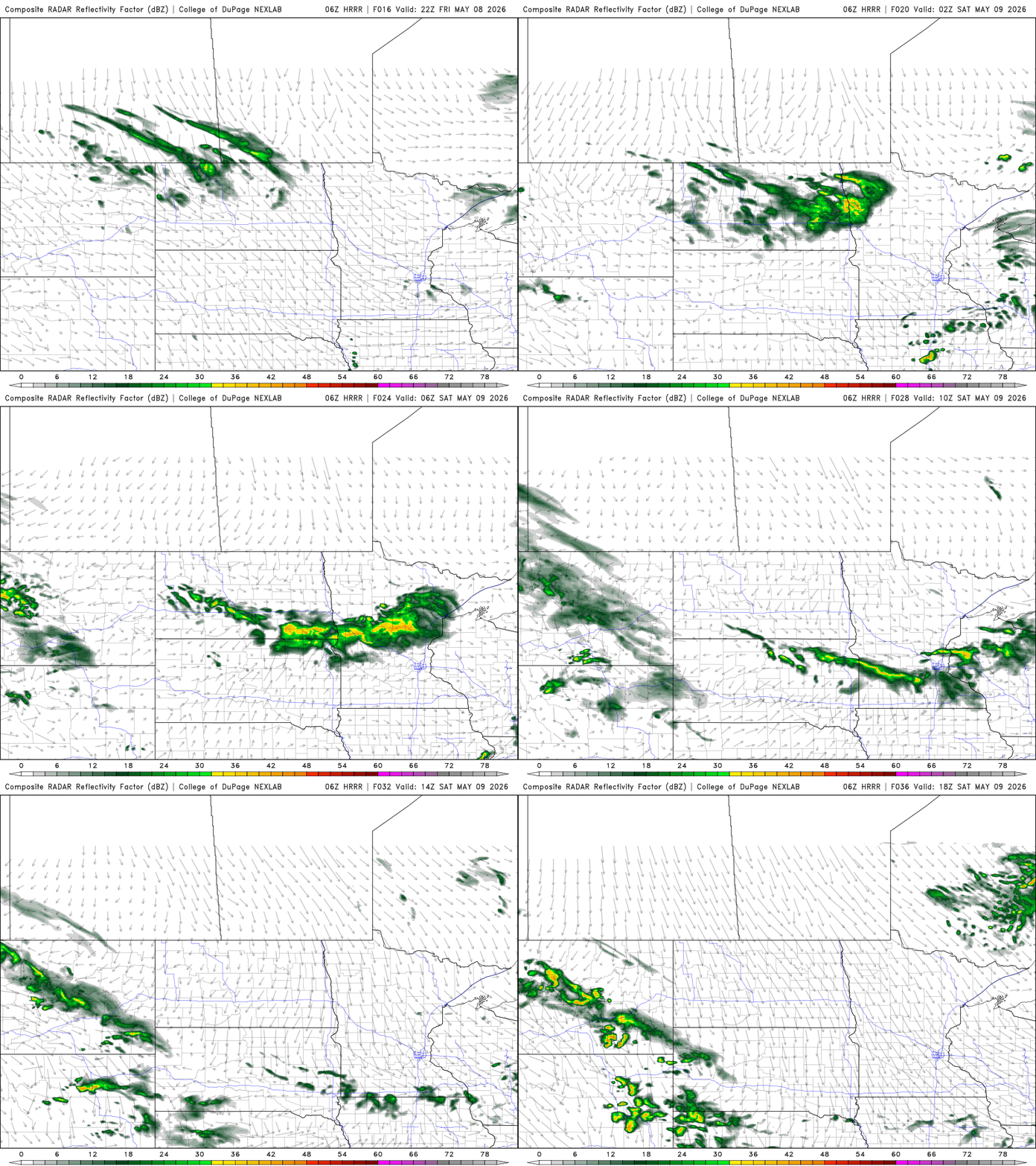
A weak clipper system and cool front will swing through Friday night into early Saturday. It will touch off just a few spotty rain showers and bring some slightly cooler air again for the weekend.
Turn Up Your Support
MPR News helps you turn down the noise and build shared understanding. Turn up your support for this public resource and keep trusted journalism accessible to all.
High temperatures Saturday will cool off into the 60s and 50s with partly cloudy skies. Sunday will be a few degrees cooler with a mix of clouds and sunshine for Mother’s Day.

The cold upper-low and trough to our east finally breaks down and slowly moves east into next week. This will allow some of the warmth trapped to the west to build into our region by mid and especially late week next week.
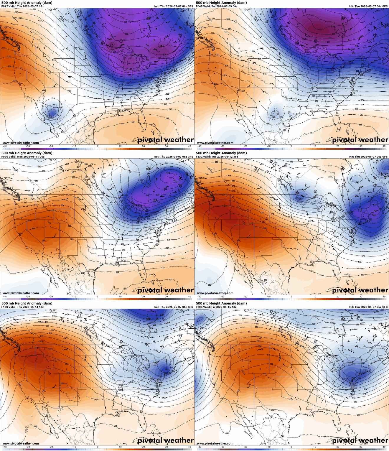
Highs by Tuesday should reach 70 degrees again and several forecast models bring 80-degree readings by the end of next week and next weekend.

We’ll start to become pretty dry with just these light and spotty shower chances. The next chance of some rain and thunder arrives Tuesday. Total rainfall through Wednesday will be relatively spotty and less than one-quarter inch for most.

We haven’t seen a lot of rainfall in the past seven days for most of the state, so in the short-term we’re already accumulating rainfall deficits when the green-up and growing season is now really off and running.
We need about 1 inch of rain per week this time of year to keep up with average.

When we zoom out over a six-month period, we see that most are doing all right for precipitation in eastern Minnesota. Areas that still have drought have deficits of 1 to 3 inches.


