
More frosty nights ahead before a warmup next week
Forecast models show 70s and 80s by end of next week

Go Deeper.
Create an account or log in to save stories.
Like this?
Thanks for liking this story! We have added it to a list of your favorite stories.


A cooler stretch of weather has settled into the state this weekend, bringing crisp temperatures, breezy conditions, and even frost concerns overnight.
Frost advisory Saturday night
While sunshine continues to dominate the weekend forecast, we have a cooler airmass that will bring a couple chilly mornings before a warming trend begins next week.
Clear skies and diminishing winds Saturday night will allow temperatures to fall into the upper 20s to low 30s north, mid 30s across central and southern portions, with readings near 40 degrees in the core Twin Cities metro. Areas outside the main urban center will have the best chance to see widespread frost development by sunrise Sunday.

A frost advisory is in effect late tonight through early Sunday morning for portions of western and central Minnesota along with western Wisconsin. A freeze warning also remains in effect for northwestern Minnesota through 9 a.m. Sunday as overnight temperatures fall to freezing or below in some locations. Sensitive plants and early season gardens should be protected from the cold.
Turn Up Your Support
MPR News helps you turn down the noise and build shared understanding. Turn up your support for this public resource and keep trusted journalism accessible to all.
Northwest winds will ease somewhat into Sunday as high pressure settles overhead, although temperatures will remain below average for early May. Mother’s Day temperatures warm into the low 50s north to low 60s south.

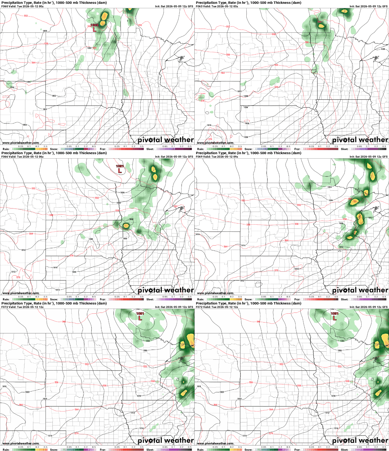
The next meaningful chance for rainfall arrives late Monday into Tuesday as a disturbance drops southeast from Canada into the Northern Plains.
Forecast confidence remains fairly high that much of the region will see measurable rainfall, especially for the northern half of the state. There is still uncertainty regarding how much rain will ultimately fall. While widespread heavy rain is not expected at this time, a few isolated thunderstorms could produce some locally higher amounts.
Warmer air is expected to gradually return by midweek. High temperatures should climb back into the 70s by Wednesday and Thursday with overnight lows moderating into the lower 50s.
The return of milder temperatures will provide a much more spring-like feel after a weekend that has felt more like mid March than mid May.

