
Slightly cooler but splendid Mother's Day weekend
Rain showers push south early

Go Deeper.
Create an account or log in to save stories.
Like this?
Thanks for liking this story! We have added it to a list of your favorite stories.


A cold front will sweep south early Saturday, taking the lingering clouds and spotty showers with it. Behind the front, cooler, breezy, and much drier air will settle into the region for Mother’s Day weekend.
Slightly cooler, but still splendid
While sunshine returns, temperatures will feel noticeably cooler, especially during the mornings as frost and even a few freeze concerns develop by Sunday and Monday morning.
Saturday highs will warm into the upper 40s to lower 50s across northern Minnesota, while southern communities reach the upper 50s to lower 60s.

Gusty northwest winds will develop throughout the day, with gusts reaching 20 to 30 mph at times.
Turn Up Your Support
MPR News helps you turn down the noise and build shared understanding. Turn up your support for this public resource and keep trusted journalism accessible to all.
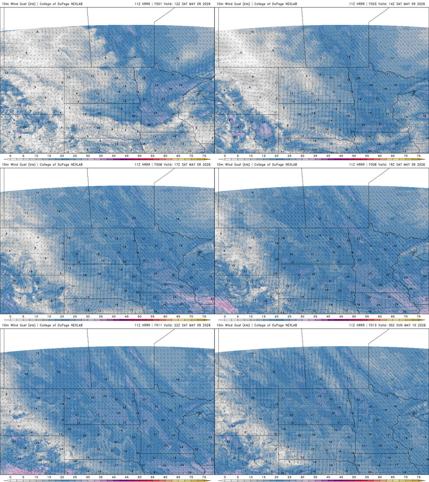
Mother’s Day will bring slightly below-average temperatures, with highs in the low 50s across northern Minnesota and low 60s in southern portions of the state. A light northwest breeze will continue through the day, though winds will be noticeably lighter than Saturday.

The biggest concern in the forecast will be the chilly overnight temperatures expected Sunday and Monday mornings. Frost and freeze potential will exist for many areas outside of the urban core of the Twin Cities. Gardeners, myself included, planning to buy flowers or vegetables this weekend should be prepared to cover plants or simply wait until midweek to plant when temperatures begin to rebound.
Many lawns and gardens could also use some rainfall, and the next appreciable chance for precipitation arrives Monday night into Tuesday. A disturbance dropping in from Canada is expected to bring a round of more widespread rain to the region, although exact rainfall amounts remain uncertain at this time.
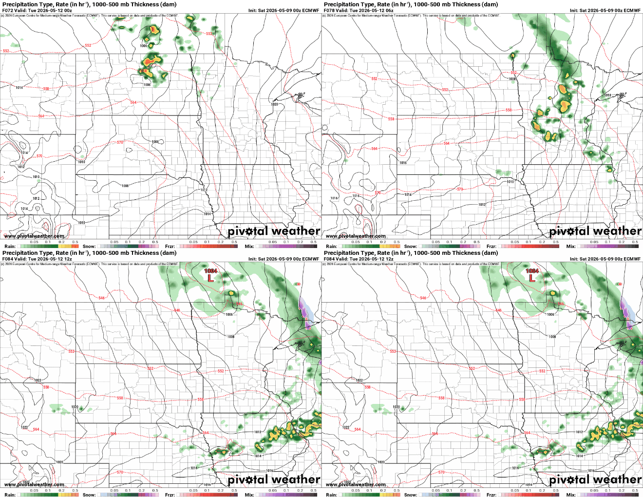
After Tuesday’s system exits, another weaker rain chance may arrive Thursday. Beyond that, the overall pattern looks much warmer.
Forecast models suggests temperatures could surge well into the 80s late next week and into next weekend, marking a dramatic turnaround from the frosty mornings expected this weekend.

