
A chilly finish to Mother's Day weekend; warmer week ahead
Rain chances for Monday night into Tuesday

Go Deeper.
Create an account or log in to save stories.
Like this?
Thanks for liking this story! We have added it to a list of your favorite stories.


Mother’s Day is ending on a chilly note across Minnesota, with widespread frost and freeze concerns developing overnight as temperatures tumble into the upper 20s and low 30s. After the cold start to the week, a quick warm-up arrives Monday before the next chance for rain moves in late Monday night into Tuesday.
Frost and freeze alerts for Sunday night
High pressure moving overhead Sunday night will clear out skies and weaken winds, allowing temperatures to fall quickly after sunset. Overnight lows are expected to drop into the upper 20s to low 30s across much of the state, bringing widespread frost and freeze concerns to western, central, and southern Minnesota.
Frost advisories and freeze warnings stretch from northwestern Minnesota through the southern half of the state and into western Wisconsin tonight. Those flowers and plants purchased for Mother’s Day will need to be covered or brought indoors before bedtime. Temperatures in Hennepin and Ramsey counties are expected to remain above the frost threshold thanks to the urban heat island effect.

Monday will bring a noticeable warm-up across the region, with afternoon highs climbing into the 60s for most areas and even a few lower 70s possible across western Minnesota.

We’ll see a mix of sun and clouds during the day Monday as the next weather system approaches from the northwest. Southerly winds will begin increasing across western Minnesota during the afternoon, helping temperatures recover into the 60s and lower 70s.
The next opportunity for rain arrives late Monday night into Tuesday morning, with many locations expected to receive anywhere from a few hundredths of an inch up to around one-tenth of an inch of rainfall.
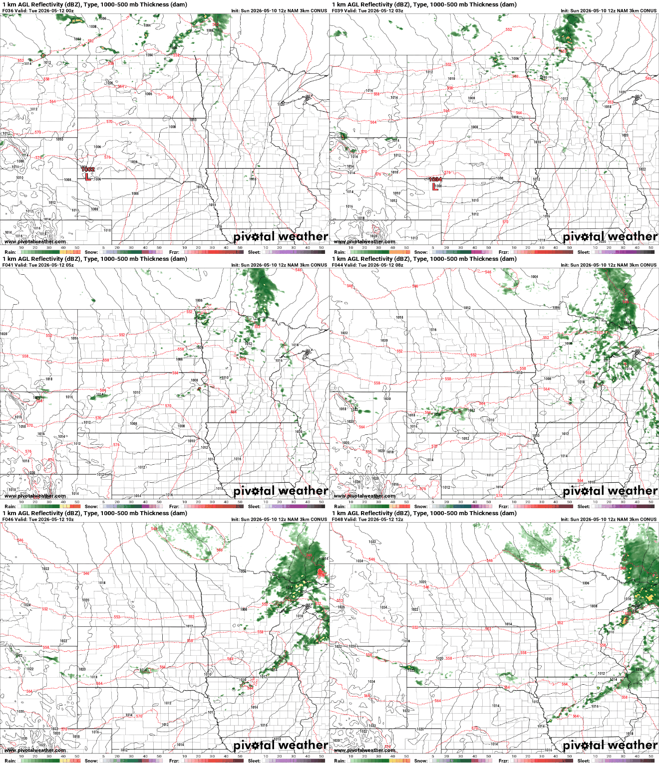
After this final stretch of chilly, fall-like weather, temperatures are expected to rebound later this week. Additional low-end rain chances remain in the forecast during the second half of the week, but confidence in exact timing remains low.
Turn Up Your Support
MPR News helps you turn down the noise and build shared understanding. Turn up your support for this public resource and keep trusted journalism accessible to all.

