Bright Mother's Day weather with a warmup on the way
Next rain chance comes Monday night into early Tuesday

Go Deeper.
Create an account or log in to save stories.
Like this?
Thanks for liking this story! We have added it to a list of your favorite stories.


Sunshine and cool spring temperatures are making for a beautiful Mother’s Day across Minnesota, with highs recovering into the 60s this afternoon. After one more chilly night tonight, a warming trend will begin heading into the new week.
Mother’s Day: Sunny with a slight chill
Skies will clear through Sunday morning as high pressure settles into the Upper Midwest from Canada. Even with plenty of sunshine, the cool Canadian air will keep temperatures below average for mid-May.
Afternoon highs should reach the low 50s for northern Minnesota to the low 60s for southern areas, making for a pleasant but crisp Mother’s Day afternoon.

The coldest part of this forecast arrives Sunday night into early Monday morning. Clear skies and light winds will allow temperatures to fall quickly after sunset, with lows dropping into the upper 20s to the low and mid-30s.
Turn Up Your Support
MPR News helps you turn down the noise and build shared understanding. Turn up your support for this public resource and keep trusted journalism accessible to all.

Widespread frost appears likely, and in some areas across the state, it could briefly fall to freezing. Any flowers or sensitive plants purchased for Mother’s Day will likely need protection overnight to prevent cold weather damage.
The encouraging news is that this may be the final widespread frost event of the season for many locations. Longer-range models continue to favor warmer-than-normal temperatures through the second half of May.
A return to more seasonal temperatures begins Monday as the chilly air mass starts to ease. Afternoon highs will climb into the low to mid-60s across northern Minnesota, upper 60s around the Twin Cities metro, and some lower 70s will return to southwestern Minnesota as warmer air gradually builds back into the region.

Our next chance for rainfall develops late Monday and continues into Tuesday as a weather system moves from the Canadian Prairies into the Great Lakes.
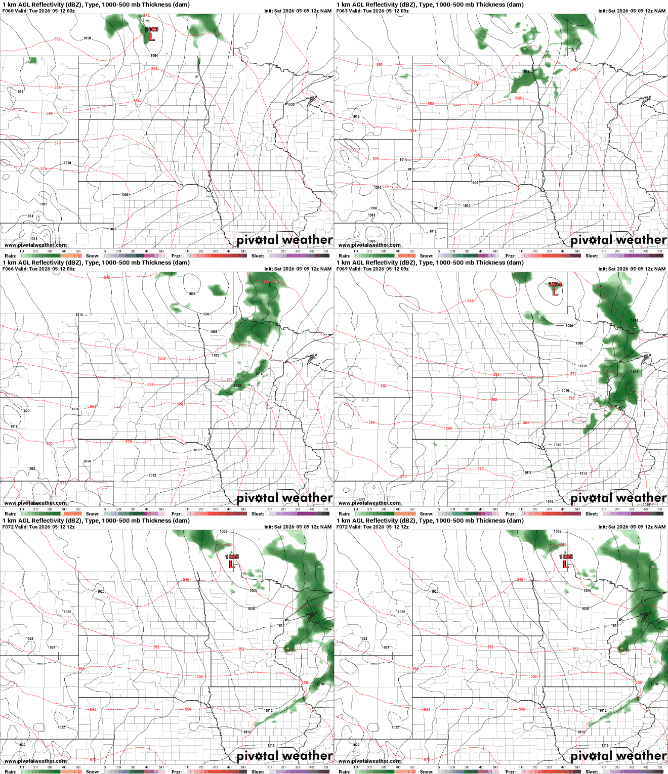
The highest rain chances will most likely be concentrated across northern and eastern portions of the state.
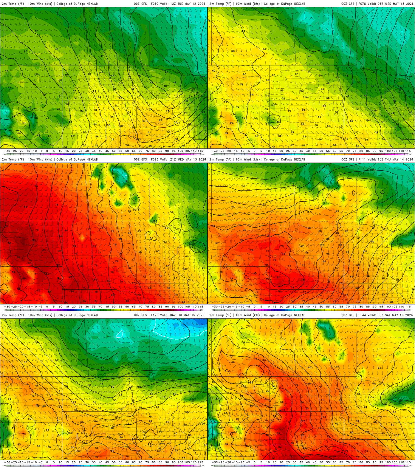
Behind Tuesday’s system, a noticeable warming trend will begin as the jet stream shifts farther north and warmer air builds back into the region. Temperatures are expected to climb back above seasonal averages through the second half of the week, with warmer colors returning to the weather maps as 70s, 80s and even a few 90-degree readings make a comeback across parts of the Plains and Upper Midwest.