
Scattered showers overnight into Tuesday; warmth continues this week
Summerlike temps move in by end of week
Go Deeper.
Create an account or log in to save stories.
Like this?
Thanks for liking this story! We have added it to a list of your favorite stories.


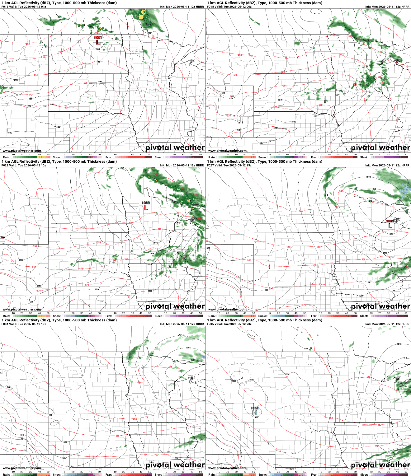
A quickly moving disturbance will touch off some scattered overnight showers into early Tuesday. Clouds will decrease Tuesday. The remainder of the week looks warm.
Scattered overnight showers then decreasing clouds Tuesday
After some rather chilly nights, tonight will be considerably milder thanks to a warmer air mass and some cloud cover. Lows will range from the 50s to the 30s in northeastern Minnesota.

A disturbance will move across the state Monday night, increasing cloud cover and producing some scattered rain showers. Most rainfall is expected to be light.
Clouds will decrease Tuesday morning giving way to midday sun in southern Minnesota and warm afternoon high temperatures. Northern Minnesota will be cloudier and cooler with some spotty showers still possible.

It will also become pretty windy Tuesday. Winds will blow at 15 to 30 mph from the northwest. Relative humidity will drop in the afternoon, too. There are red flag warnings posted for southwestern Minnesota for Tuesday afternoon.

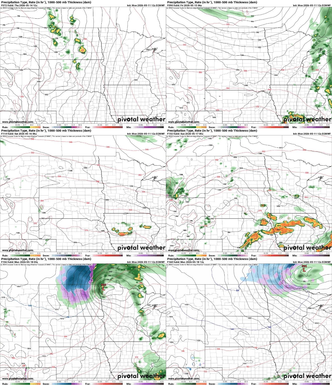
Warmth will be consistent the remainder of the week and in fact become more summerlike by Friday and the weekend. Highs should top out in the 80s.

With the increase in temperature and dew points, we’ll inevitably see the chance of thunderstorms increase. We may even need to watch for severe weather potential.
Turn Up Your Support
MPR News helps you turn down the noise and build shared understanding. Turn up your support for this public resource and keep trusted journalism accessible to all.

