
Warmer week ahead with a couple chances for rain, thunder
Summerlike temperatures by week’s end

Go Deeper.
Create an account or log in to save stories.
Like this?
Thanks for liking this story! We have added it to a list of your favorite stories.


We have a nice Monday on the way. Showers are possible Monday night into early Tuesday. Temperatures will be warmer this week, especially by week’s end.
Warmer week; showers Monday night, storms possible Friday
It’ll be a nice Monday with sunshine. High clouds Monday afternoon will increase, filtering the sun out a bit. Highs will range from the 70s in southwestern Minnesota to the 50s northeast.

Our next chance of rain comes Monday night into early Tuesday with a clipper system. Rainfall will generally be light, under one-tenth of an inch to two-tenths of an inch for most.
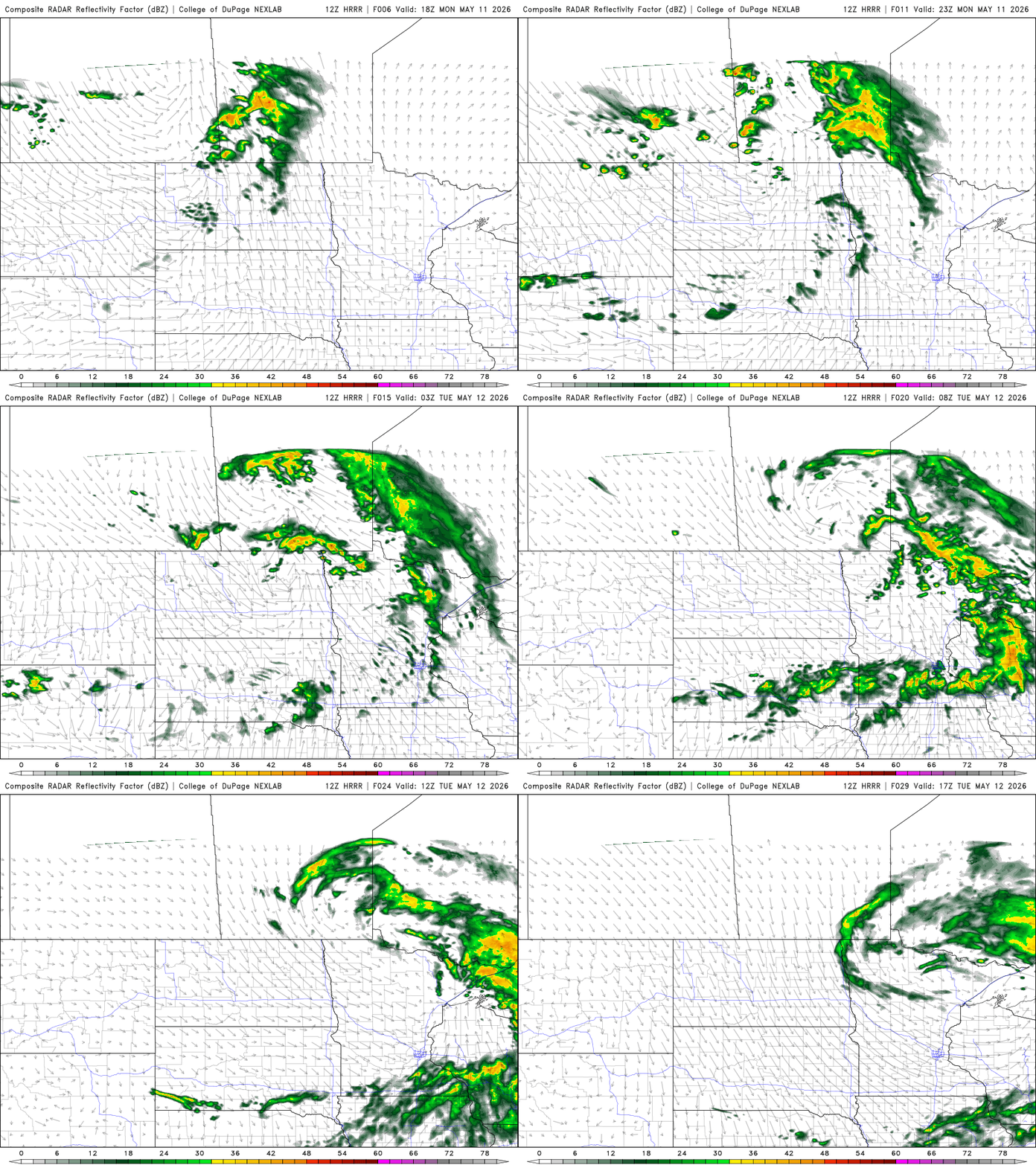
Skies will clear our Tuesday morning. It’ll be a warm day with afternoon highs in the 70s south to 60s and 50s north.

Temperatures will continue to warm with 80s possible by Friday. The warmer-than-normal temperatures persist into the weekend and early next week.

We’ll also see dew points increase by Friday. The increase in moisture and heat will lead to increased instability across the region. This will increase the chances of thunder for the end of the week and weekend.
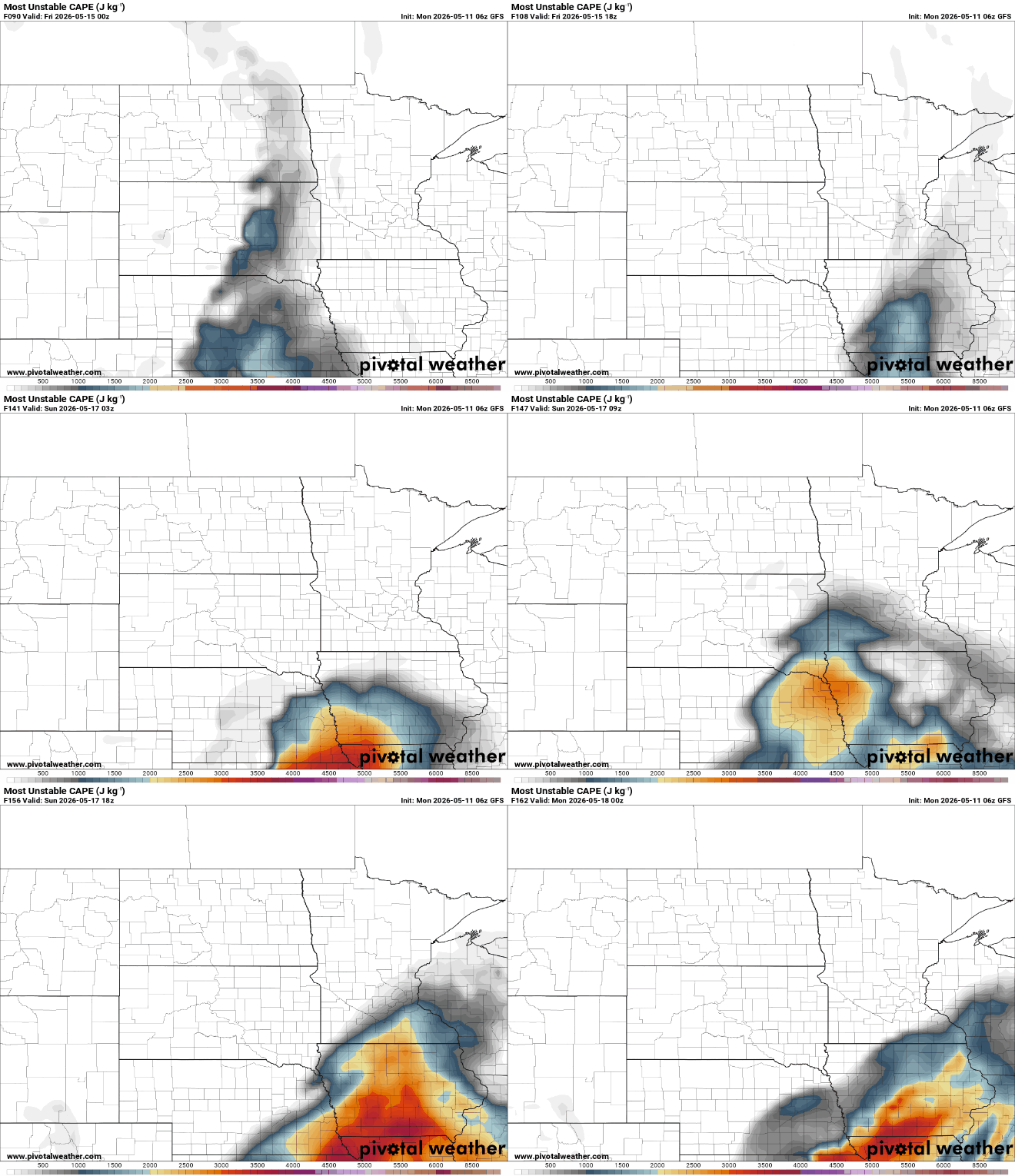
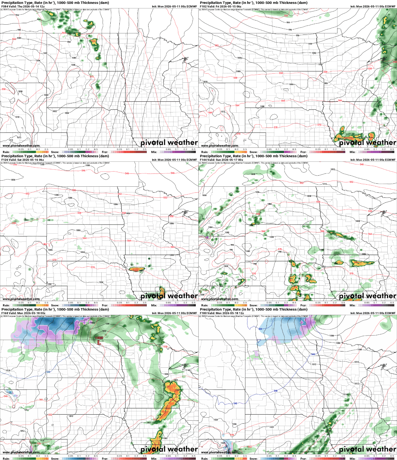
Increased moisture and instability, combined with an upper-level disturbance, will touch off the chance of spotty thunderstorms late Thursday into potentially the weekend, on and off. There may even be the chance of strong to severe storms to monitor.
Turn Up Your Support
MPR News helps you turn down the noise and build shared understanding. Turn up your support for this public resource and keep trusted journalism accessible to all.

