
Cooler overnight but more warm days ahead
Thunder chances also increase later this week

Go Deeper.
Create an account or log in to save stories.
Like this?
Thanks for liking this story! We have added it to a list of your favorite stories.


We’ll have a cooler overnight behind a cool front Tuesday night. Warm temperatures are back through the remainder of the week with another chance of rain and thunder late Thursday.
Temperatures continue to warm
It’ll be a cooler overnight with lows dropping into the 40s for southern and western Minnesota with 30s northeast in the wake of today’s cool front. Winds will lighten up some, but still be breezy into Wednesday at 10 to 15 mph.

A red flag warning continues in south-central and western Minnesota through 9 p.m. Tuesday due to the gusty winds and low relative humidity elevating fire weather concerns.

Wednesday will be beautiful with plenty of sunshine and highs in the 70s south and west with 60s and 50s northeast. Those readings are about 5 to 10 degrees warmer than normal.
Turn Up Your Support
MPR News helps you turn down the noise and build shared understanding. Turn up your support for this public resource and keep trusted journalism accessible to all.

Thursday will be warmer with low 80s in western Minnesota and 70s across much of central and southern Minnesota.
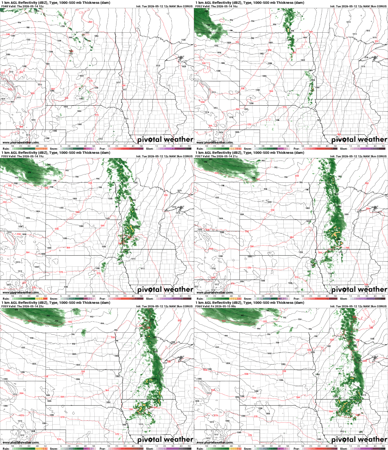
We’ll also see our next chance of rain and thunder develop. Scattered showers and storms will develop midday in western Minnesota and track east by the late afternoon and evening.
Summerlike temperatures are still on the way for Friday and the weekend when many of us will see highs near 80 degrees or warmer.

We’re still watching increased chances of thunder as we head into the weekend. The question is how far north muggier dew points can reach in order to produce more widespread storms and potential severe weather.
At this point, Sunday into Monday looks like the best chance for scattered thunderstorms developing.

