
Warmer-than-normal temperatures for the next several days
Rain chances develop Thursday and later in the weekend

Go Deeper.
Create an account or log in to save stories.
Like this?
Thanks for liking this story! We have added it to a list of your favorite stories.


Wednesday through the weekend will bring warmer-than-normal temperatures. We also have at least some hopeful signs of some moisture. Showers develop later Thursday and again Sunday.
Above normal temps, rain chances into the weekend
Those who’ve been patently waiting for consistently warm weather will be rewarded in the next several days.
Wednesday through at least Sunday or Monday will bring warmer-than-normal temperatures for most of central and southern Minnesota. We’ll see highs in the 70s south and west again Wednesday with 60s and 50s northeast.
We’ll also have lots of sun Wednesday. It won’t be as windy as Tuesday but still breezy at 10, 15 and even 20 mph at times from the northwest.
Turn Up Your Support
MPR News helps you turn down the noise and build shared understanding. Turn up your support for this public resource and keep trusted journalism accessible to all.

Thursday will be warmer with highs well into the 70s across central, southern and western Minnesota.

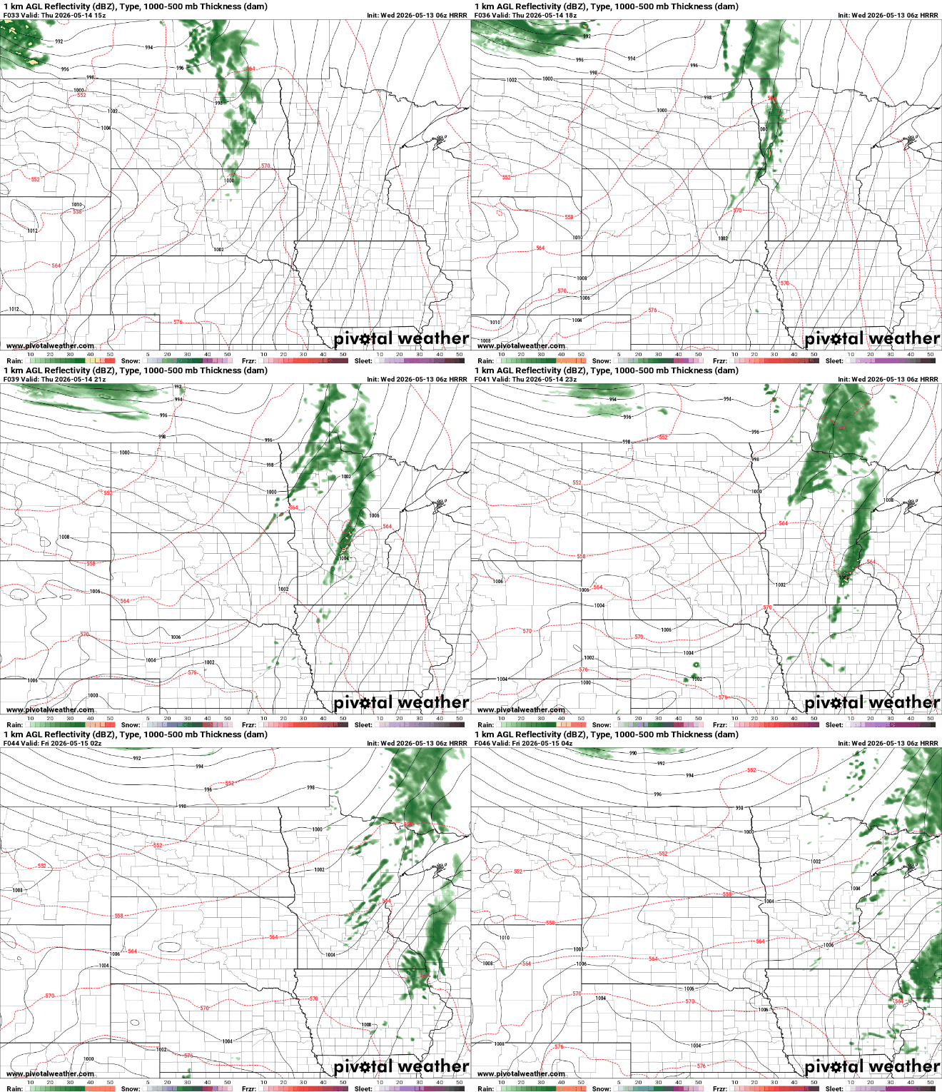
We’ll see cloud cover increase in the afternoon as our next disturbance develops scattered showers and thunderstorms that will start midday Thursday in western Minnesota and track east into the late afternoon and evening Thursday.
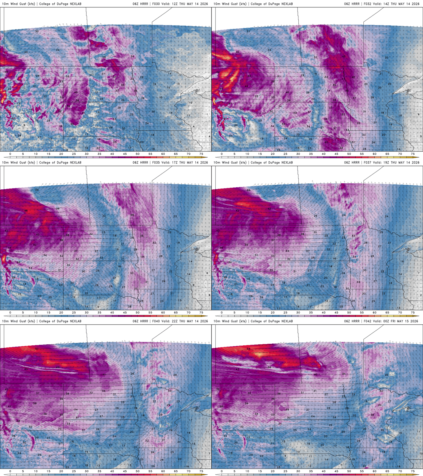
Winds will again crank up Thursday. South winds will develop at 15 to 25 mph in eastern Minnesota but 20 to 40 mph in western Minnesota with the potential for gusts greater than 50 mph in western Minnesota.
Temperatures that are average for late June or early July move in for Friday and the weekend. Highs Friday will be into the low to mid-80s across southern Minnesota.

While widespread, soaking rain cannot be guaranteed, the pattern at least looks to become more active later in the weekend and early next week. The chance of thunder will be on the increase. We may even need to monitor potential severe weather Sunday or Monday.
Activity will be isolated and more south Saturday. The best chances will be Sunday and Monday for widespread potential development.
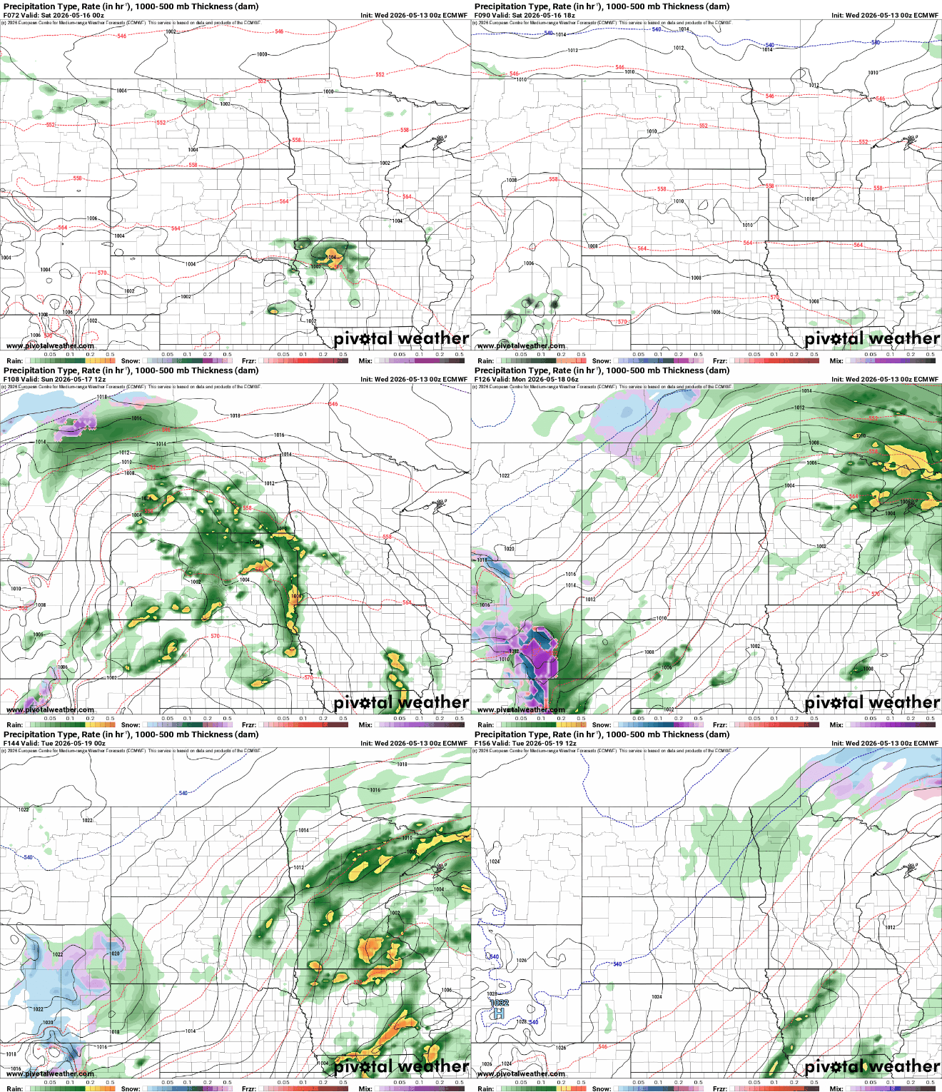
We could really use the moisture after nearly two weeks without significant measurable precipitation. Most models do dump 1 to 2 inches or more of rainfall in large swaths of the state, but forecasting where will be difficult to pinpoint with the nature of thunderstorms.


