
Warm and windy Thursday with showers, thunder possible later in the day
More storms are possible by Sunday and Monday
Go Deeper.
Create an account or log in to save stories.
Like this?
Thanks for liking this story! We have added it to a list of your favorite stories.


We will continue our warm weather Thursday and winds will pick up again. We also have some scattered showers and thunder chances later in the day with better chances by Sunday and Monday.
Summerlike warmth moves in along with chances of showers, thunder
We have a warm and windy Thursday on the way. Skies will start out sunny, but we’ll see clouds increase Thursday afternoon as the next disturbance develops scattered showers and thunderstorms. Highs will range from the low 80s west to the 50s and 60s northeast.

A red flag warning is posted for western Minnesota late Thursday morning into Thursday evening due to elevated fire weather conditions.Relative humidity values will drop to 20 to 30 percent and gusty winds will cause any fire to spread quickly.
We also have a fire weather watch Friday for much of central and northern Minnesota.
Turn Up Your Support
MPR News helps you turn down the noise and build shared understanding. Turn up your support for this public resource and keep trusted journalism accessible to all.

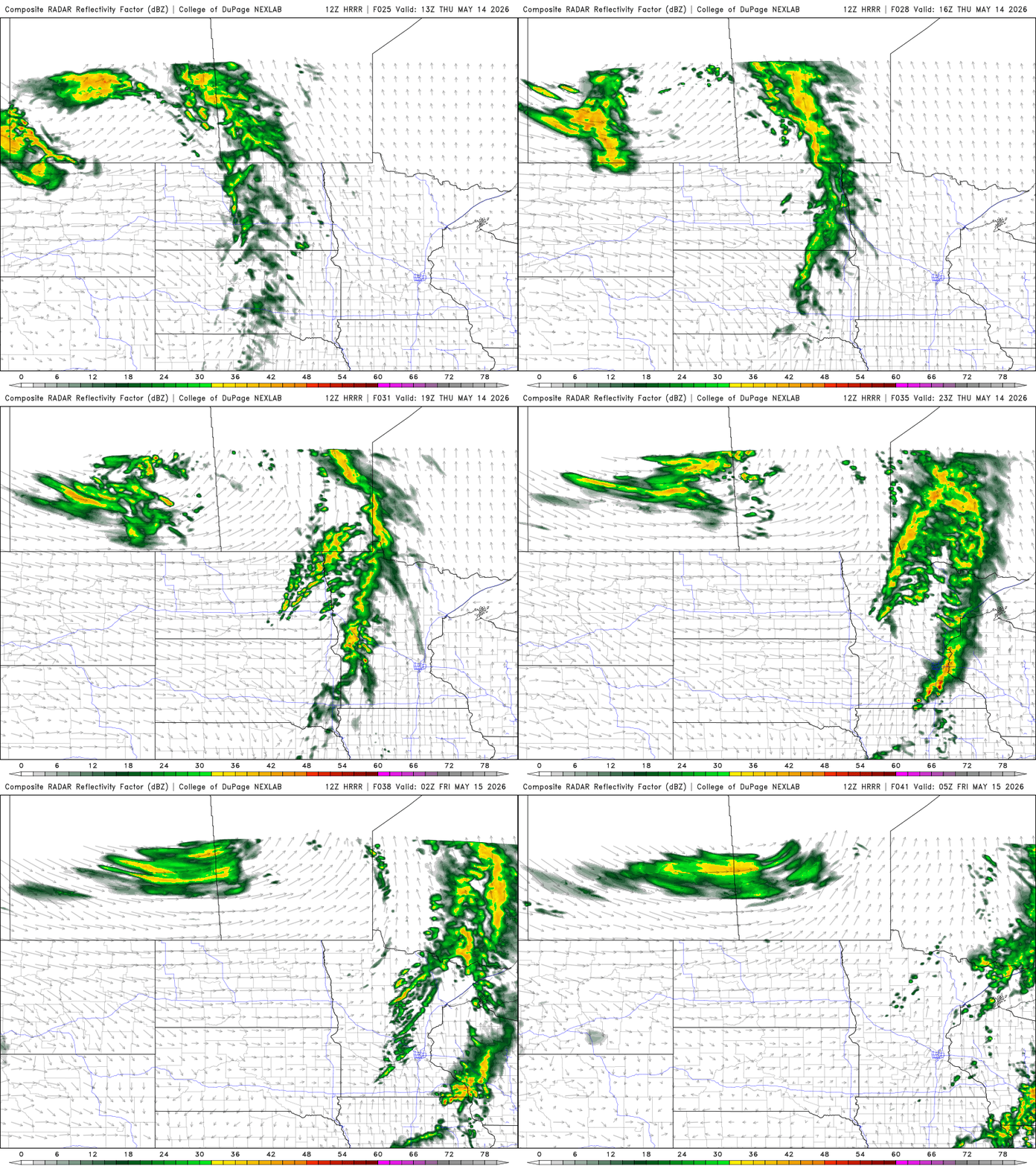
Some spotty to scattered showers and isolated storms develop in western Minnesota that will then track east by late afternoon and evening Thursday. Don’t look for a lot of measurable rainfall for most, however.
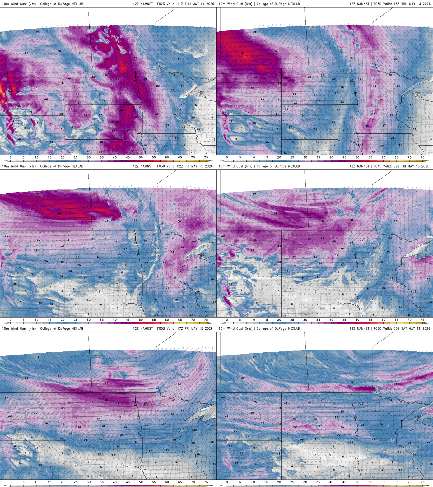
Winds will increase again Thursday. South winds will develop at 15 to 30 mph with the highest wind speeds to the west. Gusts could top 50 mph or higher in northwestern Minnesota.
That wind will be with us on Friday, too. The wind and low humidity have already prompted a fire weather watch for central and northern Minnesota Friday afternoon.
Friday will bring summerlike temperatures with highs in the 80s across southern Minnesota. Those readings are 10 to 15 degrees above normal.

Increased chances of showers and storms develop for Sunday into Monday as muggier dew points march north from the Gulf into Minnesota. The most active period looks to develop Sunday with scattered waves of showers and storms into Monday and Monday night.
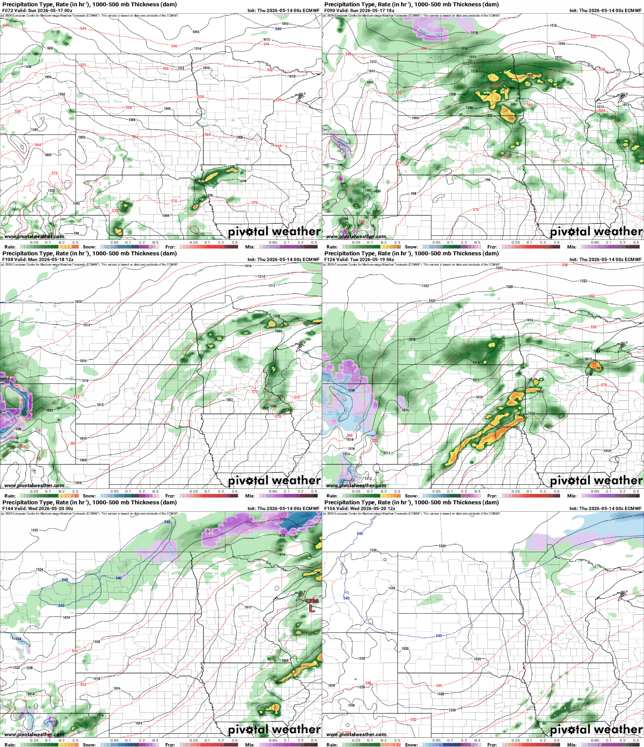
We’ll even have the chance of severe storms Sunday and Monday.
The National Oceanic and Atmospheric Administration Storm Prediction Center forecasts an enhanced slight risk (level 3 of 5) already for Sunday in southwestern Minnesota with a slight risk (level 2 of 5) across much of central and southern Minnesota.

Importantly, we could be in for a widespread soaking rainfall. While thunderstorms are hit and miss by nature, there will be enough waves of showers and storms where everyone should get some good moisture. Up to 1 to 3 inches of rainfall will be possible Sunday into Tuesday.


