
Fire weather danger ceases as wetter weather pattern takes hold
Multiple rounds of thunderstorms expected through early next week
Go Deeper.
Create an account or log in to save stories.
Like this?
Thanks for liking this story! We have added it to a list of your favorite stories.


After a stretch of warm and sunny weather, changes are on the way as the atmosphere becomes more active. Attention then turns to a stalled frontal boundary that could spark thunderstorms across parts of southeastern Minnesota Friday night.
Warm weekend ahead with increasing storm chances
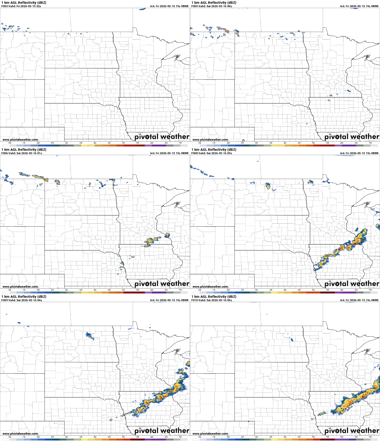
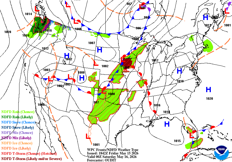
After what will likely be our hottest day of the year so far, a chance for thunderstorms returns, mainly across southeastern Minnesota. A stalled cold front draped across southern Minnesota will help trigger scattered storms Friday night, especially in areas such as Albert Lea, Rochester, and Austin. The strongest storms are expected to remain just to our south into Iowa, where conditions will be more favorable for severe weather.
If some of the storms become strong they could produce some gusty winds and large hail. Storms could begin developing between 5 p.m. and 7 p.m. and continue through the evening hours.
Low temperatures drop into the 40s north, and low to mid-50s south with winds expected to diminish as well.
Turn Up Your Support
MPR News helps you turn down the noise and build shared understanding. Turn up your support for this public resource and keep trusted journalism accessible to all.

Sunny skies and above-normal temperatures are expected Saturday, with highs ranging from the low 60s across northern Minnesota to the upper 70s and lower 80s across central and southern portions of the state.

The weather pattern becomes much more active beginning late Saturday night and especially Sunday. A disturbance developing over the Nebraska area is expected to organize showers and thunderstorms that will spread northeast into Minnesota by early Sunday morning, leading to a wet start to the day.
By Sunday evening, attention turns to a potentially stronger line of storms developing in South Dakota and racing east across southern Minnesota overnight. The Storm Prediction Center has highlighted southwestern Minnesota with an enhanced risk (level 3 out of 5), and a slight risk for the southern half of the state.

The severe weather threat is expected to continue into Monday afternoon and evening as another round of storms develops farther east across central and eastern Minnesota.
At this point, all severe weather hazards may be possible Monday depending on where the front ultimately sets up.

The good news in all of this active weather is the rainfall potential. Many communities across Minnesota and western Wisconsin could pick up 1 to 2 inches of rain between Sunday and Monday, with isolated areas seeing more than 3 inches where thunderstorms repeatedly track over the same locations.

This rainfall will significantly improve soil moisture conditions while also helping bring an end to the spring fire weather concerns that have developed across the region over the past several weeks.

