
Warm and quiet Saturday ahead of much-needed rain
Severe storm threat builds for Sunday into Monday
Go Deeper.
Create an account or log in to save stories.
Like this?
Thanks for liking this story! We have added it to a list of your favorite stories.


Saturday will bring sunshine and another day of warm temperatures across Minnesota before multiple rounds of thunderstorms move into the region Sunday and Monday. A growing threat for severe weather builds for Sunday into Monday.
Quiet, warm Saturday; severe weather to follow
Saturday will feature plenty of sunshine and temperatures climbing into the low 70s in northern Minnesota, with many locations across central and southern Minnesota reaching around 80 degrees.
Farther north, highs will stay in the 50s and 60s. While humidity levels remain very low for one more day, lighter winds should help limit fire weather concerns compared to recent days.

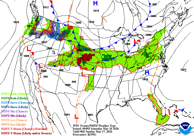
Our attention quickly turns to a much more active weather pattern for the second half of the weekend and early next week. Multiple rounds of thunderstorms are expected Sunday through Monday, with the greatest threat for severe weather arriving Sunday evening and again Monday afternoon into Monday night.
Turn Up Your Support
MPR News helps you turn down the noise and build shared understanding. Turn up your support for this public resource and keep trusted journalism accessible to all.
Sunday temperatures will warm into the 50s and 60s across northern Minnesota, with 70s to near 80 degrees expected farther south.

The Storm Prediction Center highlights southwestern Minnesota in an enhanced risk (level 3 of 5) for severe thunderstorms, with a slight risk extending across the southern two-thirds of the state.

Initial storm development will carry the potential for large hail (greater than an inch in diameter) along with isolated tornadoes. As the evening progresses, storms are expected to merge into a line and race east across Minnesota and Wisconsin overnight.
Once this transition to a more organized line occurs, damaging straight-line winds will become the primary threat Sunday night.
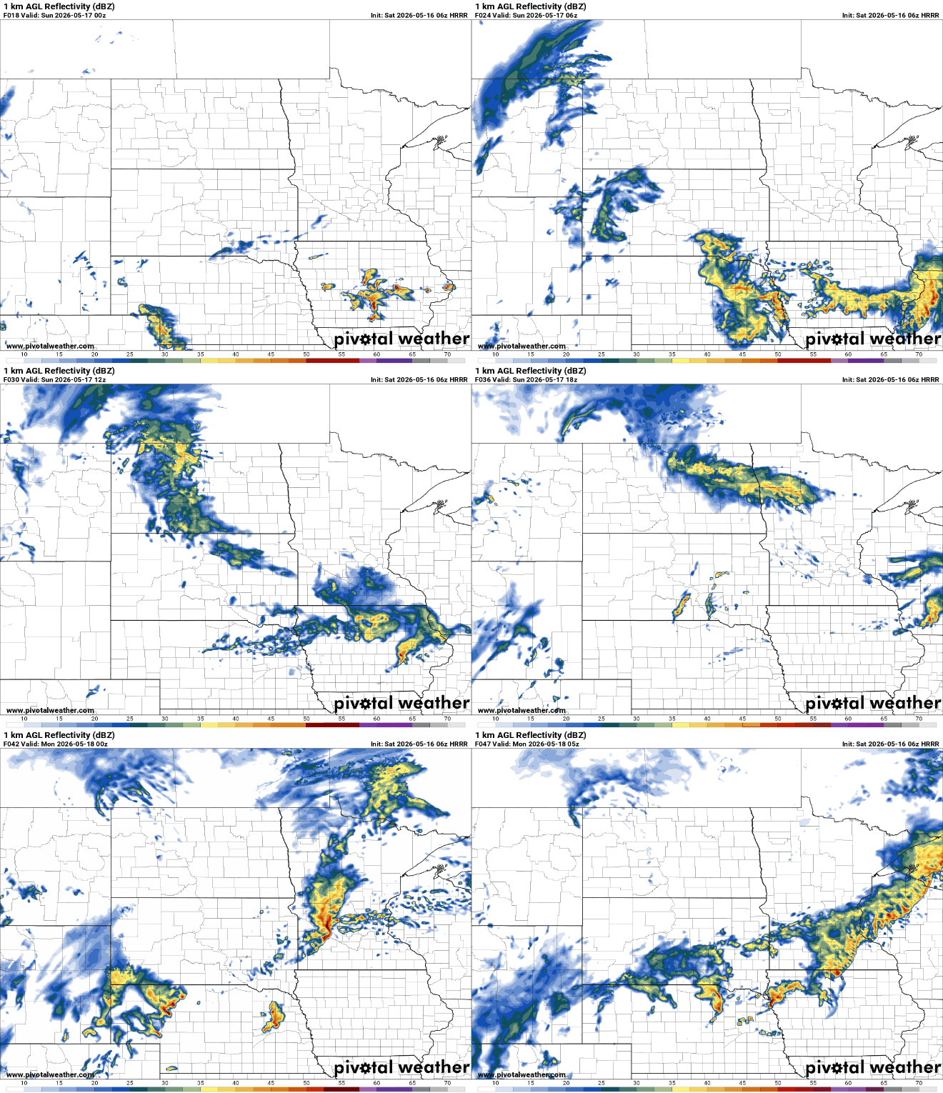
Monday’s severe weather chances will depend heavily on how Sunday night’s storms evolve. Additional thunderstorms may redevelop Monday afternoon and evening, with another risk for severe weather possible.

At this time, the greatest threat Monday appears more likely across Iowa and southern Wisconsin, though parts of southern Minnesota could still see strong to severe storms.
In addition to the severe weather potential, this system will also bring much-needed rainfall to the region. Many areas could receive 1 to 2 inches of rain between Sunday and Tuesday, with isolated higher totals possible where repeated rounds of thunderstorms occur.

Once this active stretch moves out, quieter and cooler weather is expected for the middle of next week, with temperatures returning to more seasonable levels.

