Tornado watch issued for southern Minnesota; severe weather threat in southern Minnesota
Damaging wind, large hail and isolated tornadoes possible

Go Deeper.
Create an account or log in to save stories.
Like this?
Thanks for liking this story! We have added it to a list of your favorite stories.


A tornado watch is in effect for southwestern and southern Minnesota tonight as conditions remain favorable for severe thunderstorms capable of producing damaging winds, large hail and isolated tornadoes.
Tornado watch issued; severe storms likely
A volatile weather setup is beginning to take shape across southern Minnesota as muggy dew points in the low 60s and temperatures climbing into the 80s continue to fuel an increasingly unstable atmosphere.

This area will be the primary focus for severe weather Sunday evening and night, with the Storm Prediction Center expanding the enhanced risk (level 3 out of 5) to include parts of south-central Minnesota.

A tornado watch has been issued for southwestern Minnesota until 10 p.m.
Turn Up Your Support
MPR News helps you turn down the noise and build shared understanding. Turn up your support for this public resource and keep trusted journalism accessible to all.
A separate tornado watch remains in effect for southern Minnesota and is set to expire at 1 a.m. Monday.

Thunderstorms developing later Sunday night may produce large hail greater than 1 inch in diameter, damaging winds in excess of 65 mph, and isolated tornadoes.
The main severe weather window for southern Minnesota will likely occur between 7 and 10 p.m., with storms reaching the Twin Cities and eastern Minnesota between 9 and 11 p.m. The line is then expected to continue into western Wisconsin overnight.
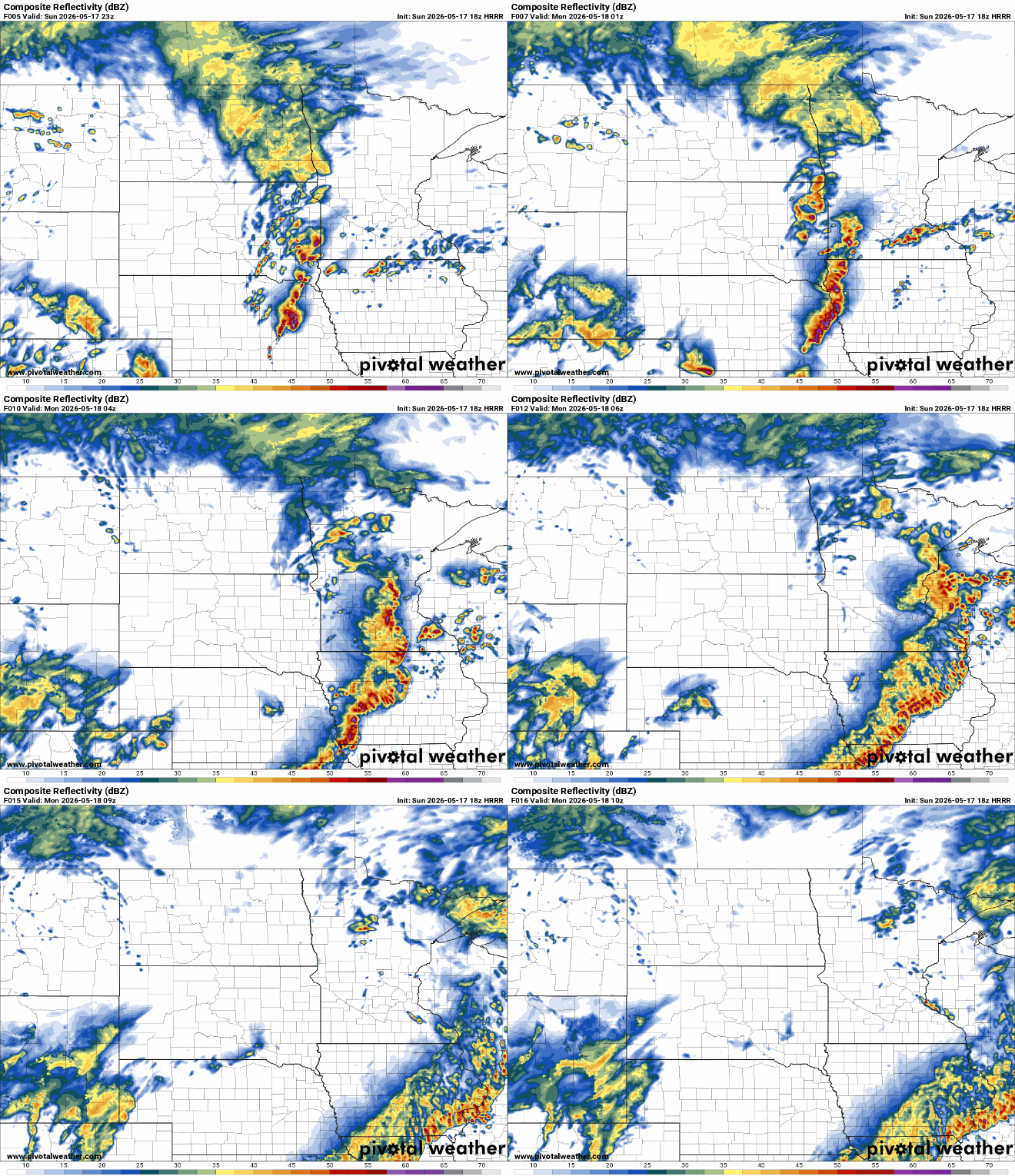
Another round of thunderstorms is expected Monday into Monday night, mainly impacting southeastern Minnesota and western Wisconsin. While isolated severe weather remains possible, the overall severe threat appears lower compared to Sunday’s.

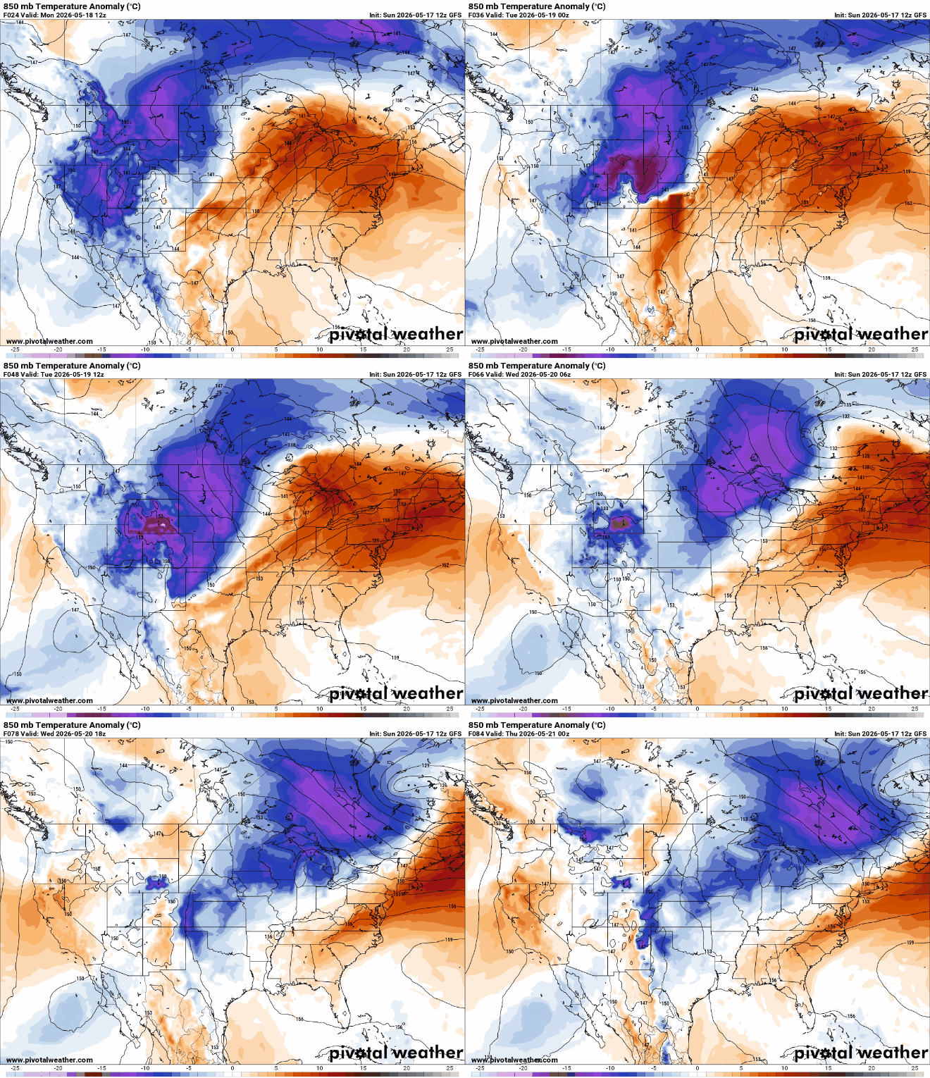
Following the active start to the week, a much cooler and drier weather pattern settles into the region Tuesday through the remainder of the week. High temperatures Tuesday and Wednesday are expected to run 10-15 degrees below average, with overnight lows dropping into the 30s across portions of the state.