
More rainfall on the way Monday night; cooler temperatures to follow
Storms stay south of the state
Go Deeper.
Create an account or log in to save stories.
Like this?
Thanks for liking this story! We have added it to a list of your favorite stories.


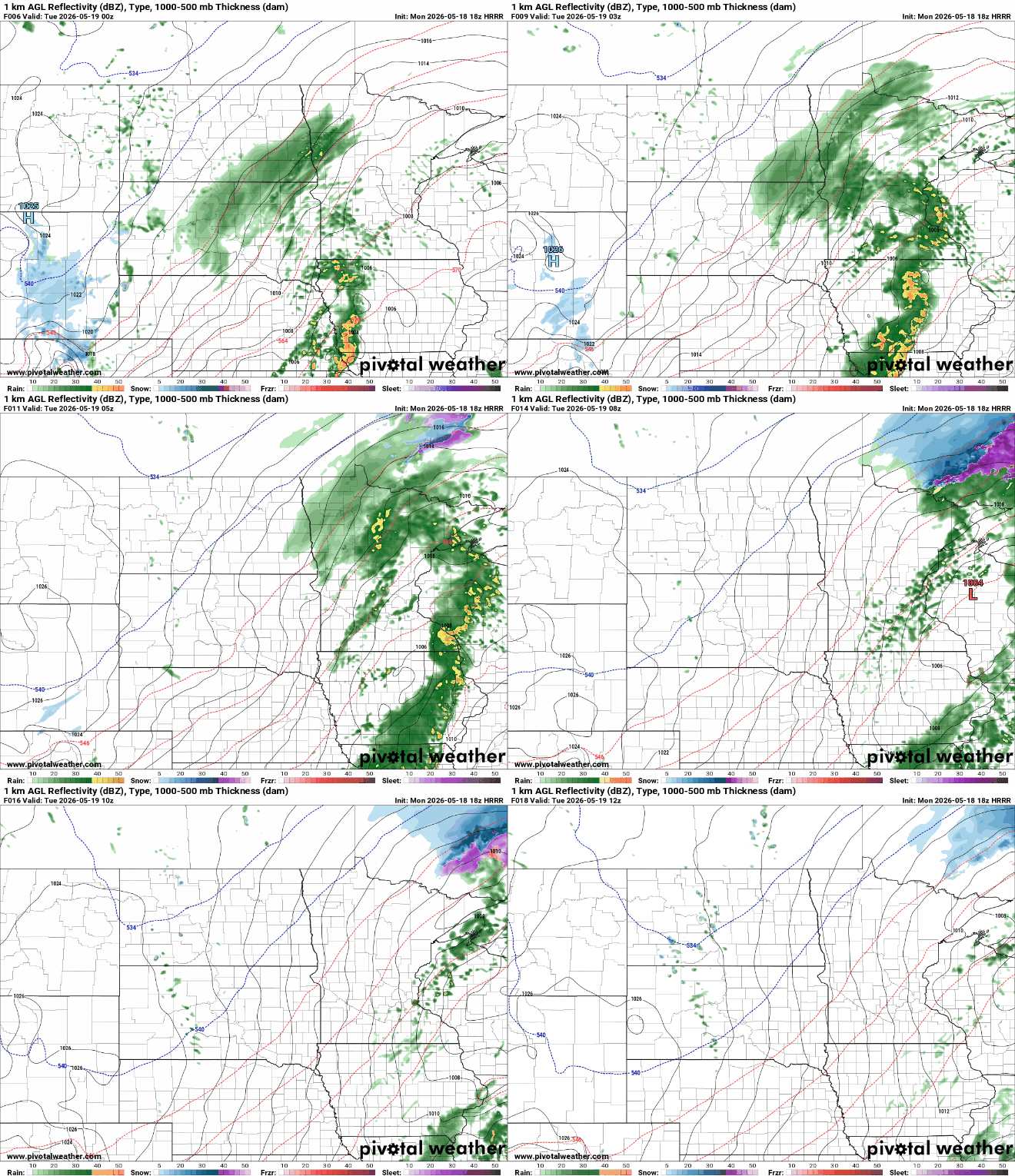
Expect another round of showers and storms Monday night, wrapping up by Tuesday morning. Cooler weather comes midweek with rain chances increasing toward the holiday weekend.
Rain showers Monday night; cooler Tuesday
The forecast is calling for another chance of beneficial rainfall as another system moves in from the central Plains. Amounts will range from one-half inch to more than 1 inch in some locations. Look for showers and thunderstorms to roll through between 8 p.m. and 1 a.m.
There’s a marginal risk that southeastern Minnesota could see a stronger storm or two with marginally large hail and strong winds. The greater risk remains south in Iowa.

Temperatures will drop into mid to upper 30s for northern Minnesota, low 40s in central Minnesota and mid-40s to the southeast.

A cooldown is on the way for midweek with high temperatures struggling to get out of the 50s, and cooler 40s up north.

Turn Up Your Support
MPR News helps you turn down the noise and build shared understanding. Turn up your support for this public resource and keep trusted journalism accessible to all.

