Cool, windy Tuesday with a few showers
Brighter Wednesday and warmer late week
Go Deeper.
Create an account or log in to save stories.
Like this?
Thanks for liking this story! We have added it to a list of your favorite stories.


We’ll see cooler-than-normal temperatures Tuesday behind the system of the last two days. It’ll also be windy with some lingering showers. Brighter and warmer conditions will return.
Cool, windy with some lingering showers Tuesday before late-week warmup
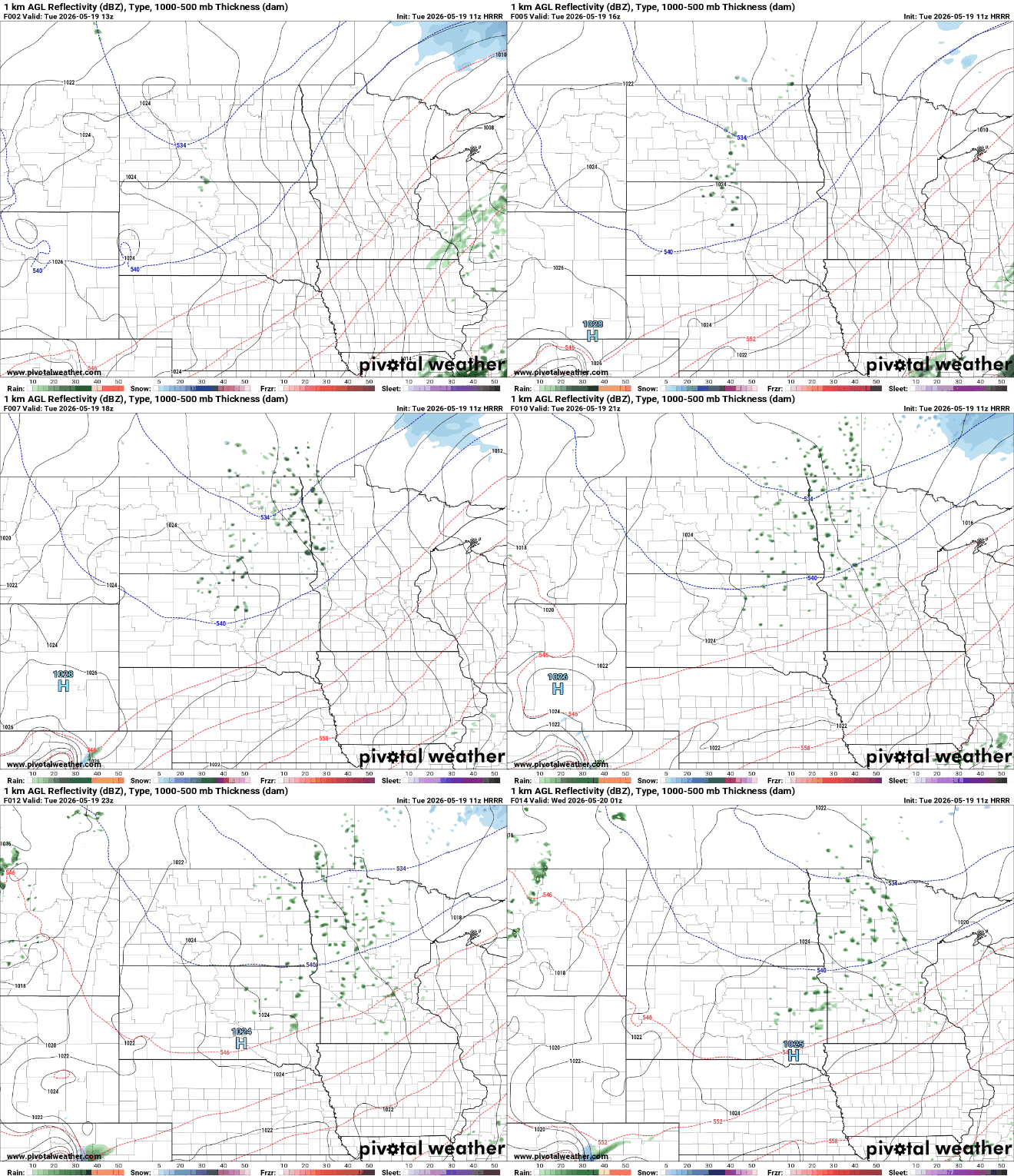
There will be some lingering instability with cool air aloft, allowing for some potential pop-up showers to develop Tuesday afternoon, especially in northern and western Minnesota.
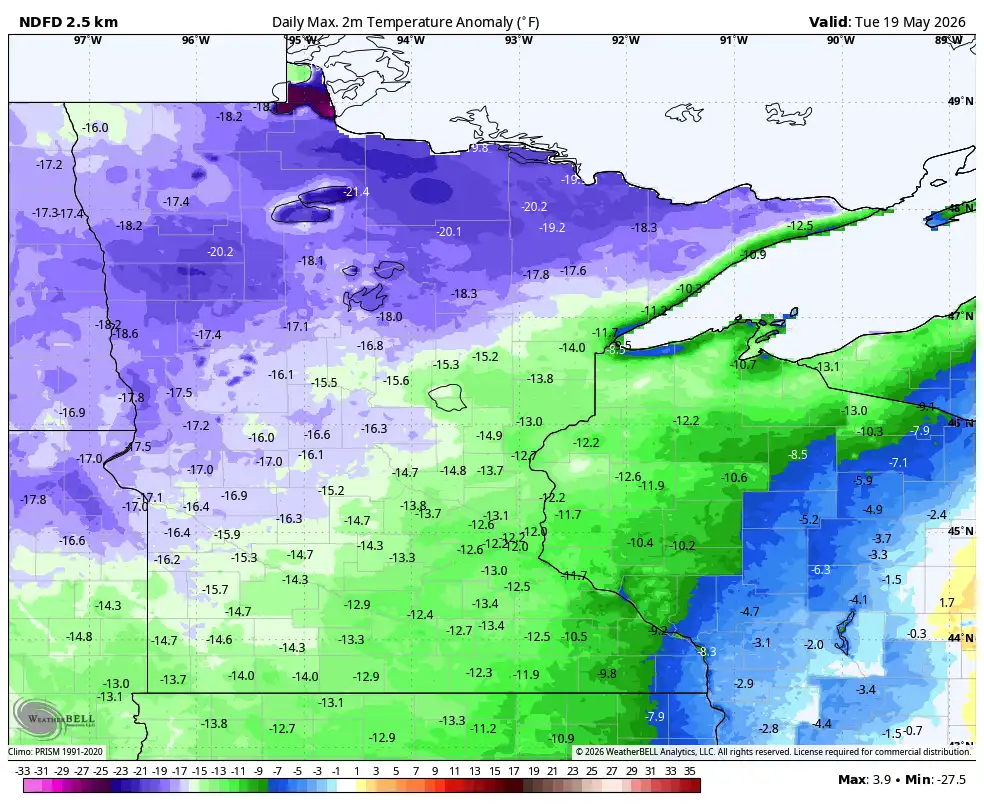
We’ll see lots of clouds in addition to much cooler air moving in. Tuesday afternoon highs will only be in the 50s and 40s across the state. Those readings are about 10 to 20 degrees cooler than normal.

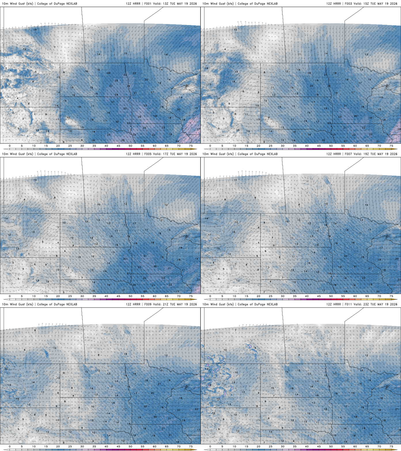
Northwest winds at 10 to 20 mph will make it feel even chillier through the day Tuesday as an early April-like air mass moves in.
Turn Up Your Support
MPR News helps you turn down the noise and build shared understanding. Turn up your support for this public resource and keep trusted journalism accessible to all.
The cool day will set us up for a chilly overnight. Northern Minnesota will be frosty with lows falling into the low 30s while southern Minnesota will see temps dip into the upper 30s and low 40s.
There is a frost advisory Tuesday night for southwestern Minnesota, including Worthington and Marshall.

Clouds should break up more for Wednesday and Thursday as high pressure sets into the region. That will also help us to warm up some as well.
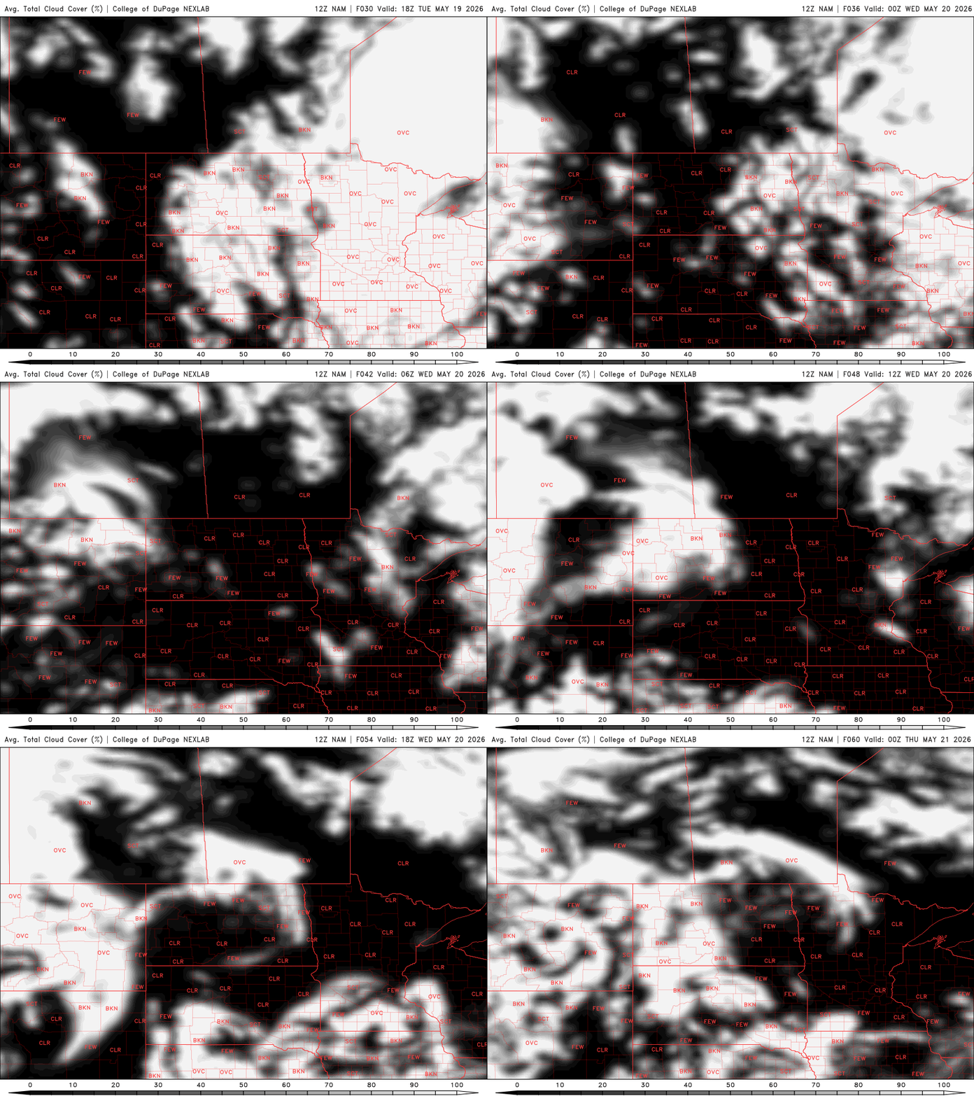
Wednesday will be warmer thanks to some sunshine, but still a little below normal. Normal highs now are around 70 degrees in southern Minnesota. Highs will be in the 60s for most on Wednesday and Thursday with cooler pockets in northeastern Minnesota.

Temperatures will warm again in time for the holiday weekend with 70s and even 80s possible by the end of the weekend.

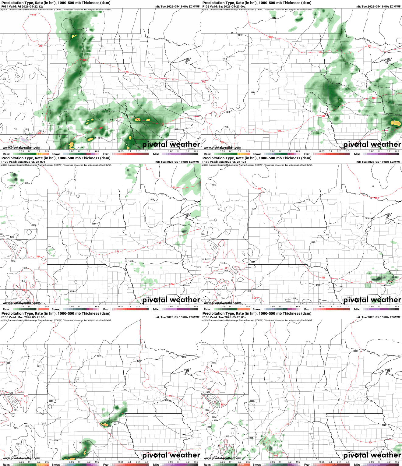
It will be somewhat unsettled though this weekend with the next best chance of showers and thunder chances Friday night into Saturday morning. Chances look more isolated Sunday and Monday.